
smartmicro's new angle on radar detection

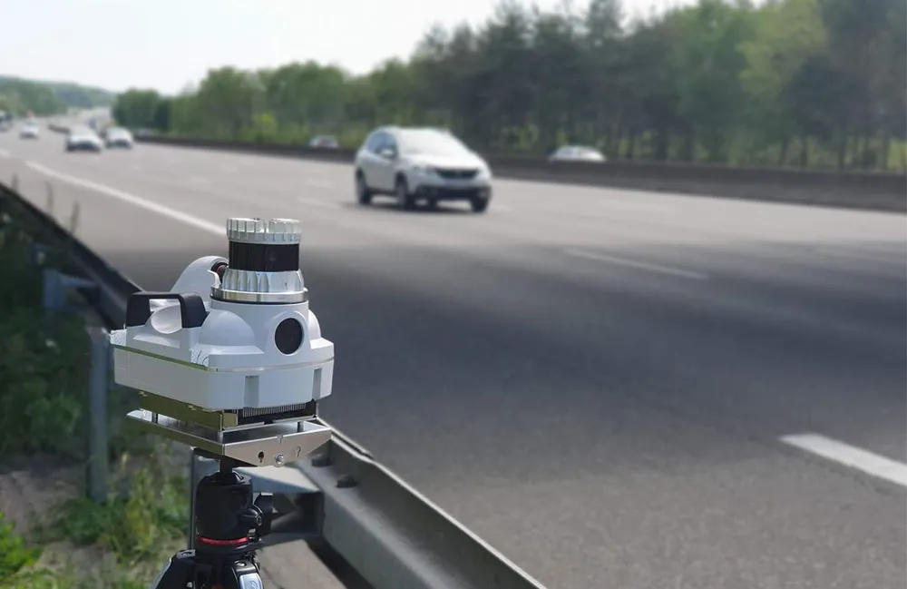
German company smartmicro says its new UMRR-0C radar platform represents a leap in performance in regards to resolution and range. The new sensor can cover multiple lanes and not only separates vehicles by their speed and distance but also by the angle of the reflected Doppler signal.
June 15, 2015 Read time: 1 min

According to the company, this allows a theoretical 256 vehicles to be tracked at any one time at a maximum range of up to 500m.

The company says the system is unaffected by ambient conditions and can separate vehicles travelling at the same speed which can cause one to be missed. It is introducing easy set-up software but will stop short of auto-configuration because it says that leaves too many areas where errors can occur.

For more information on companies in this article

Related Content

  • Parifex highlights 3D Lidar tech
    March 4, 2022
    Parifex, a leading solution provider in project management for speed enforcement and smart cities, will highlight three innovations including 3D-lidar technology: the Double-Side Vigie, an extra-urban speed control system; the Nano-Cam, an innovative sensor for mobile real-time data collection and speed enforcement such as vehicle counting and classification; as well as the Nomad, a multi-infringement sensor designed to fit in the urban infrastructure.
  • Hampshire Constabulary opts for Truvelo speed enforcement
    March 8, 2013
    The UK’s Hampshire Constabulary’s Safer Roads Unit has recently introduced new mobile speed enforcement technology to combat excessive speeds on the county’s roads. The LASERwitness Lite from Truvelo comprises laser speed measurement and digital video technology, combined with built in infra-red illumination for night time operation. The unit is extremely compact and can even be deployed from a police motorcycle if desired. This is beneficial in those locations where there is no suitable parking for a spe
  • NCSR demonstrates dangers of red light running
    August 6, 2015
    The US National Coalition for Safer Roads (NCSR) has launched an interactive map that showcases the 7,799 red-light running fatalities that occurred in the US between 2004 and 2013. The fatalities are mapped to the city and state that each incident occurred, all the way down to the actual intersection where a fatality occurred in a collision involving red-light running. Through its search function, the map allows viewers the opportunity to find out how many red-light running fatalities occurred in a part
  • Acusensus phone-detection units arrive on English roads
    August 1, 2023
    Australian road safety company says trailer units will be positioned on selected highways