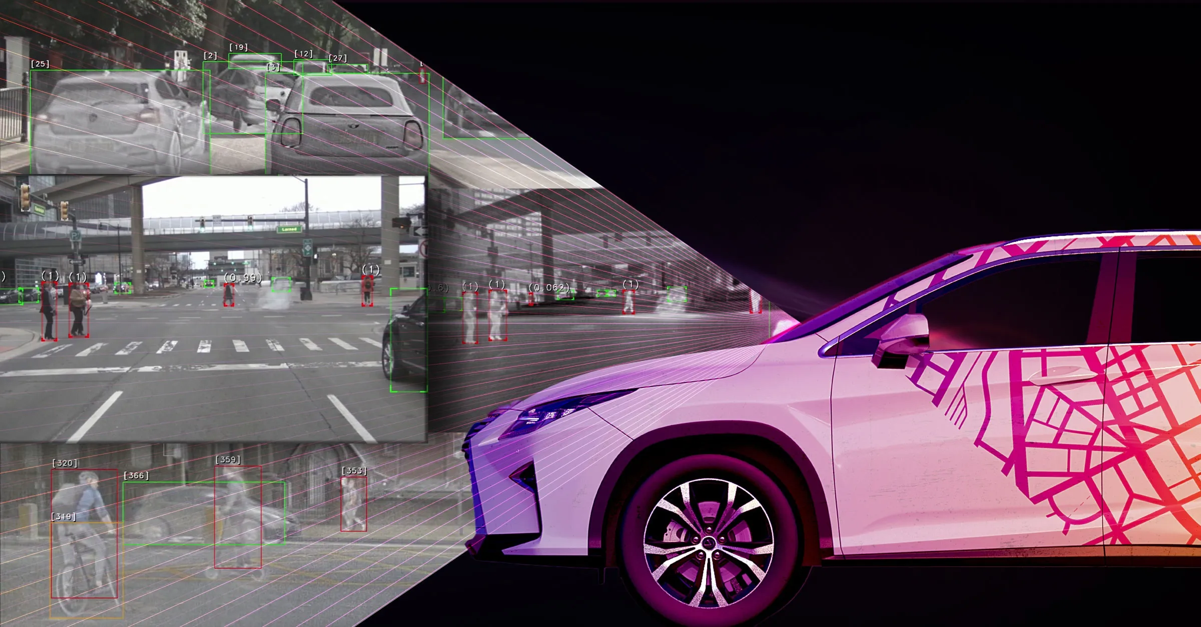
Traficon has launched the commercial version of SafeWalk, a product it has been researching and developing for some time. SafeWalk combines stereovision technology with intelligent image processing technology. By using two CMOS cameras in parallel, SafeWalk converts twodimensional images into threedimensional information.

Such three-dimensional information is useful and necessary as it enables the system to distinguish between real objects and Irrelevant background information such as shadows or reflections. Based on this 3D information, embedded and field-proven Traficon algorithms are able to analyse more 'in depth'; delivering accurate information on pedestrian presence and pedestrian behaviour.