Road traffic video analytics

RealTraffic Technologies has launched RTTNet, a new video analytics software that allows any surveillance video camera to function as an accurate and reliable traffic sensor
July 18, 2012 Read time: 1 min

RealTraffic Technologies has launched RTTNet, a new video analytics software that allows any surveillance video camera to function as an accurate and reliable traffic sensor.

RTTNet easily integrates into any existing camera network and measures speed and flow in real-time on a lane by lane basis. The technology adapts to any PTZ-platform camera movements. It not only detects the camera's movement, but also automatically relocates the pre-defined detection zones, when the operator returns it near its initial position.

The data, analysed by the software, is transmitted as traffic maps and data files that can then be seen by road users via Internet, PDAs, mobile phones or GPS navigation systems.

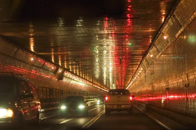
Tests conducted in the Montreal area and near Washington D.C. with live video feeds from traffic cameras showed that this new technology can measure speed and flow in most visibility conditions - night, day, rain, snow and even fog.

RealTraffic Technologies says this new technology was developed for traffic management authorities and also for companies that aggregate traffic data for end-user applications.

Related Content

  • September 25, 2023
    GridMatrix goes back to the future in New York City
    Legacy traffic management infrastructure doesn’t have to be a marker of the past: software upgrades can bring it into the present in a cost-effective and timely way, says Gordon Feller
  • August 26, 2016
    Vaisala: Weather data is vital for connected vehicles
    Vaisala’s Dr Kevin Petty explains why the weather will continue to play a big part in road safety and traffic management in the smart cities of the future. The world is becoming increasingly connected. Thanks to advances in information and communications technology, the cities we live in are becoming ‘smart’, with everything from education to law enforcement managed by integrated tech solutions in a bid to improve quality of life.
  • December 5, 2022
    InnoSenT sizes up ITR-3800
    Small radar system is designed for intersection management and traffic monitoring
  • February 23, 2017
    LiDAR sets its sights on future problems
    AAdvances in LiDAR are helping transport authorities improve services and identify potential problem areas, as geospatial technology expert Dr Neil Slatcher explains. The effects of climate change on the transport infrastructure have long been a cause of concern within the transportation sector - and not only on the structures themselves but also on the surrounding areas. This year, those concerns have become reality with landslides, structural collapses and surfacing issues impacting services across the wo