Road traffic video analytics

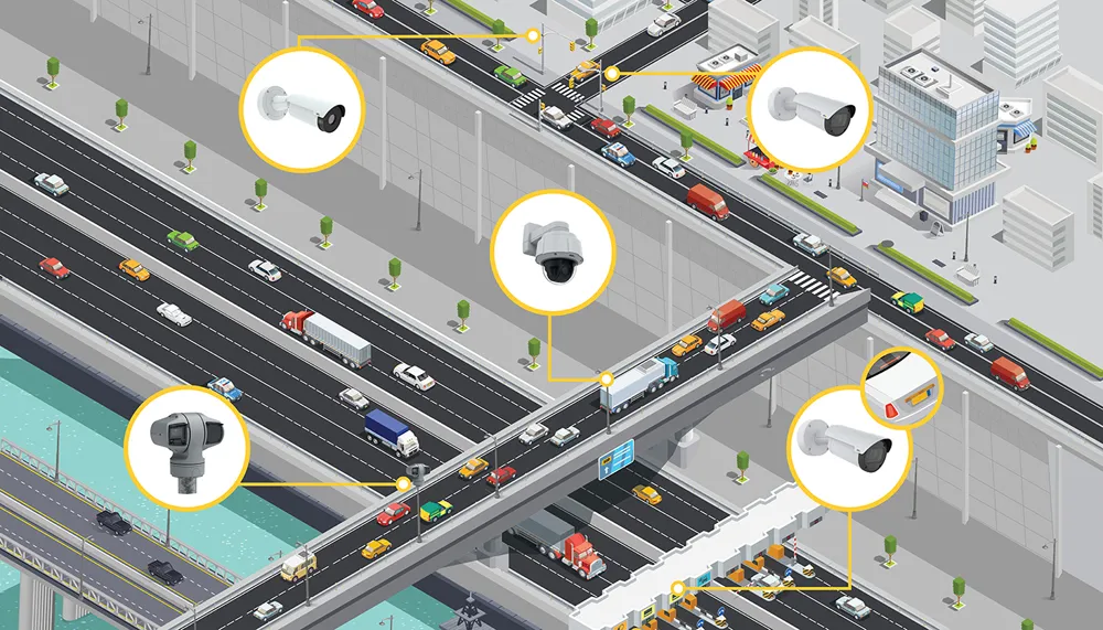
RealTraffic Technologies has launched RTTNet, a new video analytics software that allows any surveillance video camera to function as an accurate and reliable traffic sensor
July 18, 2012 Read time: 1 min

RealTraffic Technologies has launched RTTNet, a new video analytics software that allows any surveillance video camera to function as an accurate and reliable traffic sensor.

RTTNet easily integrates into any existing camera network and measures speed and flow in real-time on a lane by lane basis. The technology adapts to any PTZ-platform camera movements. It not only detects the camera's movement, but also automatically relocates the pre-defined detection zones, when the operator returns it near its initial position.

The data, analysed by the software, is transmitted as traffic maps and data files that can then be seen by road users via Internet, PDAs, mobile phones or GPS navigation systems.

Tests conducted in the Montreal area and near Washington D.C. with live video feeds from traffic cameras showed that this new technology can measure speed and flow in most visibility conditions - night, day, rain, snow and even fog.

RealTraffic Technologies says this new technology was developed for traffic management authorities and also for companies that aggregate traffic data for end-user applications.

Related Content

  • One.network launches North Carolina WZDx 
    January 28, 2022
    The workzone information specialist says it is ready to deliver agency data at no cost 
  • When traffic data can get it totally wrong
    November 30, 2021
    How can a highway devoid of traffic provide data suggesting it is filled with vehicles crawling along? Michael Vardi of Valerann provides an insight into how data can easily be skewed - and what can be done to prevent it
  • Righter shade of pale
    July 24, 2012
    Jon Tarleton, Quixote Transportation Technologies, Inc., talks about developments in mobile weather information gathering Quixote Transportation Technologies, Inc. (QTT) is promoting the greater use of mobile technologies to provide infill between fixed Road Weather Information System (RWIS) infrastructure. It is, the company says, a means of reducing the expense of providing comprehensive, network-wide coverage, particularly in geographic locations where the sheer number of centreline miles causes cost to
  • Axis outlines keys to fully-optimised traffic surveillance
    November 16, 2020
    To showcase why a focused suite of traffic surveillance solutions is critical to efficiently manage the road, Axis Communications, a leader of IP-based products and solutions that offers a purpose-built portfolio for roadside surveillance, has created a new infographic called “Total surveillance solutions for traffic management.”