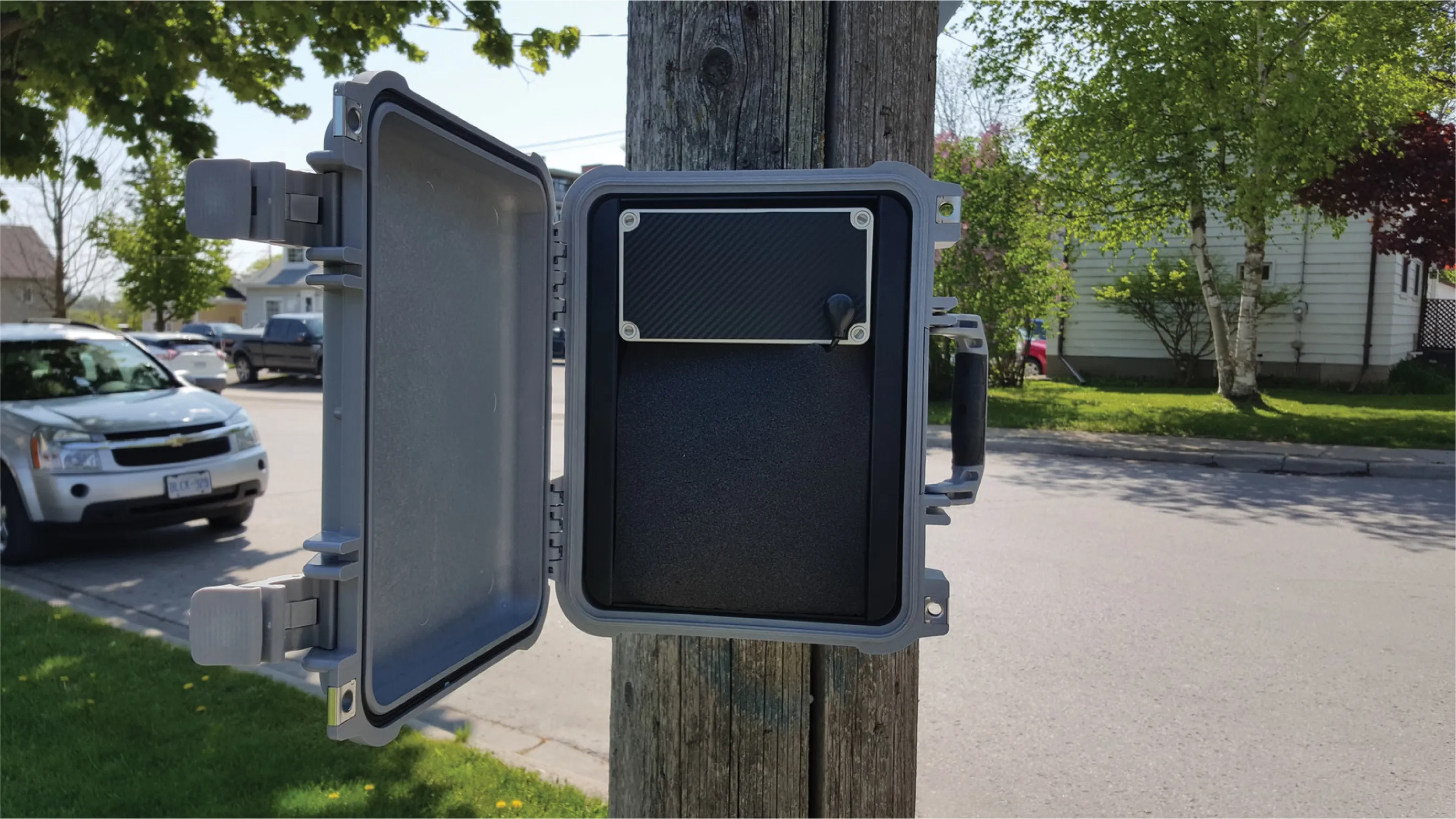
Spanish company Imagsa Technologies has unveiled several new products in its Atalaya range of traffic cameras. For instance, the Atalaya3D is an innovative high-speed stereoscopic camera that uses parallel computing techniques to successfully perform real-time three-dimensional analysis of road traffic. It provides, in a single unit, a wide range of traffic measurements, such as precise speed and inter-distance measurement or vehicle counting and classification, combining applications as diverse as speed en

Spanish company 65 Imagsa Technologies has unveiled several new products in its Atalaya range of traffic cameras. For instance, the Atalaya3D is an innovative high-speed stereoscopic camera that uses parallel computing techniques to successfully perform real-time three-dimensional analysis of road traffic. It provides, in a single unit, a wide range of traffic measurements, such as precise speed and inter-distance measurement or vehicle counting and classification, combining applications as diverse as speed enforcement, journey time monitoring or dangerous goods transport control.
Imagsa has also launched AtalayaCompact, an autonomous (no external trigger) megapixel smart camera to perform ALPR in real time and with top accuracy under challenging traffic, light and weather conditions. It integrates a high-speed megapixel CMOS sensor (250fps) and a supercomputing device (FPGA), to detect and analyse license plates in real time.
AtalayaSpeed+Class is a software module that is used with the AtalayaCompact ALPR camera for speed and classification. According to Imagsa, this enables a great variety of traffic measurements in a single ALPR camera, without requiring any additional investments on inductive loops, radars or lasers.
Another product from Imagsa is MercuryTraffic, an ultra-compact license plate sensor that combines a megapixel high-speed CMOS sensor (able to capture up to 1,000 images per second) with high-performance hardware performing advanced image processing algorithms in real time. The company says that license plate images provided by MercuryTraffic enable OCR software to achieve maximum recognition rates.