
ISS launches DeepBlue traffic monitoring sensor

The DeepBlue sensor range from US-based Image Sensing Systems offers a simple to deploy solution for traffic monitoring. Suitable for obtaining online travel time information and origin/destination information for improved infrastructure planning, the auto-configured, easy-to-install, side-fire sensor detects the Bluetooth and Wi-Fi signals from vehicles including hands-free sets, mobile phones and navigation systems.
December 11, 2017 Read time: 1 min
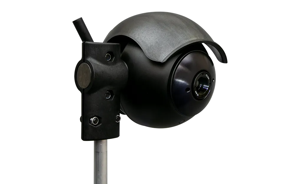
The DeepBlue sensor range from US-based 6626 Image Sensing Systems offers a simple to deploy solution for traffic monitoring.


Suitable for obtaining online travel time information and origin/destination information for improved infrastructure planning, the auto-configured, easy-to-install, side-fire sensor detects the Bluetooth and Wi-Fi signals from vehicles including hands-free sets, mobile phones and navigation systems.

The sensors have specially designed antennas for extreme sensitivity, longer range and faster scanning for enhanced detection of fast moving vehicles in up to 12 lanes of traffic and can be installed on existing roadside poles.

For more information on companies in this article

Related Content

  • Opsys deploys Altos Lidar at Curiosity Lab
    November 11, 2024
    First real-world and US deployment for solid-state Lidar
  • Clearview launches Journey Time Monitoring System
    December 14, 2018
    Clearview Intelligence has launched its Journey Time Monitoring System which uses crowdsourced data to generate automatic traffic alerts for temporary and permanent routes. Paul Bates, head of product management for Clearview, says the system – which analyses anonymous GPS-determined locations transmitted by mobile phone and satellite navigation users - removes the need for installing and maintaining roadside technology. Operators can launch the application from a computer and receive data in minutes.
  • LiDAR sets its sights on future problems
    February 23, 2017
    AAdvances in LiDAR are helping transport authorities improve services and identify potential problem areas, as geospatial technology expert Dr Neil Slatcher explains. The effects of climate change on the transport infrastructure have long been a cause of concern within the transportation sector - and not only on the structures themselves but also on the surrounding areas. This year, those concerns have become reality with landslides, structural collapses and surfacing issues impacting services across the wo
  • Ground-breaking new Flir cameras with AI will optimise traffic flow
    September 16, 2021
    Flir Systems will showcase two ground-breaking intelligent traffic system cameras, the Flir ThermiCam AI* with thermal imaging and the Flir TrafiCam AI visible camera, both with artificial intelligence (AI) to optimise traffic flow on roadways and at intersections. When combined with the Flir Acyclica cloud platform, cities can apply the AI-camera data to predict traffic, prevent congestion and potential accidents, and create safer roads for drivers, cyclists, and pedestrians, 24 hours a day