Inrix traffic monitoring upgrades

Inrix’s latest traffic monitoring tools help transportation agencies in the US and Europe monitor conditions on more roads in real-time and receive earlier notification of accidents, unplanned road closures and other events.
November 19, 2014 Read time: 1 min

163 Inrix’s latest traffic monitoring tools help transportation agencies in the US and Europe monitor conditions on more roads in real-time and receive earlier notification of accidents, unplanned road closures and other events.

With detailed traffic speeds every 250 meters (800 feet) across 1.8 million centreline miles of road in 33 countries, the Inrix XD Monitoring site delivers improved insight in daily operations, meeting new regulatory requirements for real-time monitoring of road conditions in the US and Europe. The system provides real-time information on traffic speeds, travel times and the location of congestion on road from highways, ramps and interchanges to arterials, city streets and secondary routes. 

In addition, Inrix Incident Reporter aids roadway management and supports early incident detection. It allows agencies to detect, monitor and manage incidents by providing faster incident detection and access to detailed incident information. When integrated with existing agency incident feeds, INRIX Incident Reporter offers a variety of single-click editing tools and on-the-fly validation to streamline incident creation and enhance productivity.

For more information on companies in this article

Related Content

  • When weather warnings get hyperlocal
    August 24, 2016
    David Crawford looks at new technologies to cope with the age-old problem of driving in bad weather. On the 10-year average, between 2005 and 2014 bad weather contributed to more than 1.5 million vehicle crashes in the US each year, resulting in more than 800,000 injuries and 7,400 deaths. These were the findings of analysis by Booz Allen Hamilton of NHTSA data which concluded that the loss of life, hospital treatment and damage to assets costs an annual average of $42bn.
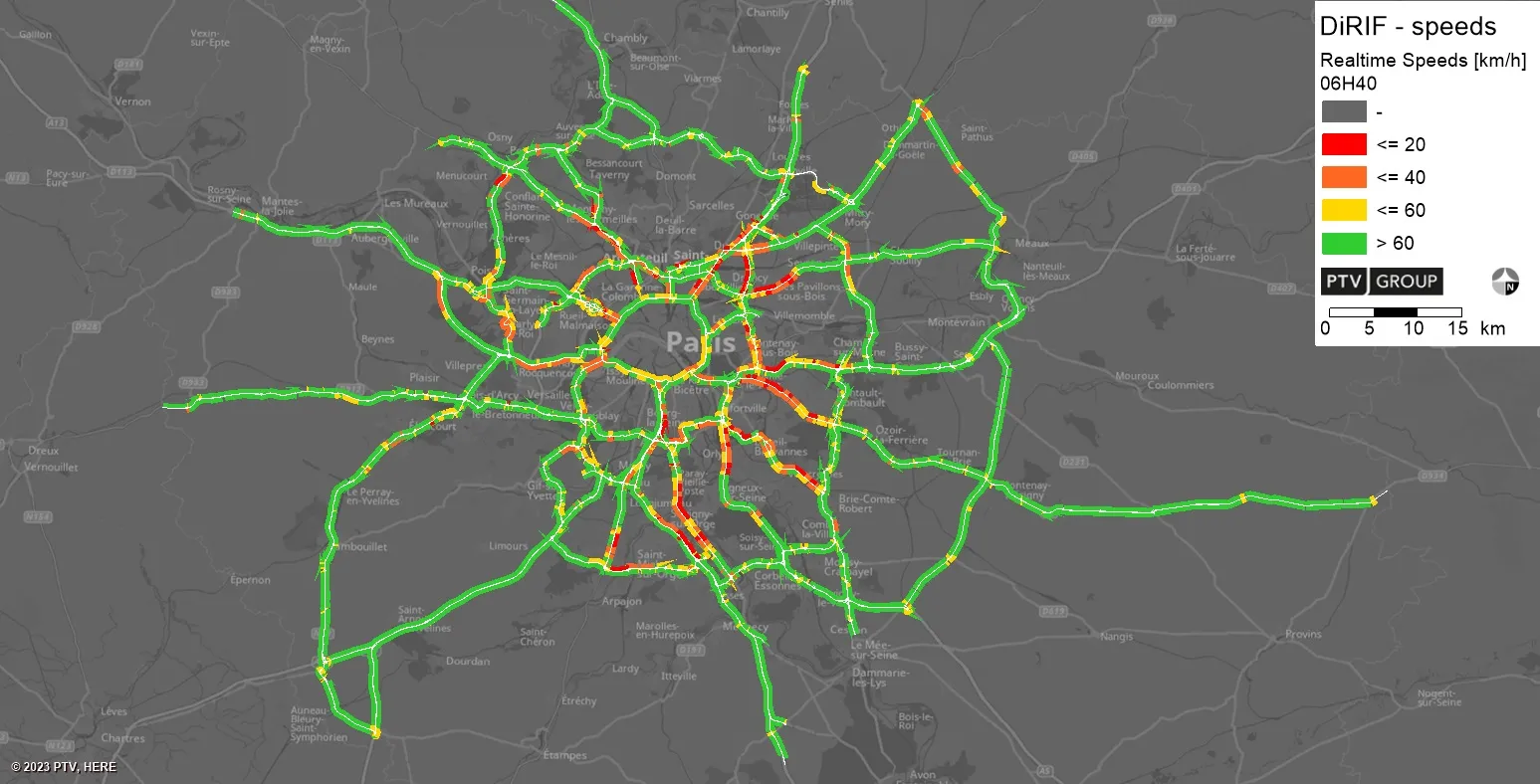
  • PTV provides precise data on Paris traffic
    July 31, 2023
    GPS location of vehicles travelling around French capital will be used to ease congestion
  • Wireless traffic data in real time
    January 31, 2012
    The effect of moving objects on the electromagnetic landscape set up by cellular telephony networks can be detected and interpreted to give real-time traffic data across large geographical areas at low cost. Here, we revisit the Celldar concept. Global economic downturn has pushed public-sector agencies, transport administrations among them, to push even harder for cost efficiencies. Unfortunately, when it comes to transport safety and efficiency the public sector often has to work up to a cost rather than
  • Priority boosts ridership and cuts congestion
    May 4, 2016
    Transit priority is proving a win-win in Europe and Australia. David Crawford reports. Technology that integrates with the Australian-originated Sydney Coordinated Adaptive Traffic System (SCATS) is driving bus signal priority and performance analysis initiatives on both sides of the world; in its homeland, with a major deployment in 2015, and in the capital of the Republic of Ireland.