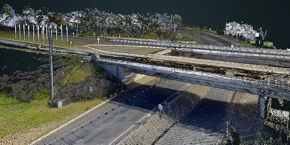
Inrix has launched its cloud-based analytics suite that uses its global traffic data to help public agencies and consultants more effectively monitor, measure and manage the performance of road networks. Roadway Analytics enables users to understand what is happening on roads, to benchmark and improve roadway performance and maximise the investment of public funds.
The technology is based on the Inrix high-definition (XD) roadway network and historical data.

Roadway Analytics enables users to understand what is happening on roads, to benchmark and improve roadway performance and maximise the investment of public funds.
The technology is based on the Inrix high-definition (XD) roadway network and historical data.