Danish wireless technology provider Blip Systems has teamed up with Canadian company G4 Apps in a partnership that combines the wireless solutions of Blip Systems with G4’s driver assistance and traffic management software to provide the BlipTrac traffic monitoring solution for the US. With proven technologies like Bluetooth and wi-fi tracking, the partners say the cost of collecting detailed data for travel time, origin and destination, traffic flow, queuing and more has decreased significantly compared to

Danish wireless technology provider 3778 Blip Systems has teamed up with Canadian company G4 Apps in a partnership that combines the wireless solutions of Blip Systems with G4’s driver assistance and traffic management software to provide the BlipTrac traffic monitoring solution for the US.
With proven technologies like Bluetooth and wi-fi tracking, the partners say the cost of collecting detailed data for travel time, origin and destination, traffic flow, queuing and more has decreased significantly compared to traditional measurement technologies.
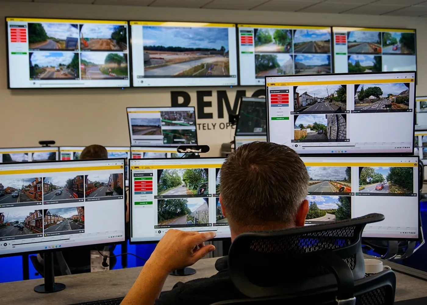
It is claimed that the new partnership with G4 Apps will give North American government agencies and road authorities a cost-effective and innovative new weapon to improve road networks. The solution works by placing BlipTrack sensors strategically along major roads and tracking the anonymous identification codes from Bluetooth and wi-fi devices in passing vehicles.
The data collected from multiple sensors are encrypted, ensuring that it cannot be traced to any individual or vehicle, and passed to a server where speed and travel time are calculated for each road segment enabling real time traffic flow optimisation. The data is also analysed over longer periods for traffic signal optimisation and road planning.
With proven technologies like Bluetooth and wi-fi tracking, the partners say the cost of collecting detailed data for travel time, origin and destination, traffic flow, queuing and more has decreased significantly compared to traditional measurement technologies.
It is claimed that the new partnership with G4 Apps will give North American government agencies and road authorities a cost-effective and innovative new weapon to improve road networks. The solution works by placing BlipTrack sensors strategically along major roads and tracking the anonymous identification codes from Bluetooth and wi-fi devices in passing vehicles.
The data collected from multiple sensors are encrypted, ensuring that it cannot be traced to any individual or vehicle, and passed to a server where speed and travel time are calculated for each road segment enabling real time traffic flow optimisation. The data is also analysed over longer periods for traffic signal optimisation and road planning.