
Blickfield delivers Qb2 Lidar

Device can be used in smart infrastructure and traffic monitoring applications
By Adam Hill November 11, 2022 Read time: 1 min
Blickfield's Qb2 concept was announced at CES 2022

Lidar manufacturer Blickfeld is beginning to deliver its Qb2 device to customers, following its concept announcement at CES 2022.

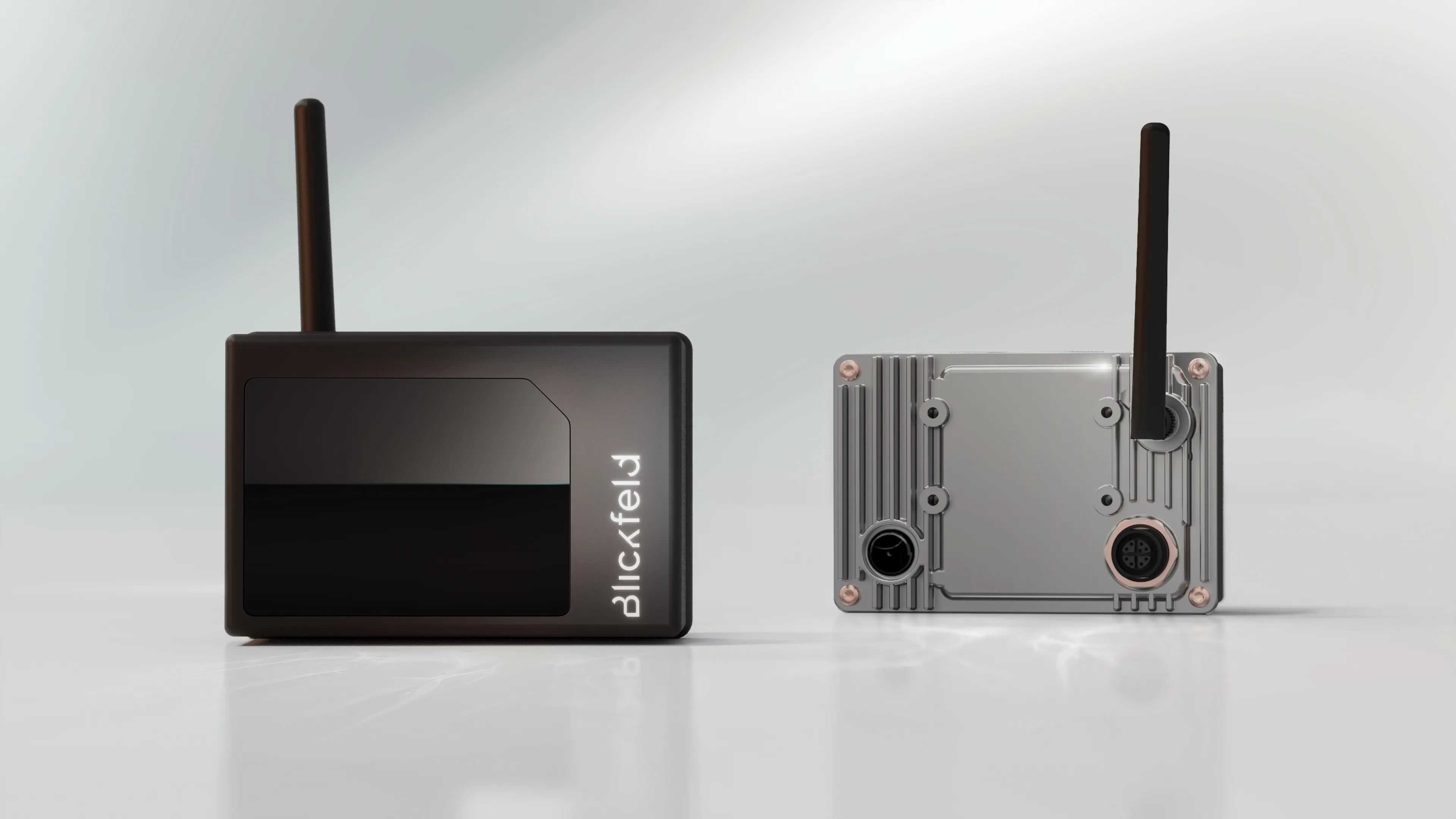
Qb2 is based on Blickfeld’s proprietary solid-state software-defined Lidar technology.

The company says it "enables the capturing and processing of data on a single device, removing the need for additional computers and bringing faster insights, improved response times and better bandwidth availability via edge computing".

Co-founder Dr. Florian Petit says it will "revolutionise" the Internet of Things sector.

Blickfield says there will be efficiency gains through enriched, actionable real-time 3D data for use with smart infrastructure, with Lidar used to anonymously track traffic flow data and crowd movements in transit hubs, for example.

Installation and maintenance costs are low, Blickfield says, due to the on-device WiFi connectivity.

Qb2 offers improved functionalities and performance parameters like enhanced adaptable field of view (FoV), detection range and scan pattern, plus higher resolution, accuracy and an IP67 rating.

For more information on companies in this article

Related Content

  • Inrix aids authorities in dealing with data
    August 18, 2015
    New traffic data products and services have been launched to aid transport and urban planners and business with detailed intelligence on journey patterns, reports Jon Masters. Manual travel surveys ought soon to become a thing of the past for transport planners and the business community. The technology now exists for getting sophisticated levels of traffic and trip data from connected vehicles. Cars and commercial fleets carrying a GPS device, or a mobile phone or smartphone are the sources of the informat
  • Ertico coordinates big data debate
    November 2, 2016
    David Crawford finds that agreeing a common data standard for auto manufacturers’ onboard sensors, navigation system companies and map makers is proving a complex task.
  • Cloud computing technology benefits GIS
    July 17, 2012
    Geographic Information Systems are a relatively late adopter of cloud computing,but the benefits of host services for geospatial data and analysis are becoming clear. Jason Barnes reports Both the concept and the reality of cloud computing have been around for some time. More and more industry sectors are entrusting external service providers with the provision of their computing services via the internet. However, the Geographic Information System (GIS) industry has been slow to embrace the trend. This is
  • StreetLight Data and Altitude by Geotab reach new heights
    March 31, 2025
    Freight planning product covers aggregate truck volumes & congestion metrics