Vricon releases solution for global georegister imagery

Vricon has launched its Precision 3D Registration (P3DR) software suite which, the company says, georegisters imagery automatically anywhere in the world. It works with Vricon’s Globe in 3D brand, a source of geospatial and digital elevation data used by defence and intelligence agencies. The company says that P3DR provides critical accuracy enhancements to other intelligence, surveillance and reconnaissance sources, allowing geospatial intelligence data to be used to direct resources. The solution aims to
May 2, 2018 Read time: 1 min

8782 Vricon has launched its Precision 3D Registration (P3DR) software suite which, the company says, georegisters imagery automatically anywhere in the world. It works with Vricon’s Globe in 3D brand, a source of geospatial and digital elevation data used by defence and intelligence agencies.

The company says that P3DR provides critical accuracy enhancements to other intelligence, surveillance and reconnaissance sources, allowing geospatial intelligence data to be used to direct resources. The solution aims to support analysts with a close-up 0.5m, resolution foundational 3D context and an accuracy of 3m.

In addition, Vricon adds that P3DR can be implemented as a real-time processing workflow for imagery feeds without the need for GPS location, heading information or ground control points.

For more information on companies in this article

Related Content

  • Traffic signal priority initiatives aid better bus travel
    March 15, 2012
    David Crawford investigates traffic signal priority initiatives developing for better bus travel on the US Pacific Coast Transit patronage rises by an average of 35% along commuter corridors equipped with bus rapid transit (BRT) systems, according to the US Department of Transportation’s Federal Transit Administration (FTA). BRT as defined as bus transit enhanced with ITS systems for better services, is winning new passengers attracted by opportunity to avoid increasing fuel costs and traffic congestion.
  • Cepton Lidars deployed in Austria
    February 26, 2021
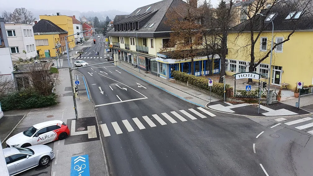
    Partnership with local test alliance ALP.Lab will create real-life, complex traffic data
  • SmartWitness to expand InSight’s LiveCam solution
    May 30, 2019
    SmartWitness, a manufacturer of vehicle CCTV, has entered into an agreement to expand Insight Mobile Data’s LiveCam solutions line. Insight will now offer SmartWitness’ dashboard-mounted video camera as a combination in-cab video and GPS tracking solution for fleets looking to record driving events while also capturing real-time vehicle location and activity. Doug Hawley, chief operating officer, at InSight, says adding a combination vehicle tracking and video unit to LiveCam “provides a simpler dashcam
  • When weather warnings get hyperlocal
    August 24, 2016
    David Crawford looks at new technologies to cope with the age-old problem of driving in bad weather. On the 10-year average, between 2005 and 2014 bad weather contributed to more than 1.5 million vehicle crashes in the US each year, resulting in more than 800,000 injuries and 7,400 deaths. These were the findings of analysis by Booz Allen Hamilton of NHTSA data which concluded that the loss of life, hospital treatment and damage to assets costs an annual average of $42bn.