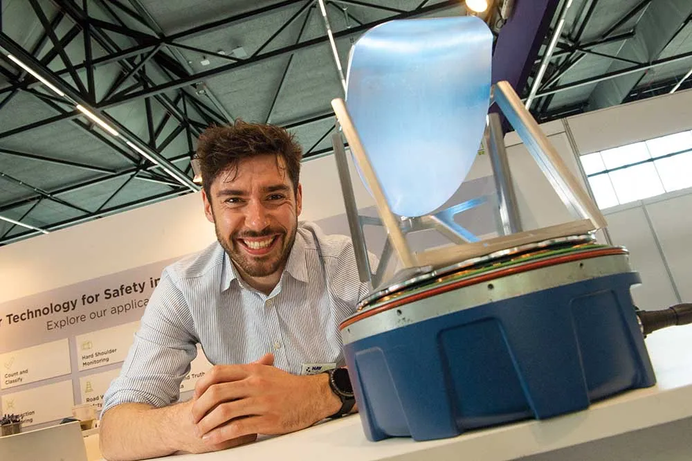
Velodyne develops Lidar sensor for AV mobility

Velodyne has released a Lidar solution which it says utilises surround-view technology to meet specifications for autonomous mobility. 
By Ben Spencer February 13, 2020 Read time: 1 min
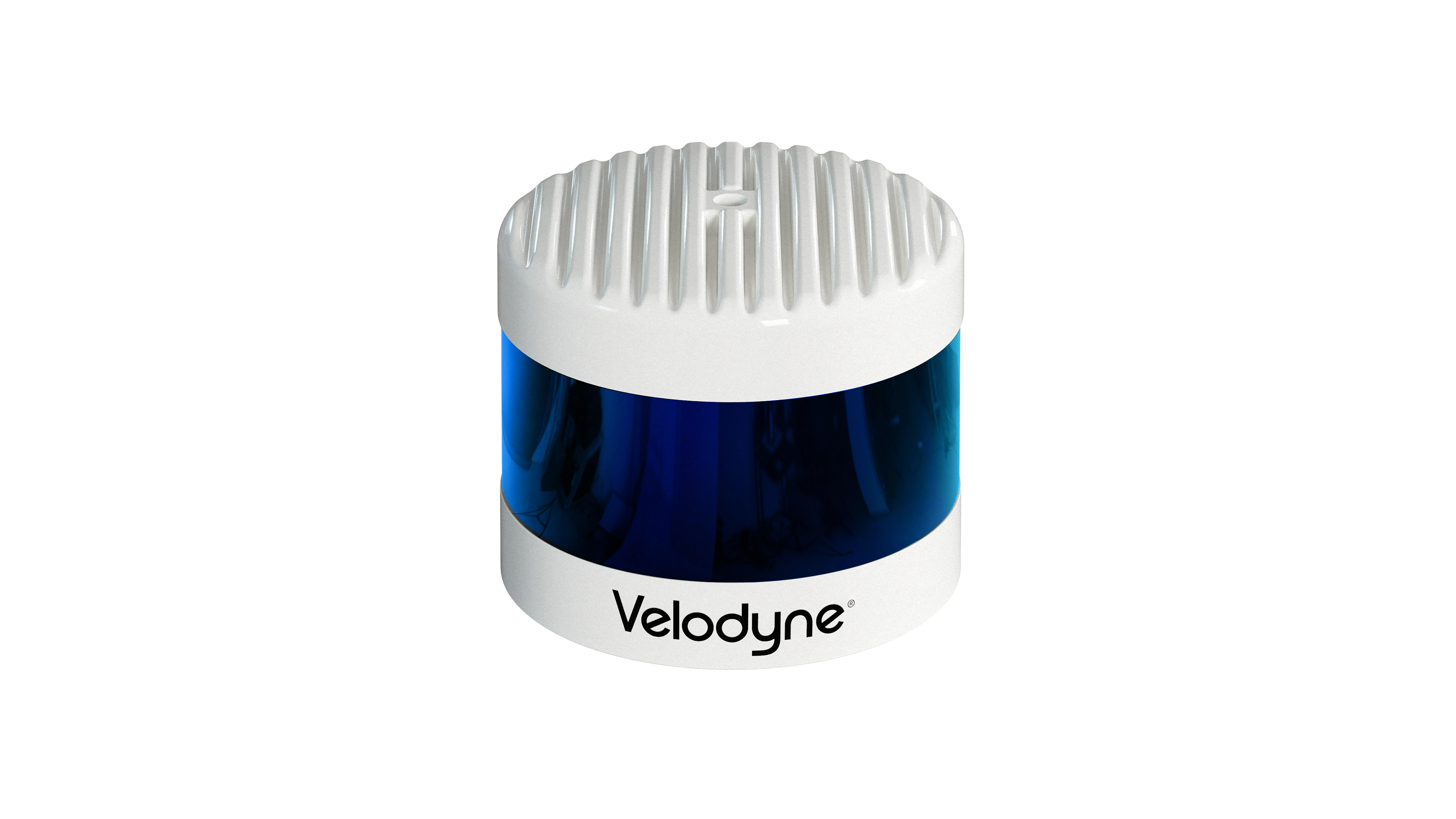
Velodyne Alpha Prime (Source: Velodyne)

Velodyne claims Alpha Prime provides a 360-degree perception and a 40-degree vertical field of view while also providing capabilities that help improve vehicle safety and enable more precise mapping. 

The solution is expected to detect dark vehicles, low reflectivity pavement and low visibility pedestrians at long distances. The sensor offers advanced negative obstacle detection perception for potholes and cracks in the road as well as high resolution and laser calibration to localise vehicles without a GPS, the company adds. 
 

For more information on companies in this article

Related Content

  • Saving the smartphone zombies from themselves
    October 15, 2020
    As roads – particularly in cities – become busier, companies are fielding a steady trickle of products to keep pedestrians safe and vehicles flowing
  • Way ahead is clear for Navtech
    March 30, 2022
    Navtech is returning to Intertraffic to highlight ClearWay, the company’s ITS solution and how it is enhancing safety on highways around the world.
  • Low-costs solutions to improve pedestrian safety
    May 8, 2015
    David Crawford welcomes low-cost safety initiatives for pedestrians in America. Some 10 people die each week in accidents on crosswalks in the US, that’s more than 10% of all pedestrian fatalities in road traffic incidents - the number of which is running at a five-year high. Ensuring crosswalks are safe is key in supporting the growing enthusiasm for walking as a travel mode. In the last decade of the 20th century, numbers walking to work in the US fell by 26%; while, as recently as 2012, Americans were e
  • Calculating the cost of stellar solutions
    August 10, 2016
    The increasing availability and accuracy of global navigation satellite system (GNSS) is opening up low-cost options in many areas as David Crawford finds out. Boosting commercialisation of European global navigation satellite system (EGNSS) technologies for ITS initially depends heavily on demonstrating competitive and cost/benefit advantages obtainable from the deployment of EGNOS (the current European Geostationary Navigation Overlay Service), and ultimately the EU’s Galileo constellation (see box). So,