Velodyne develops Lidar sensor for AV mobility

Velodyne has released a Lidar solution which it says utilises surround-view technology to meet specifications for autonomous mobility. 
By Ben Spencer February 13, 2020 Read time: 1 min
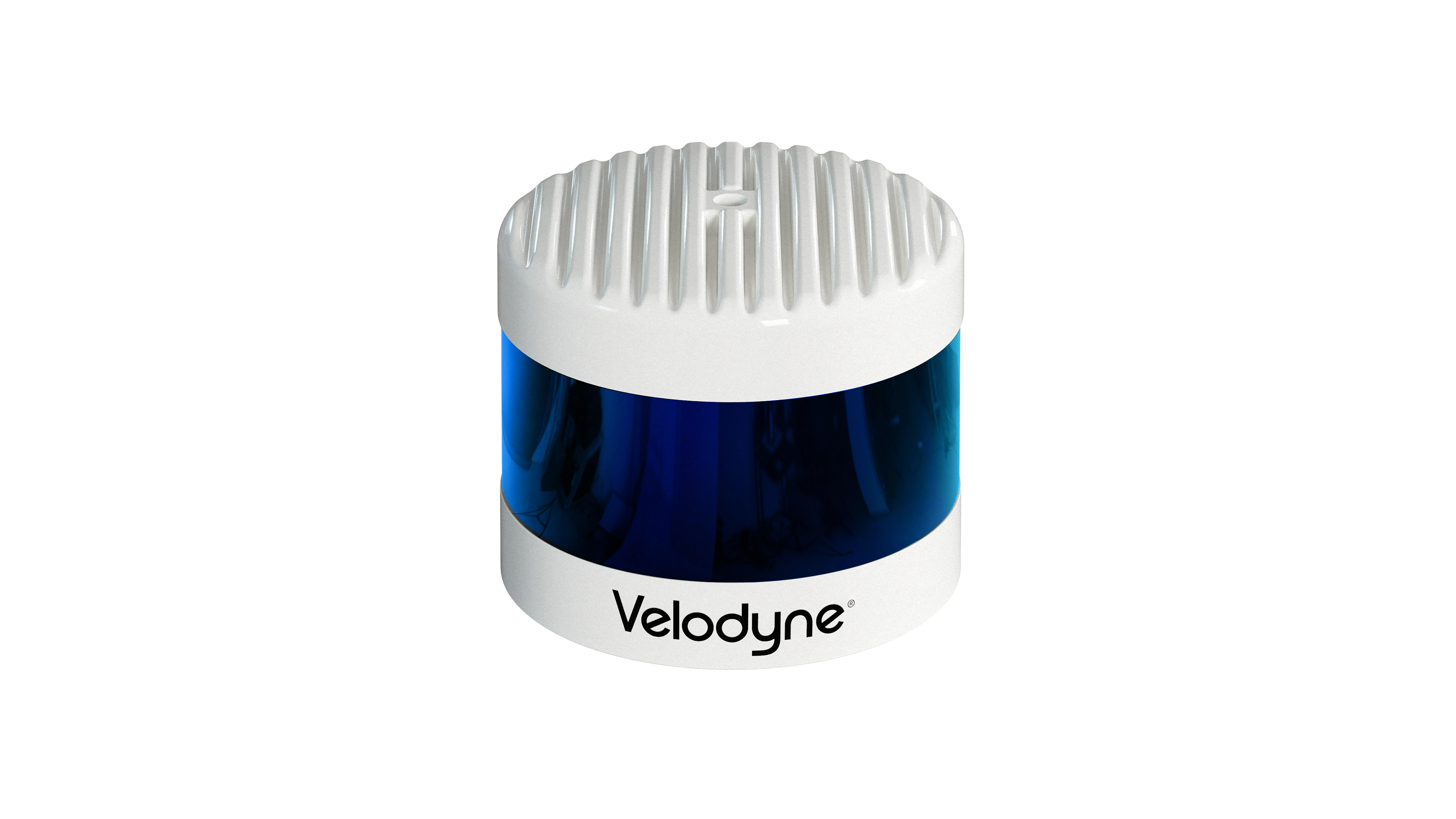
Velodyne Alpha Prime (Source: Velodyne)

Velodyne claims Alpha Prime provides a 360-degree perception and a 40-degree vertical field of view while also providing capabilities that help improve vehicle safety and enable more precise mapping. 

The solution is expected to detect dark vehicles, low reflectivity pavement and low visibility pedestrians at long distances. The sensor offers advanced negative obstacle detection perception for potholes and cracks in the road as well as high resolution and laser calibration to localise vehicles without a GPS, the company adds. 
 

For more information on companies in this article

Related Content

  • GTT bolsters solutions with GNSS
    January 7, 2021
    Opticom solutions cover transit signal priority and traffic sensing technology
  • Drivers get eyes in the back of their heads
    April 18, 2013
    Drivers of the new Nissan Note will be able to see a full 360-degrees, compared to the average human’s field of vision of around 120 degrees, thanks to Nissan's advanced engineering and sophisticated technologies. The new model, unveiled at last month's Geneva Motor Show, is the first Nissan to feature its advanced safety shield - a package of technologies that delivers a new level of driver assistance in the small car segment - along with the advanced around view monitor.
  • Vitronic’s AI-based innovation for safer mobility in the future
    April 16, 2024
    As Artificial Intelligence (AI) is transforming mobility, particularly in traffic management and road safety, Vitronic is here to present its AI-based solutions.
  • Multi-platform mapping with Robin
    May 24, 2016
    3D Laser Mapping’s new multi-platform mapping system, Robin, provides three alternative mapping options in one solution, allowing users to benefit from the ability to map areas via walking, driving or flying. Robin integrates a 12 MP camera (for drive) and 18MP (for walk and fly), two GNSS antennas, GIS grade IMU navigation system, touch screen control unit, three mounting systems, capture software, a post-processing software package and has a field of view of 330 degrees. Long-range and precision versi