Velodyne develops Lidar sensor for AV mobility

Velodyne has released a Lidar solution which it says utilises surround-view technology to meet specifications for autonomous mobility. 
By Ben Spencer February 13, 2020 Read time: 1 min
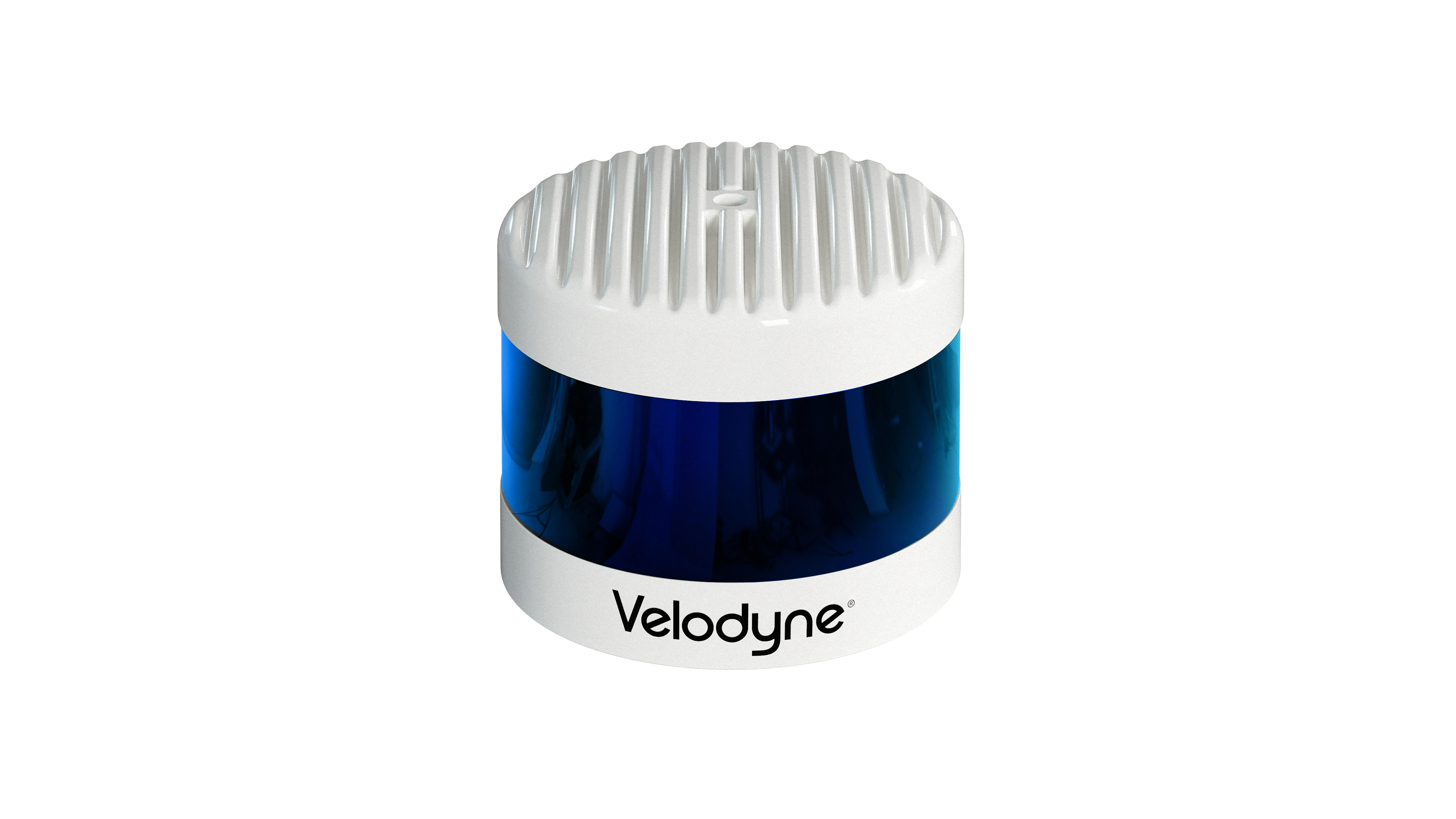
Velodyne Alpha Prime (Source: Velodyne)

Velodyne claims Alpha Prime provides a 360-degree perception and a 40-degree vertical field of view while also providing capabilities that help improve vehicle safety and enable more precise mapping. 

The solution is expected to detect dark vehicles, low reflectivity pavement and low visibility pedestrians at long distances. The sensor offers advanced negative obstacle detection perception for potholes and cracks in the road as well as high resolution and laser calibration to localise vehicles without a GPS, the company adds. 
 

Related Content

  • September 22, 2022
    ITSWC 2022: Derq wins Innovation Competition
    AI specialist impressed Congress judges with its products' focus on safety
  • February 22, 2018
    See into the VR future at 3M's stand
    We’re on the cusp of connected roads becoming a reality. So what will the world look like then? Visitors to the 3M stand at Intertraffic Amsterdam booth will be able to experience the future through two virtual reality (VR) installations. The 3M Connected Roads programme will enable visitors to immerse themselves in a VR world that will provide a glimpse into what the future of roadway infrastructure could look like, and the concepts being developed. The goal of the programme is to help facilitate the l
  • May 24, 2022
    AVs need extreme training, says research
    AVs will be safer if they are given 'one-in-a-million' collision risk scenarios to learn from
  • February 24, 2017
    BMW Group and Mobileye to use crowd sourced data for automated driving
    BMW Group and Mobileye are to collaborate on introducing Mobileye's Road Experience Management (REM) data generation technology in newly-developed BMW Group models entering the market in 2018. They aim to crowd-source real-time data using vehicles equipped with camera-based advanced driver assist system (ADAS) technology to provide next-generation high definition (HD) maps for autonomous vehicle, which will require them to identify and update changes in the environment with near real-time speed enabling