Sony releases USB3 industrial vision module

Sony Europe Imaging Sensing Solutions has launched its industrial vision global shutter complementary metal oxide semiconductor (GS CMOS) module to use the USB3.0 transmission standard. Called XCU-CG160, the solution has a 1.6MP resolution and is said to transmit data at 100 frames per second.
April 30, 2018 Read time: 1 min
Sony Europe 8784 Imaging Sensing Solutions has launched its industrial vision global shutter complementary metal oxide semiconductor (GS CMOS) module to use the USB3.0 transmission standard. Called XCU-CG160, the solution has a 1.6MP resolution and is said to transmit data at 100 frames per second.


XCU-CG160 intends to create a migration path from charge-coupled device to GS CMOS without system upgrades or a changed architecture.

The device also includes key image-processing features such as gain and defect pixel correction as well as shading correction.

Related Content

  • March 25, 2014
    Imagsa debuts Chronos’Spot stereoscopic vision system
    Imagsa Technologies, a high-tech company founded in 2006 to develop high-speed intelligent cameras, will today launch a major new camera, the Chronos’Spot. The company is a pioneer in the use of massive parallelism to analyse 270 images per second with 2048 x 1024 pixel resolution (2 megapixel). The Chronos'Spot stereoscopic vision system combines two of these smart cameras to capture and analyse a total of 1080 megapixels per second.
  • October 28, 2016
    Luminara’s wide range of cameras for traffic applications
    Lumenera offers a wide range of compact, flexible cameras specifically designed for advanced traffic systems, from off-the shelf board-level to enclosed cameras. Offering a choice of sensor, data interface and features, users can tailor the cameras to suit their needs, or they can be customised to suit design requirements.
  • May 31, 2024
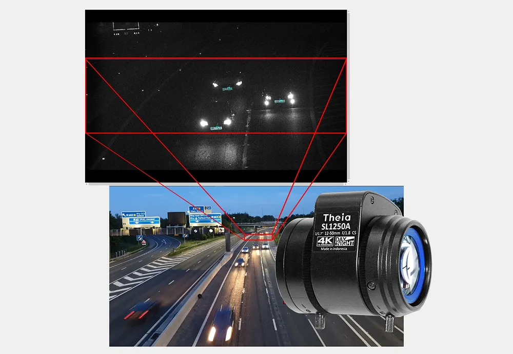
    High-resolution, compact telephotos for ITS from Theia
    All Theia’s lenses are able to identify plates at a variety of speeds and distances
  • January 18, 2012
    Inertial sensors dramatically improve GNSS for ITS applications
    Phil Harris, Thales UK, on how fused sensor data can significantly enhance GNSS-based positioning systems' performance in urban areas. Global Navigation Satellite System (GNSS)-based positioning is unique among available positioning technology due to its universal coverage and low equipment cost. By measuring the distances between an unknown position (such as a vehicle), and at least three known positions (GPS satellites), the unknown position can be calculated in three dimensions (latitude, longitude, and