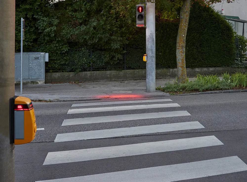
Engineering, planning and consulting services company Michael Baker International recently completed a nearly US$7-million project for the Pennsylvania Department of Transportation (PennDOT) to collect data from more than 8,600 traffic signals across the state. Over a year, the Michael Baker team, working with PennDOT’s Traffic Signal Asset Management System (TSAMS), collected nearly 20 million data fields for each of the 8,623 traffic signals analysed, which populated a centralised database to support Pen
Engineering, planning and consulting services company Michael Baker International recently completed a nearly US$7-million project for the 6111 Pennsylvania Department of Transportation (PennDOT) to collect data from more than 8,600 traffic signals across the state. Over a year, the Michael Baker team, working with PennDOT’s Traffic Signal Asset Management System (TSAMS), collected nearly 20 million data fields for each of the 8,623 traffic signals analysed, which populated a centralised database to support PennDOT’s future planning, design, maintenance and operational decision making.
With the passage of Pennsylvania Act 89 in 2013, PennDOT identified traffic signals as an area of necessary investment and established the Green Light-Go (GLG) program to manage the dedicated traffic signal funding and corresponding maintenance and operations projects
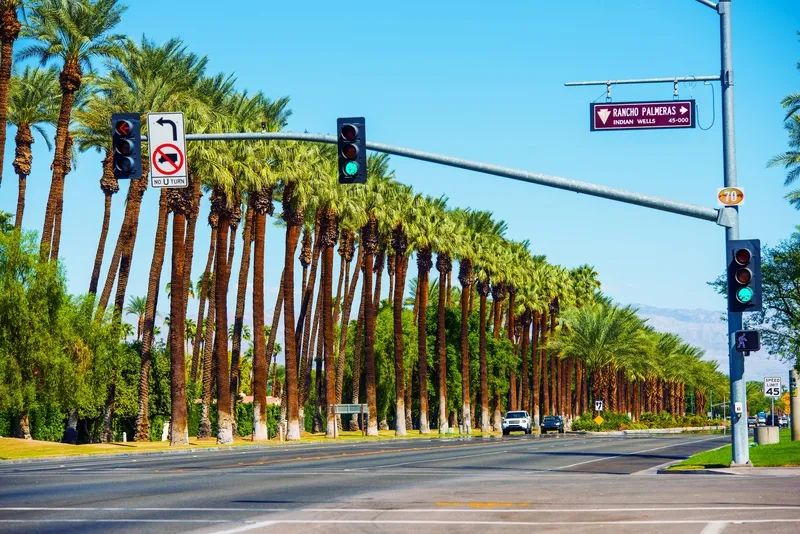
Michael Baker’s fleet of LiDAR-equipped vehicles are capable of surveying an area by measuring the distance to a target by illuminating it with two laser lights, each of which can measure up to 600,000 points per second with a total maximum measurement frequency of 1,200,000 points per second. The firm’s LiDAR equipped vans collected all visible assets to minimise traffic disruption and prevented technicians from working in traffic lanes.
Mobile LiDAR equipped vans collected data from exposed traffic signal infrastructure assets, mapping entire intersections in three-dimensional point clouds, while corresponding spherical imagery was collected using a ladybug camera.
Data from traffic signal cabinet assets was collected by field staff using a project-specific iPad mobile application (app). Electronic files of traffic signal records were transferred and attached to the database and pertinent filed paper documents were scanned to retrieve information electronically.
With the passage of Pennsylvania Act 89 in 2013, PennDOT identified traffic signals as an area of necessary investment and established the Green Light-Go (GLG) program to manage the dedicated traffic signal funding and corresponding maintenance and operations projects
Michael Baker’s fleet of LiDAR-equipped vehicles are capable of surveying an area by measuring the distance to a target by illuminating it with two laser lights, each of which can measure up to 600,000 points per second with a total maximum measurement frequency of 1,200,000 points per second. The firm’s LiDAR equipped vans collected all visible assets to minimise traffic disruption and prevented technicians from working in traffic lanes.
Mobile LiDAR equipped vans collected data from exposed traffic signal infrastructure assets, mapping entire intersections in three-dimensional point clouds, while corresponding spherical imagery was collected using a ladybug camera.
Data from traffic signal cabinet assets was collected by field staff using a project-specific iPad mobile application (app). Electronic files of traffic signal records were transferred and attached to the database and pertinent filed paper documents were scanned to retrieve information electronically.