
ISS expands cloud offerings with CitySync RaaS

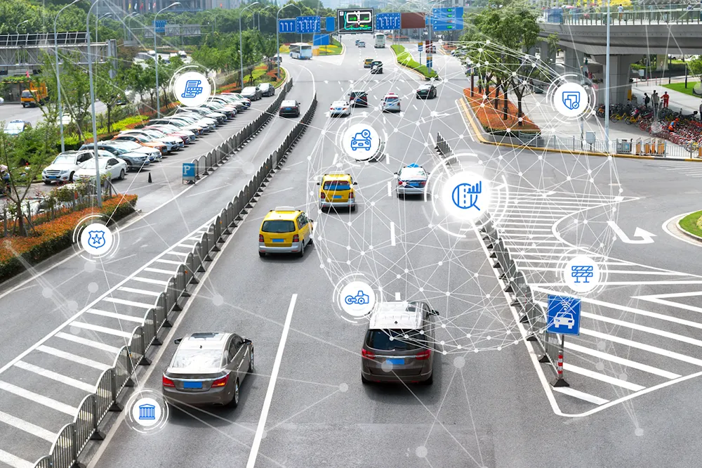
Image Sensing Systems has launched its first software-only product, CitySync Recognition as a Service (RaaS), a solution which gives any and all businesses and governments the power to use and access the state-of-the-art CitySync licence plate recognition (LPR) engine. CitySync RaaS is an annual service that provides organisations with a fast, accurate automated licence plate recognition engine. This stand-alone solution can be implemented into any size organisation or infrastructure without the need fo
June 27, 2014 Read time: 2 mins
6626 Image Sensing Systems has launched its first software-only product, 539 CitySync Recognition as a Service (RaaS), a solution which gives any and all businesses and governments the power to use and access the state-of-the-art CitySync licence plate recognition (LPR) engine.

CitySync RaaS is an annual service that provides organisations with a fast, accurate automated licence plate recognition engine. This stand-alone solution can be implemented into any size organisation or infrastructure without the need for purchasing expensive software. CitySync RaaS is delivered as a cloud-based solution as standard but can also be installed as an on-premises solution and is adaptable to the needs of any business.

“Releasing our world renowned CitySync LPR engine as a stand-alone solution, CitySync RaaS, is a true game changer,” said Kris Tufto, president and CEO of Image Sensing Systems, Inc. “Customers recognise that the backbone of any successful LPR solution is the OCR engine and CitySync RaaS allows even the most casual user to take advantage of the best, most revered LPR engine in the industry. We’ve not only expanded the availability of this technology to multiple markets, but we also reduced the cost of entry for end users – a true win-win for our customers.”

Related Content

  • July 17, 2012
    Cloud computing technology benefits GIS
    Geographic Information Systems are a relatively late adopter of cloud computing,but the benefits of host services for geospatial data and analysis are becoming clear. Jason Barnes reports Both the concept and the reality of cloud computing have been around for some time. More and more industry sectors are entrusting external service providers with the provision of their computing services via the internet. However, the Geographic Information System (GIS) industry has been slow to embrace the trend. This is
  • February 3, 2012
    Fixed or wireless communications?
    Optelecom-NKF's Coen Hooghiemstra considers the play-offs and pay-offs involved when deciding whether to go for fixed or wireless communications solutions
  • June 15, 2022
    Jenoptik measures out the future
    The speed of tech changes means Jenoptik is redrawing how it sees itself. Adam Hill catches up with Stefan Traeger and Kevin Chevis at Intertraffic Amsterdam to find out more about ‘extended reality’…
  • July 10, 2023
    Teledyne Flir brings Middle East into vision
    As urban sprawl creeps across the Middle East and Africa, congested roads aren’t far behind. Hesham Enan of Teledyne Flir explains to Adam Hill how traffic technology is helping authorities to cope