Technology company
Working with the Polytechnic University of Milano, the project aims to take advantage of previous studies to perfect and test, in a real scenario with traffic, a product that is fully marketable. It aims to enable local authorities and other transport infrastructure managers, such as road and parking operators, to understand mobility patterns and define strategies and policies to reduce traffic congestion, prioritise and promote the use of public transportation, high-occupancy and low-emission vehicles.
The data obtained will assist better knowledge of traffic, the application of discounts or penalties, for example, variable parking rates tolls; access restrictions depending on passenger numbers or vehicle type, licence plate number, etc. It will also contribute to promoting shared transportation among citizens: public transport, car-sharing, high occupancy and low emission vehicles.
Indra will work on the evolution and improvement of the image processing algorithms for face and body detection that the company started to develop in previous R&D&i projects.
The Polytechnic University of Milano will focus on developing a big data engine to detect and predict traffic situations by using and integrating data in real time from IoT sensors, social networks, different types of open data and of the vision subsystem itself developed during the project. This real-time macro big data engine will contribute valuable information to help managers in their decision-making and in validating and improving their mobility management strategies.

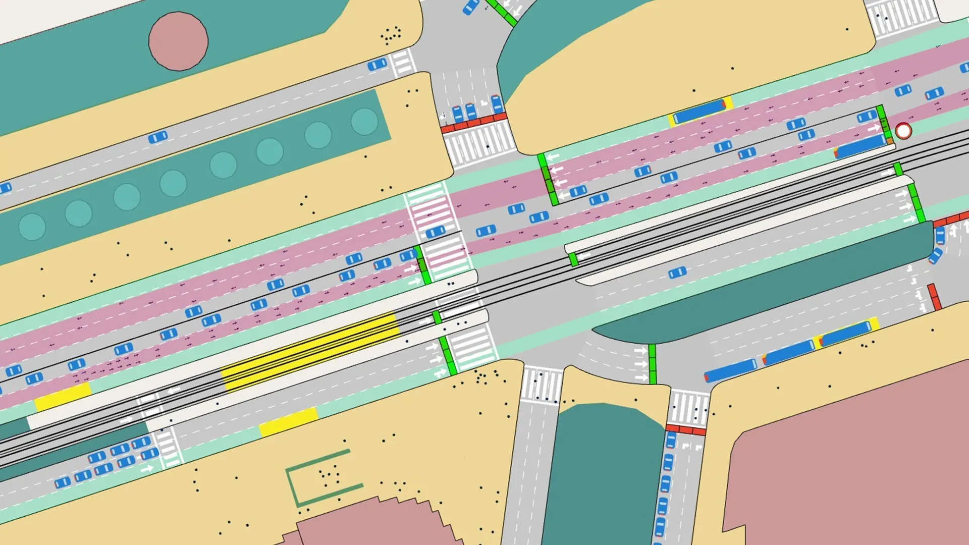
Indra project aims to develop automated vehicle occupancy identification
Technology company Indra is leading the European R&D&i project BeCamGreen, which aims to develop a solution based on computer vision and big data, to contribute to reducing traffic, that enables the automated identification of vehicle types and their number of occupants, in real time and with precision.