Esri and Mobileye offer real-time blind-spot detection data

Geographic information system specialist Esri is to collaborate with advanced driver-assistance systems software provider Mobileye in a venture aimed at improving safety for road users in urban environments. This will see Esri’s mapping, analysis and visualisation integrated with Mobileye’s Shield+ product. Shield+ will stream road safety data retrieved from city fleets into Esri’s ArcGIS platform meaning incidents of pedestrians and cyclists being detected in blindspots can be viewed on the Mobileye
November 16, 2017 Read time: 2 mins

Geographic information system specialist 50 Esri is to collaborate with advanced driver-assistance systems software provider 4279 Mobileye in a venture aimed at improving safety for road users in urban environments. This will see Esri’s mapping, analysis and visualisation integrated with Mobileye’s Shield+ product. 

Shield+ will stream road safety data retrieved from city fleets into Esri’s ArcGIS platform meaning incidents of pedestrians and cyclists being detected in blindspots can be viewed on the Mobileye Smart Mobility Dashboard. Shield+ alerts will be updated to the dashboard in real time, providing a city-wide view of pedestrian and cyclist safety.

This will allow users such as municipal bus drivers to receive alerts about imminent hazards seconds before a potential collision, and to have a better, safer awareness of the roads they travel. Mobileye director Nisso Moyal, said the direct uploading of geospatial events from Shield+ fitted to municipal vehicles will enable cities to anticipate and help prevent the next collision and managing their assets more efficiently.

As a part of this collaboration, Mobileye will give municipalities entering into new contracts with it the option to incorporate the analytics-based capability.

Related Content

  • September 15, 2014
    CCTV brings transit safety into view
    David Crawford looks at camera-based vulnerable road users protection systems.Safe and efficient operation of road-based transit depends on minimising the risks of incidents involving other vehicles or vulnerable road users such as pedestrians, cyclists and passengers boarding or alighting from buses or trams. The extent and quality of the visibility available to drivers is crucial in preventing and avoiding incidents. Conventionally, they have had to rely on fairly basic equipment - essentially the human
  • October 6, 2020
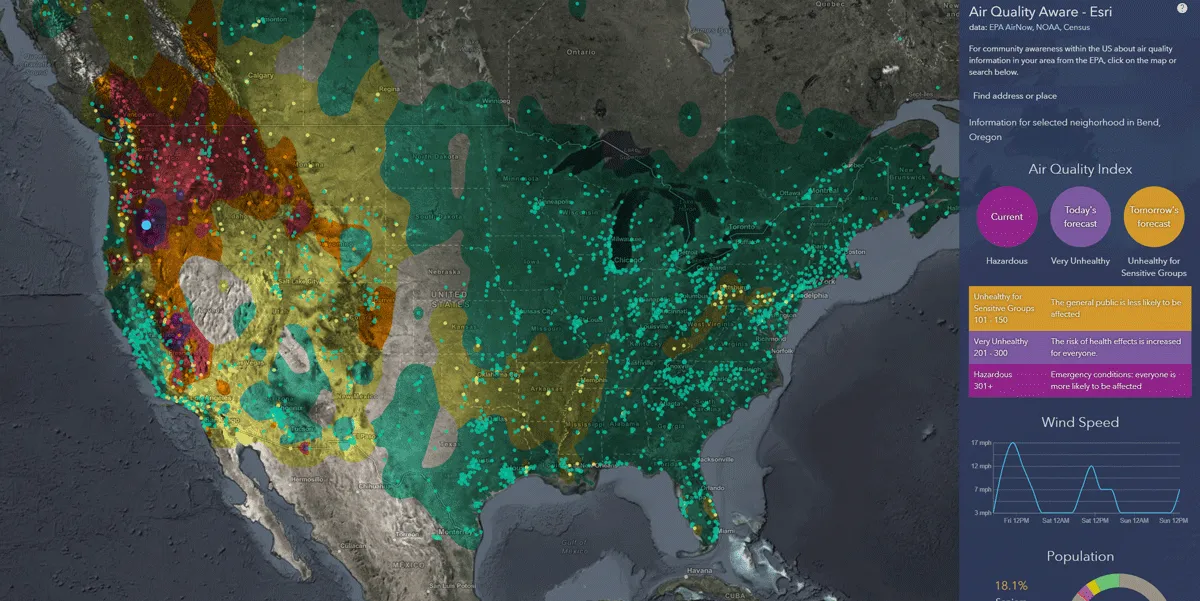
    Esri exposes US air pollution impact
    App uses data from AirNow programme, American Community Survey and NOAA wind forecast 
  • January 6, 2025
    TomTom and Esri sign GIS deal
    Location information now integrated in ArcGIS platform
  • March 18, 2016
    Transit bus collision avoidance pilot launched in Washington State
    Insurance group Munich Re, in collaboration with the Washington State Transit Insurance Pool (WSTIP), has launched a pilot program top equip transit buses with Mobileye Shield+ collision avoidance technology, installed by Rosco Vision Systems. For the pilot, 38 WSTIP transit buses have been equipped with the technology which claims to enable drivers to avoid and mitigate imminent collisions, protecting the most vulnerable and difficult to observe road users, cyclists, pedestrians and motorcyclists. Je