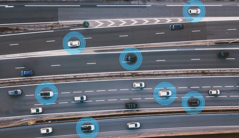
Esri and Mobileye offer real-time blind-spot detection data

Geographic information system specialist Esri is to collaborate with advanced driver-assistance systems software provider Mobileye in a venture aimed at improving safety for road users in urban environments. This will see Esri’s mapping, analysis and visualisation integrated with Mobileye’s Shield+ product. Shield+ will stream road safety data retrieved from city fleets into Esri’s ArcGIS platform meaning incidents of pedestrians and cyclists being detected in blindspots can be viewed on the Mobileye
November 16, 2017 Read time: 2 mins

Geographic information system specialist 50 Esri is to collaborate with advanced driver-assistance systems software provider 4279 Mobileye in a venture aimed at improving safety for road users in urban environments. This will see Esri’s mapping, analysis and visualisation integrated with Mobileye’s Shield+ product. 

Shield+ will stream road safety data retrieved from city fleets into Esri’s ArcGIS platform meaning incidents of pedestrians and cyclists being detected in blindspots can be viewed on the Mobileye Smart Mobility Dashboard. Shield+ alerts will be updated to the dashboard in real time, providing a city-wide view of pedestrian and cyclist safety.

This will allow users such as municipal bus drivers to receive alerts about imminent hazards seconds before a potential collision, and to have a better, safer awareness of the roads they travel. Mobileye director Nisso Moyal, said the direct uploading of geospatial events from Shield+ fitted to municipal vehicles will enable cities to anticipate and help prevent the next collision and managing their assets more efficiently.

As a part of this collaboration, Mobileye will give municipalities entering into new contracts with it the option to incorporate the analytics-based capability.

For more information on companies in this article

Related Content

  • Sensor detects pothole hazards in real time
    June 15, 2015
    An innovative ‘pothole alert’ research project could potentially save motorists billions of pounds in punctures, vehicle damage and road accidents every year, say researchers. Jaguar Land Rover is researching a new connected car technology that will allow a vehicle to identify the location and severity of potholes, broken drains and manhole covers, and then share this data in real-time via the cloud with other vehicles and with road authorities to help them prioritise repairs.
  • Inrix visualises kerb data in Portland and San Francisco
    August 21, 2024
    Cloud-based IQ Curb Analytics helps cities maximise kerbside accessibility
  • Haas Alert and Monotch go Dutch
    April 15, 2024
    Haas will deliver in-car safety messages from Monotch’s TLEX-based national platform
  • Mobilising data for the future of urban transport
    August 8, 2018
    It's not just gathering the data that's important, says Johan Herrlin - it's making sure that transport organisations share it with one another that will determine travellers' satisfaction. Data is transforming the way we move around cities, from family car journeys to the daily train commute. Gone are the days when travelling from A to B meant remembering your AA map and having to ask for directions at regular intervals. If you were trying to navigate London as a tourist a mere decade ago, it required