Esri and Mobileye offer real-time blind-spot detection data

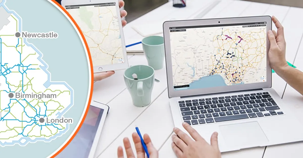
Geographic information system specialist Esri is to collaborate with advanced driver-assistance systems software provider Mobileye in a venture aimed at improving safety for road users in urban environments. This will see Esri’s mapping, analysis and visualisation integrated with Mobileye’s Shield+ product. Shield+ will stream road safety data retrieved from city fleets into Esri’s ArcGIS platform meaning incidents of pedestrians and cyclists being detected in blindspots can be viewed on the Mobileye
November 16, 2017 Read time: 2 mins

Geographic information system specialist 50 Esri is to collaborate with advanced driver-assistance systems software provider 4279 Mobileye in a venture aimed at improving safety for road users in urban environments. This will see Esri’s mapping, analysis and visualisation integrated with Mobileye’s Shield+ product. 

Shield+ will stream road safety data retrieved from city fleets into Esri’s ArcGIS platform meaning incidents of pedestrians and cyclists being detected in blindspots can be viewed on the Mobileye Smart Mobility Dashboard. Shield+ alerts will be updated to the dashboard in real time, providing a city-wide view of pedestrian and cyclist safety.

This will allow users such as municipal bus drivers to receive alerts about imminent hazards seconds before a potential collision, and to have a better, safer awareness of the roads they travel. Mobileye director Nisso Moyal, said the direct uploading of geospatial events from Shield+ fitted to municipal vehicles will enable cities to anticipate and help prevent the next collision and managing their assets more efficiently.

As a part of this collaboration, Mobileye will give municipalities entering into new contracts with it the option to incorporate the analytics-based capability.

Related Content

  • May 3, 2022
    TRL drives National Highways update
    England's roads agency to replace 20-year-old asset managment software
  • June 7, 2021
    Ground-breaking neutral V2X platform for C-ITS
    Monotch's TLEX can be used by multiple stakeholders across C-ITS ecosystem
  • December 3, 2015
    Dutch government to invest in ITS
    The Netherlands is to make a substantial investment in new forms of smart mobility, including real-time travel information and innovative forms of traffic management. Infrastructure and Environment Minister Schultz van Haegen and twelve regions are allocating more than US$74 million for intelligent transport systems (ITS) until 2018. deploy new services and gain practical experience with the latest technology, with the aim of providing drivers with personal, real-time and location-dependent information.
  • May 18, 2018
    Joining the dots: four ways to help cities make the connection
    Smoothing the path to connected transportation systems in urban areas all round the world takes a lot of planning: Cisco’s Kyle Connor lays out the four key areas on which he thinks cities should focus. Forward-thinking cities around the world are exploring innovative, new ways to leverage the Internet of Things (IoT) and related technologies to create more connected and efficient transportation systems. Through greater digitisation and connectivity, cities can optimise public transit routes, reduce