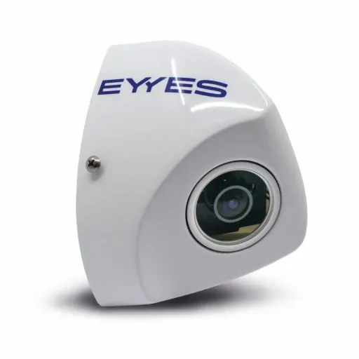
Esri and Mobileye offer real-time blind-spot detection data

Geographic information system specialist Esri is to collaborate with advanced driver-assistance systems software provider Mobileye in a venture aimed at improving safety for road users in urban environments. This will see Esri’s mapping, analysis and visualisation integrated with Mobileye’s Shield+ product. Shield+ will stream road safety data retrieved from city fleets into Esri’s ArcGIS platform meaning incidents of pedestrians and cyclists being detected in blindspots can be viewed on the Mobileye
November 16, 2017 Read time: 2 mins

Geographic information system specialist 50 Esri is to collaborate with advanced driver-assistance systems software provider 4279 Mobileye in a venture aimed at improving safety for road users in urban environments. This will see Esri’s mapping, analysis and visualisation integrated with Mobileye’s Shield+ product. 

Shield+ will stream road safety data retrieved from city fleets into Esri’s ArcGIS platform meaning incidents of pedestrians and cyclists being detected in blindspots can be viewed on the Mobileye Smart Mobility Dashboard. Shield+ alerts will be updated to the dashboard in real time, providing a city-wide view of pedestrian and cyclist safety.

This will allow users such as municipal bus drivers to receive alerts about imminent hazards seconds before a potential collision, and to have a better, safer awareness of the roads they travel. Mobileye director Nisso Moyal, said the direct uploading of geospatial events from Shield+ fitted to municipal vehicles will enable cities to anticipate and help prevent the next collision and managing their assets more efficiently.

As a part of this collaboration, Mobileye will give municipalities entering into new contracts with it the option to incorporate the analytics-based capability.

For more information on companies in this article

Related Content

  • Be-Mobile displays Flowcheck car data application
    March 21, 2018
    Be-Mobile is using Intertraffic to invite visitors to learn more about its range of innovations including a floating car data application. Called Flowcheck, the product, is designed with the intention of enabling users to uncover bottlenecks in their areas and receive insights into city accessibility, the location of where traffic is cutting through residential areas and where it slows down. Additionally, the company’s connected intelligent transport systems platform aims to provide drivers with
  • Receiving real time passenger information in Finland
    February 3, 2012
    David Crawford sees lively prospects for Finnish innovation
  • Flexibility, interoperability is key to future traffic management
    February 3, 2012
    Jon Taylor of Faber Maunsell and Tabatha Bailey of Transport for London describe how an unusual mix of traffic practitioners, researchers and industry are working together to build new tools for the future. As we face higher expectations for managing congestion from both citizens and politicians, and as more and more data is becoming available from new sources, our traffic management challenge is changing.
  • Brigade into AI action on CarEye safety
    September 7, 2022
    AI system warns vehicle drivers of potential collisions with vulnerable road users