Esri and Mobileye offer real-time blind-spot detection data

Geographic information system specialist Esri is to collaborate with advanced driver-assistance systems software provider Mobileye in a venture aimed at improving safety for road users in urban environments. This will see Esri’s mapping, analysis and visualisation integrated with Mobileye’s Shield+ product. Shield+ will stream road safety data retrieved from city fleets into Esri’s ArcGIS platform meaning incidents of pedestrians and cyclists being detected in blindspots can be viewed on the Mobileye
November 16, 2017 Read time: 2 mins

Geographic information system specialist 50 Esri is to collaborate with advanced driver-assistance systems software provider 4279 Mobileye in a venture aimed at improving safety for road users in urban environments. This will see Esri’s mapping, analysis and visualisation integrated with Mobileye’s Shield+ product. 

Shield+ will stream road safety data retrieved from city fleets into Esri’s ArcGIS platform meaning incidents of pedestrians and cyclists being detected in blindspots can be viewed on the Mobileye Smart Mobility Dashboard. Shield+ alerts will be updated to the dashboard in real time, providing a city-wide view of pedestrian and cyclist safety.

This will allow users such as municipal bus drivers to receive alerts about imminent hazards seconds before a potential collision, and to have a better, safer awareness of the roads they travel. Mobileye director Nisso Moyal, said the direct uploading of geospatial events from Shield+ fitted to municipal vehicles will enable cities to anticipate and help prevent the next collision and managing their assets more efficiently.

As a part of this collaboration, Mobileye will give municipalities entering into new contracts with it the option to incorporate the analytics-based capability.

Related Content

  • September 7, 2020
    Esri highlights benefits of a state-wide data-rich environment
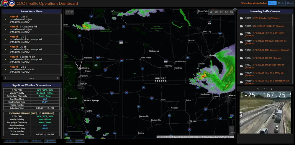
    Walk into virtually any traffic operations centre and you will be confronted by people flipping between different screens and CCTV monitors, and individually viewing a large number of stand-alone applications to try to understand a comprehensive picture of their live traffic, weather, incident, and snow conditions from these disparate sources.
  • February 2, 2012
    Growing use of video monitoring in traffic management
    The county-wide expansion of CCTV coverage in Florida Department of Transportation's District Four is detailed by Citilog's Eric Toffin
  • July 17, 2012
    Real time active traffic management improves travel times
    Traffic management centres (TMC) have traditionally served to provide surveillance and responses to traffic incidents and recurring and non-recurring changes in road networks. Typically, a TMC collected field data from the roadway and transit infrastructure and provided the integration necessary for operators to see what was happening and then coordinate a response. Standard operating procedures (SOPs) guided operators on how to respond to a given situation. It eventually became impractical for TMC operat
  • October 8, 2015
    Esri software powers Lithuania project
    The government of Lithuania has used Esri’s software to create a website – which went live this week - covering all of its transport network rather than simply one urban area. “It’s a multimodal journey planner for the whole country,” explains Terry C. Bills, Global Transportation Industry Manager at Esri. “So it’s a question of stitching together city systems with inter-city ones and pulling them together in a seamless way.”