Esri and Mobileye offer real-time blind-spot detection data

Geographic information system specialist Esri is to collaborate with advanced driver-assistance systems software provider Mobileye in a venture aimed at improving safety for road users in urban environments. This will see Esri’s mapping, analysis and visualisation integrated with Mobileye’s Shield+ product. Shield+ will stream road safety data retrieved from city fleets into Esri’s ArcGIS platform meaning incidents of pedestrians and cyclists being detected in blindspots can be viewed on the Mobileye
November 16, 2017 Read time: 2 mins

Geographic information system specialist 50 Esri is to collaborate with advanced driver-assistance systems software provider 4279 Mobileye in a venture aimed at improving safety for road users in urban environments. This will see Esri’s mapping, analysis and visualisation integrated with Mobileye’s Shield+ product. 

Shield+ will stream road safety data retrieved from city fleets into Esri’s ArcGIS platform meaning incidents of pedestrians and cyclists being detected in blindspots can be viewed on the Mobileye Smart Mobility Dashboard. Shield+ alerts will be updated to the dashboard in real time, providing a city-wide view of pedestrian and cyclist safety.

This will allow users such as municipal bus drivers to receive alerts about imminent hazards seconds before a potential collision, and to have a better, safer awareness of the roads they travel. Mobileye director Nisso Moyal, said the direct uploading of geospatial events from Shield+ fitted to municipal vehicles will enable cities to anticipate and help prevent the next collision and managing their assets more efficiently.

As a part of this collaboration, Mobileye will give municipalities entering into new contracts with it the option to incorporate the analytics-based capability.

For more information on companies in this article

Related Content

  • The importance of going with the flow
    April 6, 2018
    Ensuring worker safety and up-to-date driver information is crucial to ensure that roadworks are not a source of danger and delay. Andrew Williams looks at a scheme on the A14 in Cambridgeshire, UK. In recent years, portable workzone ITS solutions have emerged as important tools in the management of major roadworks and system upgrade projects - and are viewed as an increasingly vital means of ensuring any ongoing traffic flow disruption is kept to a minimum. The technology forms a central component of an
  • Real-time winter visibility from Esri
    October 8, 2020
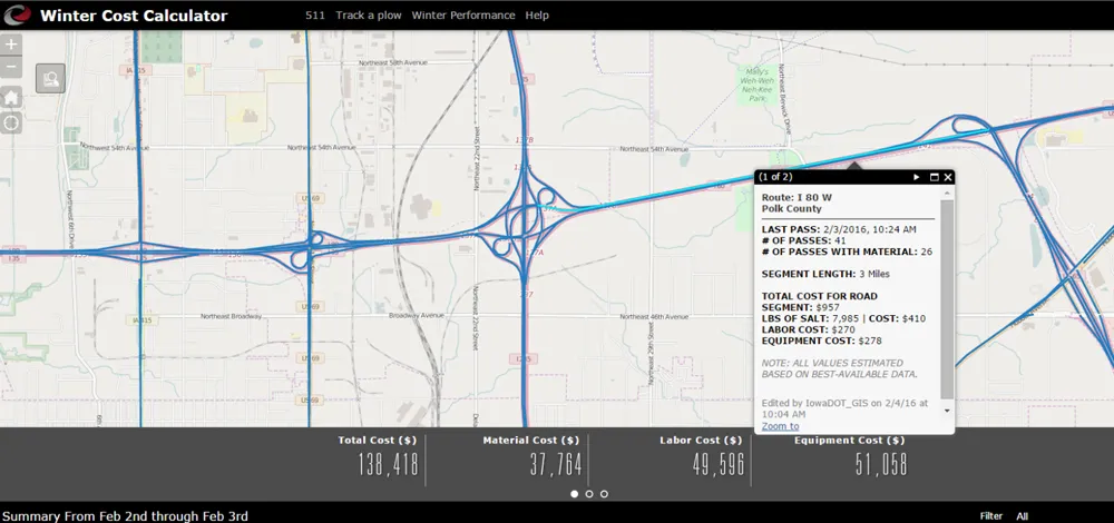
    Keeping the roadways clear during the winter months has become smarter and more transparent at the Iowa Department of Transportation.
  • Siemens provides technology for Las Vegas connected vehicle pilot
    January 8, 2018
    To combat the rise in 55 pedestrian fatalities to 74 in Las Vegas from December 2016, Siemens, Brandmotion and Commsignia will provide a turnkey Vehicle-to-infrastructure (V2I) and Vehicle-to-Vehicle solution along Casino Center Boulevard between Bonneville and Clark Avenues. It will become one of the initial corridors within the City’s connected vehicle technology pilot with a focus on pedestrian safety and corridor notifications. The technology includes roadside and vehicle infrastructure, innovative
  • Glasgow’s new Operations Centre has a key role in city’s future
    June 6, 2014
    David Crawford investigates a control centre with a future. Destined to play a central role in keeping the city and its transport running smoothly during the 2014 Commonwealth Games in July, the new Glasgow Operations Centre in Scotland’s largest urban centre formally went live earlier this year. The aim was to dry run its far-reaching integration of previously distinct core systems and familiarise the public with the initial phase of what will be a long-term post-event legacy. The centre brings together, i