Enel X and Here help Italy track virus containment

Enel X and Here Technologies are launching the City Analytics – Mobility Map solution for Italian government agencies to analyse the impact of Covid-19 containment measures.
By David Arminas April 21, 2020 Read time: 2 mins
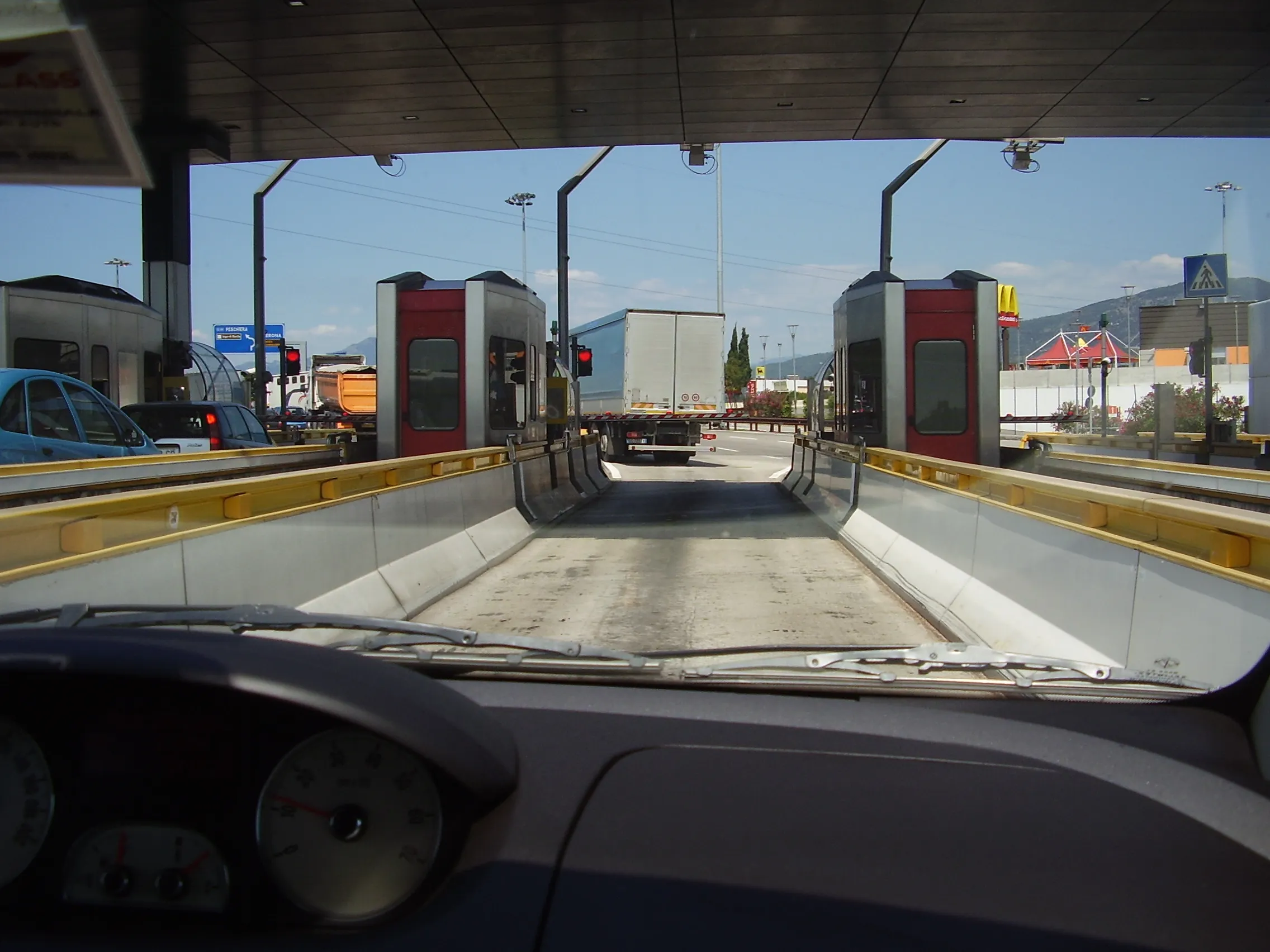
Comings and goings on Italy's roads: Enel X and Here have launched City Analytics – Mobility Map to help track Covid-19 containment measures (© Mike Woof)

Enel X, the global business line of the Enel Group, and Here, a location data and digital mapping services provider, said that the solution estimates variations in the public’s movements and kilometres travelled throughout the country.

The solution is an addition to the urban planning City Analytics suite created by Enel X for government agencies.
 
It displays anonymised and aggregated location data from connected vehicles’ sensors, navigation systems, mobile applications and government agencies.

The data processing generates four key indicators. One is the daily percentage change in the number of trips in an area, compared to a weighted average from January 2020 with aggregated regional, provincial and municipal views.

Another is the daily percentage variation in total of kilometres travelled. This is compared to a weighted average from January 2020, also with aggregated regional, provincial and municipal views.

A third key indicator is the proportion of incoming and outgoing daily trips according to the origin or the destination per region, province and municipality.

Lastly, it looks at the proportion of incoming and outgoing weekly trips according to the origin or the destination per region, province and municipality.

“Thanks to the collaboration with Here Technologies we have provided the country with an effective solution for evaluating developments in mobility flows across the territory, which can be used to plan the recovery phase,” said Francesco Venturini, head of Enel X.
 
“Together with Enel X, we hope to help the country contain and control the spread of the coronavirus while protecting the privacy of Italians,” said Edzard Overbeek, Here chief executive.
 
Government bodies and the Civil Protection Department can access the data on the Enel X YoUrban portal for free until May 31.

The available information can be used to identify areas that need more support in the implementation of these measures and analyse the gradual return to normalcy in a data-driven way, once the pandemic is over.
 
The companies said that the public will be able to access the data about daily mobility flows. They can do this through the dashboard on the Enel X website and "actively support local governments during this challenging period for Italy".

For more information on companies in this article

Related Content

  • Kimley-Horn embraces crowd-sourced travel information at ITS America
    June 7, 2018
    Kimley-Horn is displaying a new travel time data collection platform at ITS America in Detroit, showing how crowd-sourced information can fill the gaps on roadway corridors that have little or no communications infrastructure to support remote monitoring. The cloud-based software, called Traction, provides data and analytics for user-defined routes, crowd-sourced travel times and high-level system indicators. The User Trip Module records vehicle travel times in second-by-second intervals - collecting speed,
  • Asking drivers what information they need: radical but effective
    March 19, 2014
    When Texas A&M Transportation Institute was asked to devise a temporary traveller information system for work zones, it started by asking drivers what they need. Robert Brydia explains the thinking, implementation and results. US Interstate 35 (I-35) runs roughly north–south originating in Laredo, Texas and ends 1,500 miles away in Duluth, Minnesota having passed through Oklahoma, Kansas, Missouri and Iowa. Within Texas the I-35 splits into I-35E and I-35W passing through Dallas and Fort Worth respectiv
  • Uber files LADoT lawsuit over Jump data
    April 1, 2020
    Uber, owner of the Jump bike-share brand, has filed a lawsuit against the Los Angeles Department of Transportation (LADoT) to contest what it calls the unlawful implementation of the Mobility Data Specification (MDS).
  • App informs drivers of delays during Long Beach bridge replacement
    June 6, 2014
    David Crawford previews a work zone travel breakthrough. In February 2014, the Port of Long Beach in California launched what it claims is a groundbreaking construction zone navigation aid - LB Bridge mobile app. The app is designed to help drivers during the Gerald Desmond Bridge replacement programme by keeping them up to date on activity and the ensuing traffic diversions when construction starts in summer 2014. The unusually content-rich app is designed to convey current project news (enlivened by phot