Enel X and Here help Italy track virus containment

Enel X and Here Technologies are launching the City Analytics – Mobility Map solution for Italian government agencies to analyse the impact of Covid-19 containment measures.
By David Arminas April 21, 2020 Read time: 2 mins
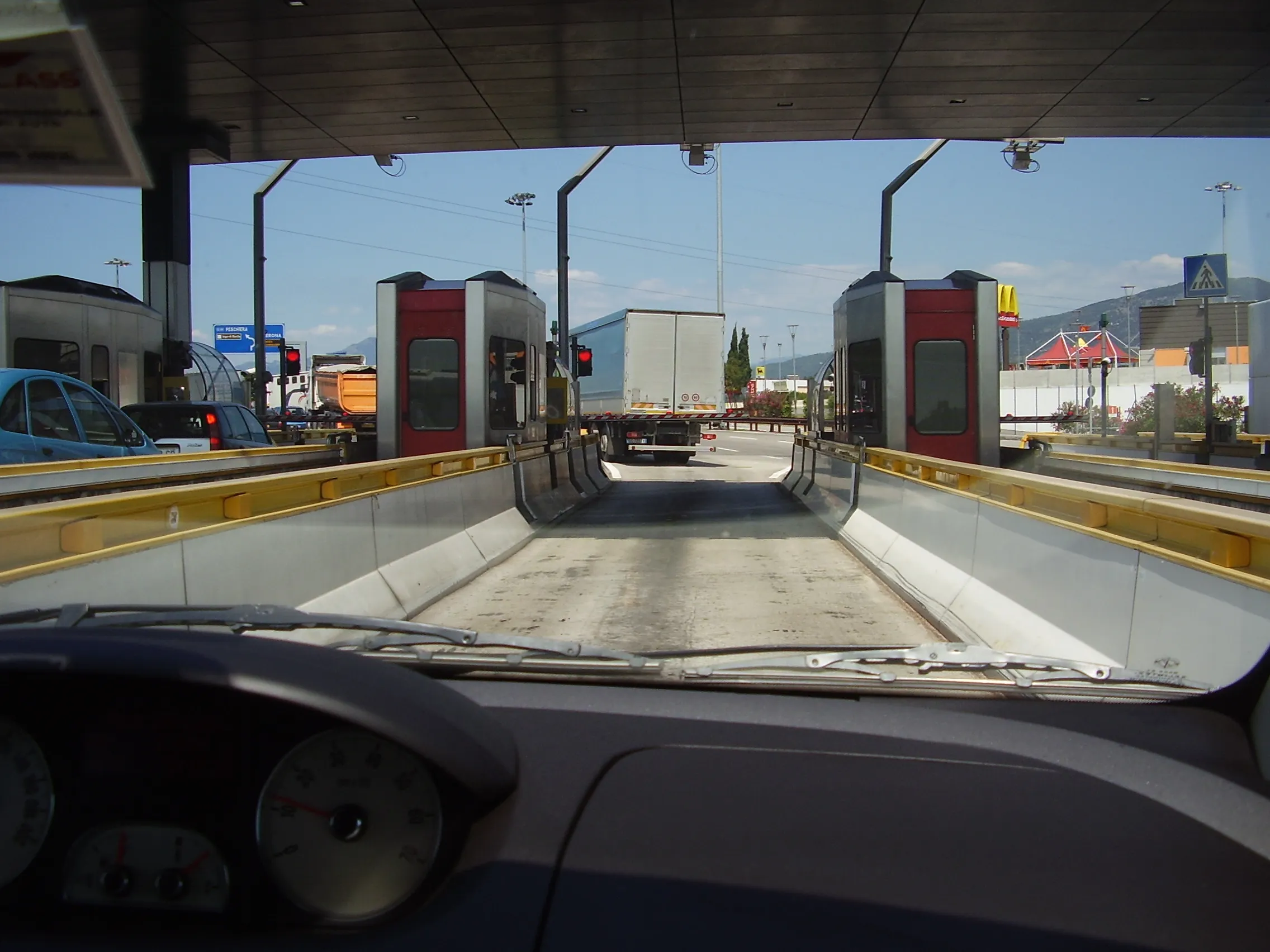
Comings and goings on Italy's roads: Enel X and Here have launched City Analytics – Mobility Map to help track Covid-19 containment measures (© Mike Woof)

Enel X, the global business line of the Enel Group, and Here, a location data and digital mapping services provider, said that the solution estimates variations in the public’s movements and kilometres travelled throughout the country.

The solution is an addition to the urban planning City Analytics suite created by Enel X for government agencies.
 
It displays anonymised and aggregated location data from connected vehicles’ sensors, navigation systems, mobile applications and government agencies.

The data processing generates four key indicators. One is the daily percentage change in the number of trips in an area, compared to a weighted average from January 2020 with aggregated regional, provincial and municipal views.

Another is the daily percentage variation in total of kilometres travelled. This is compared to a weighted average from January 2020, also with aggregated regional, provincial and municipal views.

A third key indicator is the proportion of incoming and outgoing daily trips according to the origin or the destination per region, province and municipality.

Lastly, it looks at the proportion of incoming and outgoing weekly trips according to the origin or the destination per region, province and municipality.

“Thanks to the collaboration with Here Technologies we have provided the country with an effective solution for evaluating developments in mobility flows across the territory, which can be used to plan the recovery phase,” said Francesco Venturini, head of Enel X.
 
“Together with Enel X, we hope to help the country contain and control the spread of the coronavirus while protecting the privacy of Italians,” said Edzard Overbeek, Here chief executive.
 
Government bodies and the Civil Protection Department can access the data on the Enel X YoUrban portal for free until May 31.

The available information can be used to identify areas that need more support in the implementation of these measures and analyse the gradual return to normalcy in a data-driven way, once the pandemic is over.
 
The companies said that the public will be able to access the data about daily mobility flows. They can do this through the dashboard on the Enel X website and "actively support local governments during this challenging period for Italy".

For more information on companies in this article

Related Content

  • Here to lead vehicle hazard warning pilot in Finland
    July 1, 2015
    Mapping and navigation specialist Here has been selected by Finnish traffic agencies Finnish Transport Agency (FTA) and Trafi, the Finnish Transport Safety Agency to lead a pilot project to enable vehicles to communicate safety hazards to others on the road. Here will also work with traffic information management service company Infotripla in implementing the project, which will be the first to implement a road hazard warning messaging system as described in the Intelligent Transportation Systems (ITS)
  • Smoothing out city freight movements
    May 28, 2014
    David Crawford welcomes a national first. Urban freight movements, while commercially and socially vital, are a growing logistical headache for planners and people alike. Figures from France’s Lyon Laboratory of Transport Economics indicate that goods transport in major urban areas accounts for: 20% of traffic; 35% of CO2 emissions made by all urban trips; and 50% of the diesel used; while final km delivery runs account for 20% of the total cost of the transport chain.
  • Phoenix rises to the Smart City challenge
    December 10, 2015
    Andrew Bardin Williams looks at the City of Phoenix where voters backed a $30bn plan to revamp its transportation network to cultivate a more connected community. According to a Land Use Institute study, half of all Americans and even more millennials (63%) would like to live in a place where they do not need to use a car very often. The City of Phoenix is putting in place plans to revamp its urban development and transportation policies to meet these changing quality of life perceptions.
  • Real time passenger information with live transit updates
    October 10, 2012
    Canada’s Regional Municipality of York (YRT/Viva) has partnered with Google and INIT, supplier of ITS and fare collection systems, to offer bus passengers real-time trip plans through Google maps. The service, Google Live Transit Updates, tracks YRT buses using INIT’s GPS-based navigation system and provides passengers with the exact time a bus will depart from their stop. YRT/Viva is the first transit agency in Canada to offer real-time trip planning on Google with up-to-the-minute next bus departure infor