Enel X and Here help Italy track virus containment

Enel X and Here Technologies are launching the City Analytics – Mobility Map solution for Italian government agencies to analyse the impact of Covid-19 containment measures.
By David Arminas April 21, 2020 Read time: 2 mins
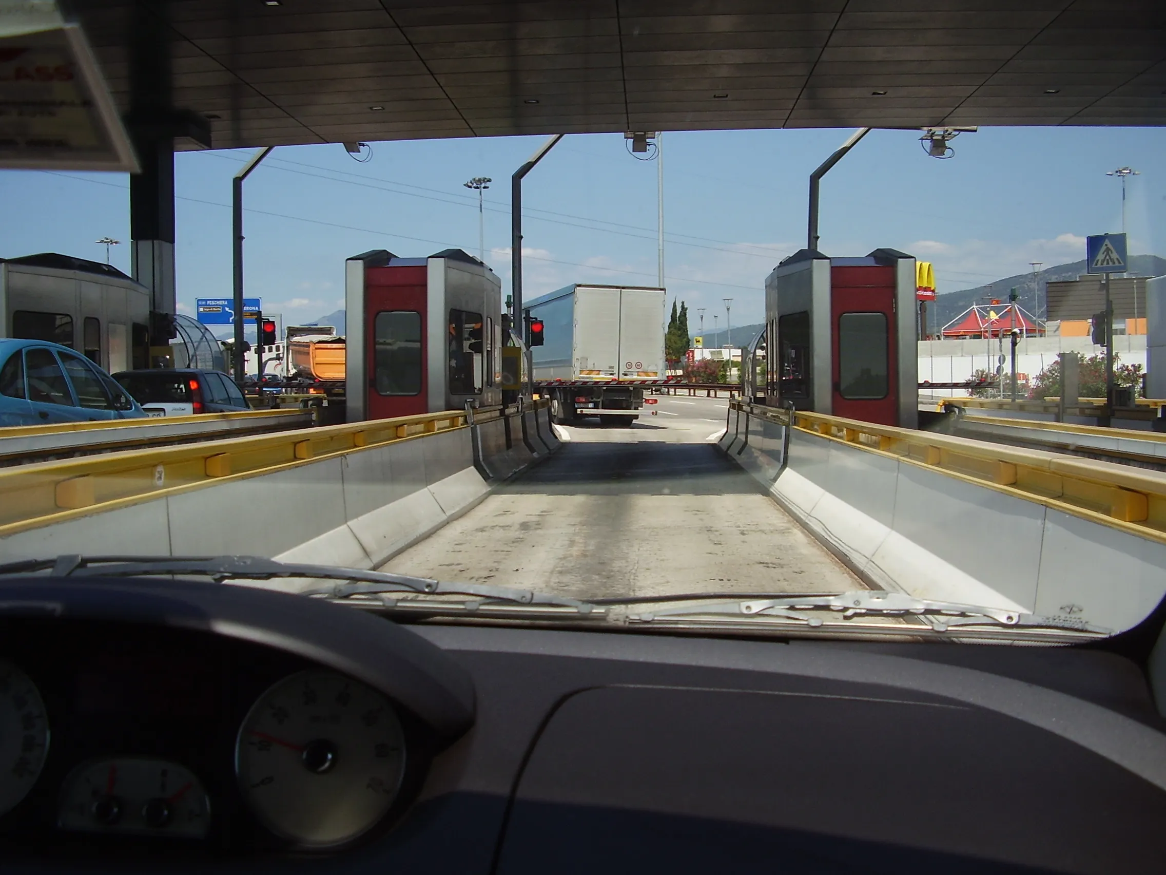
Comings and goings on Italy's roads: Enel X and Here have launched City Analytics – Mobility Map to help track Covid-19 containment measures (© Mike Woof)

Enel X, the global business line of the Enel Group, and Here, a location data and digital mapping services provider, said that the solution estimates variations in the public’s movements and kilometres travelled throughout the country.

The solution is an addition to the urban planning City Analytics suite created by Enel X for government agencies.
 
It displays anonymised and aggregated location data from connected vehicles’ sensors, navigation systems, mobile applications and government agencies.

The data processing generates four key indicators. One is the daily percentage change in the number of trips in an area, compared to a weighted average from January 2020 with aggregated regional, provincial and municipal views.

Another is the daily percentage variation in total of kilometres travelled. This is compared to a weighted average from January 2020, also with aggregated regional, provincial and municipal views.

A third key indicator is the proportion of incoming and outgoing daily trips according to the origin or the destination per region, province and municipality.

Lastly, it looks at the proportion of incoming and outgoing weekly trips according to the origin or the destination per region, province and municipality.

“Thanks to the collaboration with Here Technologies we have provided the country with an effective solution for evaluating developments in mobility flows across the territory, which can be used to plan the recovery phase,” said Francesco Venturini, head of Enel X.
 
“Together with Enel X, we hope to help the country contain and control the spread of the coronavirus while protecting the privacy of Italians,” said Edzard Overbeek, Here chief executive.
 
Government bodies and the Civil Protection Department can access the data on the Enel X YoUrban portal for free until May 31.

The available information can be used to identify areas that need more support in the implementation of these measures and analyse the gradual return to normalcy in a data-driven way, once the pandemic is over.
 
The companies said that the public will be able to access the data about daily mobility flows. They can do this through the dashboard on the Enel X website and "actively support local governments during this challenging period for Italy".

For more information on companies in this article

Related Content

  • Here teams up with Iowa DOT on autonomous driving
    October 11, 2016
    Here is partnering with the Iowa DOT to develop automated vehicle and freight movement technologies, in a multi-phased project which lays the foundation for the future of transportation and mobility in Iowa. By leveraging advanced technology from Here and starting with the I-380 corridor, Iowa DOT aims to create a more efficient and safe road network and generate more economic development opportunities. Here Open Location Platform, Here HD Live Map, Here Real-Time Traffic and Here Predictive Traffic s
  • Reducing transport energy use with real time travel information
    January 23, 2012
    The In-Time project is looking at the effect that multi-modal real-time traveller information services can have of reducing transport's energy consumption levels. By Martin Böhm, AustriaTech GmbH. Around the world, significant research and development effort is currently directed towards reducing energy consumption by addressing those areas where the biggest savings can be expected. European studies have shown that the transport sector has the potential to reduce its energy consumption by up to 26 per cent
  • IBM Big Data helps Dublin improve transport operations
    May 17, 2013
    The city of Dublin is using IBM Big Data identify and solve the root causes of traffic congestion in its public transport network throughout the city, which means improved traffic flow and better mobility for commuters. Integrating data from a citywide network of sensors with geospatial data means that city officials are able to better monitor and manage traffic in real time. To keep the city moving, the council’s traffic control centre works together with local transport operators to manage an extensive ne
  • Joining the dots: four ways to help cities make the connection
    May 18, 2018
    Smoothing the path to connected transportation systems in urban areas all round the world takes a lot of planning: Cisco’s Kyle Connor lays out the four key areas on which he thinks cities should focus. Forward-thinking cities around the world are exploring innovative, new ways to leverage the Internet of Things (IoT) and related technologies to create more connected and efficient transportation systems. Through greater digitisation and connectivity, cities can optimise public transit routes, reduce