Enel X and Here help Italy track virus containment

Enel X and Here Technologies are launching the City Analytics – Mobility Map solution for Italian government agencies to analyse the impact of Covid-19 containment measures.
By David Arminas April 21, 2020 Read time: 2 mins
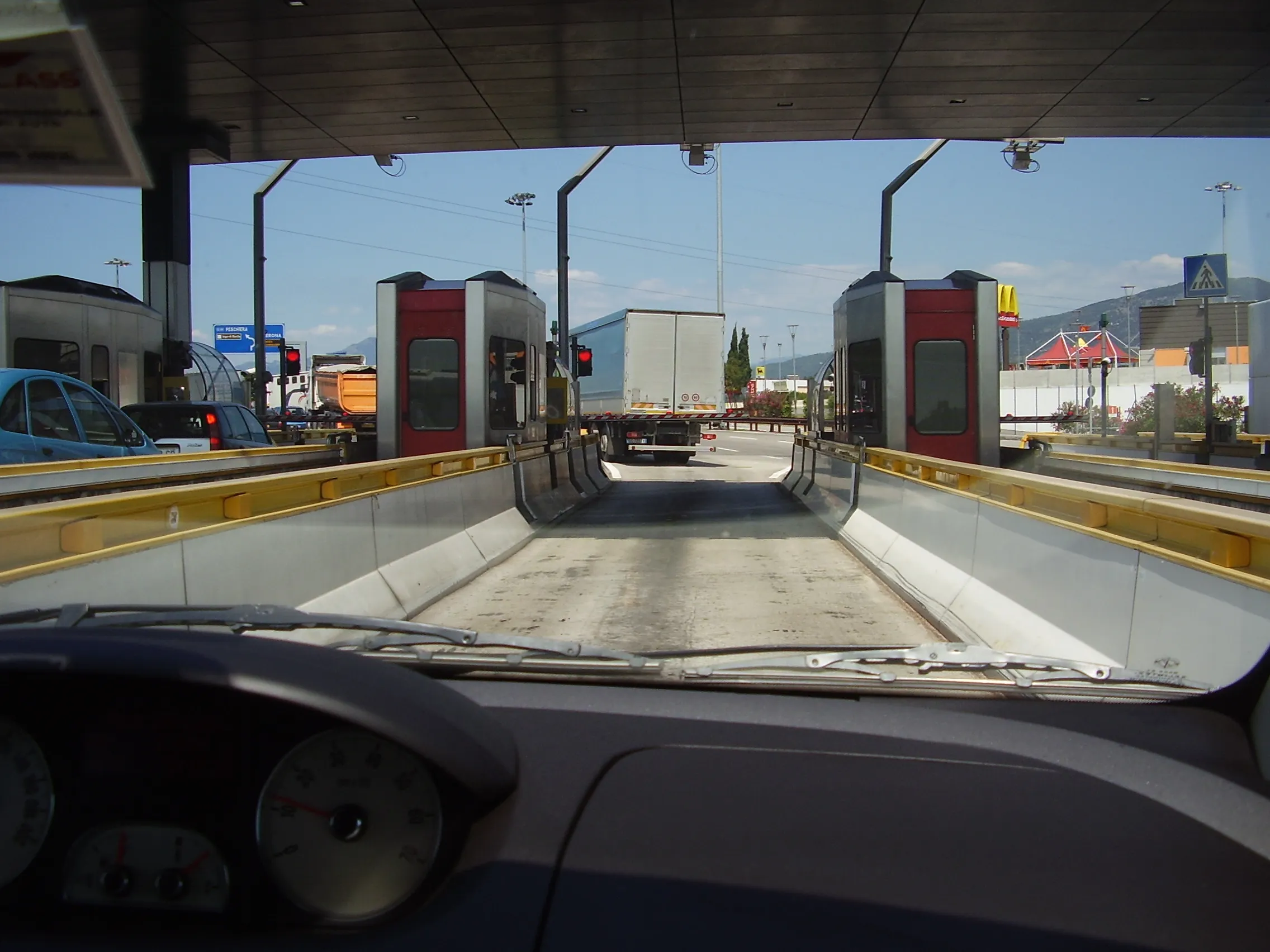
Comings and goings on Italy's roads: Enel X and Here have launched City Analytics – Mobility Map to help track Covid-19 containment measures (© Mike Woof)

Enel X, the global business line of the Enel Group, and Here, a location data and digital mapping services provider, said that the solution estimates variations in the public’s movements and kilometres travelled throughout the country.

The solution is an addition to the urban planning City Analytics suite created by Enel X for government agencies.
 
It displays anonymised and aggregated location data from connected vehicles’ sensors, navigation systems, mobile applications and government agencies.

The data processing generates four key indicators. One is the daily percentage change in the number of trips in an area, compared to a weighted average from January 2020 with aggregated regional, provincial and municipal views.

Another is the daily percentage variation in total of kilometres travelled. This is compared to a weighted average from January 2020, also with aggregated regional, provincial and municipal views.

A third key indicator is the proportion of incoming and outgoing daily trips according to the origin or the destination per region, province and municipality.

Lastly, it looks at the proportion of incoming and outgoing weekly trips according to the origin or the destination per region, province and municipality.

“Thanks to the collaboration with Here Technologies we have provided the country with an effective solution for evaluating developments in mobility flows across the territory, which can be used to plan the recovery phase,” said Francesco Venturini, head of Enel X.
 
“Together with Enel X, we hope to help the country contain and control the spread of the coronavirus while protecting the privacy of Italians,” said Edzard Overbeek, Here chief executive.
 
Government bodies and the Civil Protection Department can access the data on the Enel X YoUrban portal for free until May 31.

The available information can be used to identify areas that need more support in the implementation of these measures and analyse the gradual return to normalcy in a data-driven way, once the pandemic is over.
 
The companies said that the public will be able to access the data about daily mobility flows. They can do this through the dashboard on the Enel X website and "actively support local governments during this challenging period for Italy".

Related Content

  • August 18, 2015
    Inrix aids authorities in dealing with data
    New traffic data products and services have been launched to aid transport and urban planners and business with detailed intelligence on journey patterns, reports Jon Masters. Manual travel surveys ought soon to become a thing of the past for transport planners and the business community. The technology now exists for getting sophisticated levels of traffic and trip data from connected vehicles. Cars and commercial fleets carrying a GPS device, or a mobile phone or smartphone are the sources of the informat
  • May 26, 2016
    Viaduct deck renewal creates detour dilemma for MassDOT
    As the deck renewal of the I-91 viaduct in Springfield gets underway, David Crawford looks at the preparation and planning to ease the resulting traffic congestion. Accommodating the deck renewal of a 4km-long/four-lanes in each direction viaduct in the heart of Springfield (Massachusetts’ third largest city), has involved the state’s Department of Transportation (MassDOT) in a massive exercise in transport research and ITS-based area-wide preplanning and traffic management. Supporting a workzone of well ab
  • December 5, 2012
    Reducing congestion with Tomtom's historical traffic data
    Historical traffic data provided by TomTom is being used by the local government in Spain’s Basque region to reduce road congestion at less cost. Old habits die hard. Photos from as far back as the 1930s show people counting cars by the roadside in order to provide congestion data to those running road networks. Today, such techniques are still used, albeit augmented by a range of automation technologies such as inductive loops, infra-red sensors and number plate recognition. Even with these advances, howe
  • August 5, 2013
    Investment boost for Canada’s weather warning systems
    David Crawford reviews national and regional initiatives to boost Canada’s weather forecasting. Over the next five years Canada’s national weather services are due to benefit from a CAN$248 million injection of funding into the Environment Canada (EC) department to deliver timelier and more accurate weather warnings and forecasts for users including travellers and transport operators. The scheme, set out in the country’s 2013 Economic Action Plan, is to revitalise the services with new investments in federa