PreAct Technologies, a developer near-field flash Lidar technology, has announced a line of sensors – Moab, Sahara, Borrego – for any field requiring detailed 3D mapping and modelling.
The high-performance, low-cost solutions are a better alternative to existing, decades-old technologies, said Paul Drysch, PreAct co-founder and chief executive.
"The flexibility and software-definability of our technology enables the creation of different form factors that not only out-perform existing technology being used today, but also meets the regulatory hurdles around data privacy as well as consumer demands for better safety and more convenience," said Drysch.
Moab is particularly suited for smart city and ITS applications. It combines a higher-power version of PreAct's general purpose Lidar sensor Mojave, which it launched last April, and the AI capabilities of Nvidia's Jetson Nano.
Moab supports wireless communication (4G LTE, WIFI) and multiple I/O (Ethernet, USB-C) and can stand up to industrial indoor applications. The integrated "all in one box" packaging means that developers just need to plug Moab into their system and start developing.
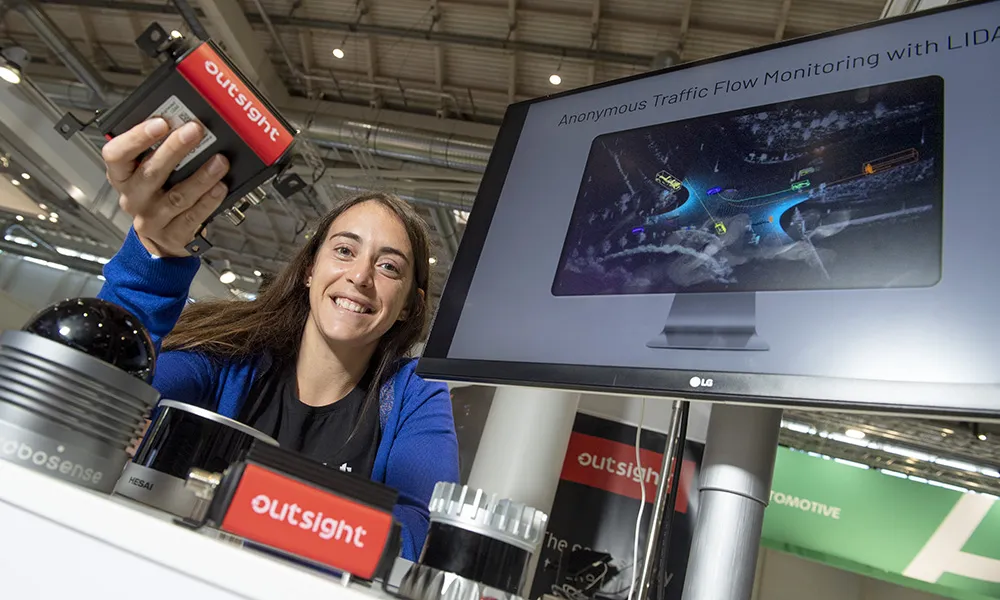
PreAct said that Mojave is the industry's first software-definable flash Lidar and has a depth accuracy error of less than 2%. It is distributed globally by Amazon, Brevan Electronics, Arrow Electronics and Digikey.
PreAct, whose sensors are GDPR-compliant and 100% solid-state, is headquartered in Portland, Oregon, with offices in Ashburn in the US state of Virginia and Barcelona, Spain.
PreAct’s other two new sensors launched at the Consumer Electronics Show (CES) in Las Vegas this week are the Sahara, which is perfect for use outdoors and require up to 20m sensing capabilities, such as automotive, trucking and university research. It has a IP69K rating and holds up in harsh ambient light settings. The small packaging is designed for flexibility of placement at 110mm x 45mm x 33mm.
Meanwhile, the Borrego sensor is designed for long, narrow space coverage for security and logistics. The "out of the way" undetectable design has a protective mounting secured behind a support beam, positioning Borrego to not be an obstruction to precious cargo or draw attention.