
Serbia to upgrade ITS on state road 23

Upgrades include variable messaging and better alerts to drivers of weather conditions
By David Arminas March 11, 2024 Read time: 1 min
Highway in Serbia (© Vasile Szakacs | Dreamstime.com)

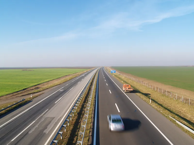
Serbia’s state highways agency Roads of Serbia - JP Putevi Srbije - has launched a project to integrate modern ITS technical solutions along one of its major highways.

State road 23, from Čačak via Zlatibor - commonly known as the Zlatibor Highway - is a 1B-class road in central and western Serbia, connecting Pojate with Gostun on the border with Montenegro.

Upgrades include variable message signs and better meteorological road stations to alert drivers of changeable driving conditions. The technology will have sensors for measuring visibility distances, wind speed and road surface conditions. Traffic congestion alerts will be part of the upgrades.

Late last year, Roads of Serbia reported that the third section of the new 109km Morava A5 Motorway opened to traffic, following the early opening of the first two sections earlier in the year. The A5, 112km long, will be the country's second major transport artery. It will connect east to west, from Pojate to Preljina.

Related Content

  • Wider uses for weigh in motion data
    March 18, 2014
    Colin Sowman talks to Terry Bergan of International Road Dynamics about the latest uses of weigh-in-motion systems. Raising allowable truck weight limits improve transport efficiency but leaves an ever-increasing number of bridges vulnerable to being overloaded and damaged by vehicles heavier, and in some cases far heavier, than they were designed to carry. The simplistic solution is to impose weight restrictions and erect appropriate signs - but this could have severe knock-on effect on trucking operations
  • Putting a stop to intersection indecision
    March 9, 2015
    David Crawford takes a look at innovations to reduce crashes at rural intersections. Intersection crashes continue to represent a worryingly large share of deaths and serious injuries across US highway networks. Statistics from the US Department of Transportation’s Federal Highway Administration show that an average of 21% of road traffic accident deaths occur at crossings. The National Highway Traffic Safety Administration (NHTSA) calculates that intersection crashes account for 48% of all injury-related i
  • Measuring vehicle lengths with a single loop - promising results
    July 27, 2012
    District 7 of Caltrans has been conducting trials to see whether the use of a single inductive loop to measure vehicle lengths and so identify heavy trucks is feasible. So far, the results have been very promising, according to Lead Transportation Engineer Steve Malkson. Between them, the adjoining ports of Los Angeles and Long Beach, the US's two biggest, cover some 10,700 acres (43km2) and 68 miles (109km) of waterfront.
  • Urban tunnel replaces viaduct, improves safety
    October 10, 2012
    Earthquake sensors, automatic barriers and real time monitoring systems are all part of a scheme to make a major Seattle traffic artery safer, by taking it underground. Huw Williams reports. Seattle’s metropolitan area of 3.5 million people, like much of the western seaboard of the United States, lies in an earthquake zone. In Seattle’s case, the city and its hinterland sit atop a complex network of interrelated active geological faults capable of severe seismic activity and posing complex considerations fo