Outsight introduces 3D Lidar simulator

New tool allows customers to work out what kit and coverage - and cost - they require
By Adam Hill November 17, 2022 Read time: 2 mins
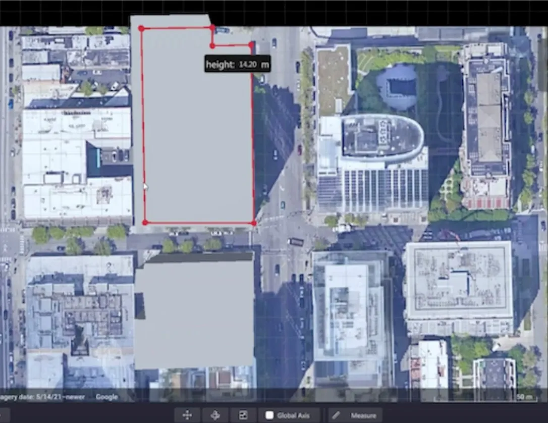
Users can insert their own scenes as a background by using built-in tools for modifying 3D shapes

Lidar specialist Outsight has launched a 3D Lidar simulation tool to help customers answer fundamental questions about deployment.

Deciding which and how many Lidars to use, and working out the best locations for them in terms of height, position and orientation, are among the issues the new tool is designed to overcome.

Users can make up their own simulation and environment to choose the best setting for achieving your performance and functionality goals, anticipating performance depending on each set-up and use case.  .

Outsight sought feedback on its beta version "from more than 300 early customers from various contexts, applications and countries".

It points out there is no need to install any software - users simply connect to their Outsight Cloud account, or request access if they do not already have one. 

Users can browse a list of compatible Lidars and select the right model or combination of models from different manufacturers (e.g. 360º FoV, Narrow Field of View, Dome).

You can find the optimal Lidar coverage by testing different options and coverage levels, establishing the best trade-off between performance, hardware cost and complexity, Outsight says.

It is possible to insert your own scenes as a background by using built-in tools for modifying 3D shapes.

For more information on companies in this article

Related Content

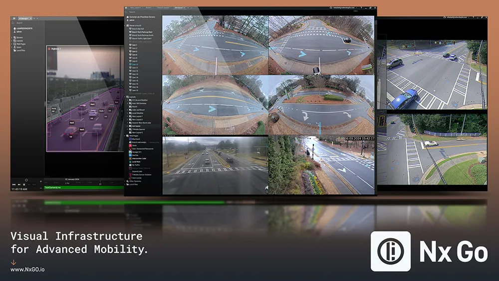
  • Network Optix will unveil Nx Go
    August 30, 2024

    Since 2014, Network Optix has been a global leader in video management, with over 4.5 million cameras under management across 150 countries. Built on its award-winning interface and known for eff ortless video management, Nx Go is the company’s latest innovation, specifically designed for the transportation industry. It enables visual infrastructure for advanced mobility – datadriven transportation from video.

  • Webinar: Prefabricated loops and detectors as a system
    March 7, 2017

    Eberle Design and 7435 Reno A&E are hosting a 45-mionute webinar on Tuesday 14March  at 0800 MST/1000 EST on how detectors and prefabricated loops work together as an accurate and cost effective solution to detect and quantify vehicles and bicycles.

  • New name offers new solutions
    November 26, 2013
    Pete Goldin examines Nokia’s rationale for combining its location services, digital mapping and other capabilities under the HERE brand. While it has divested itself of its mobile phone business to Microsoft, Nokia has kept hold of its HERE business unit and brand which incorporates the company’s location services with digital mapping and other capabilities. The creation of HERE is much more than rebranding as its services are heading off the map and into the cloud. “HERE offers the first location cloud
  • SICK scanning sensor
    February 3, 2012
    SICK's IP67-rated / PLd- and SIL 2-certificated OS2000 laser scanner system detects movement of people, vehicles and objects for safety, security and collision avoidance, including emergency stops and machine control