
Outsight introduces 3D Lidar simulator

New tool allows customers to work out what kit and coverage - and cost - they require
By Adam Hill November 17, 2022 Read time: 2 mins
Users can insert their own scenes as a background by using built-in tools for modifying 3D shapes

Lidar specialist Outsight has launched a 3D Lidar simulation tool to help customers answer fundamental questions about deployment.

Deciding which and how many Lidars to use, and working out the best locations for them in terms of height, position and orientation, are among the issues the new tool is designed to overcome.

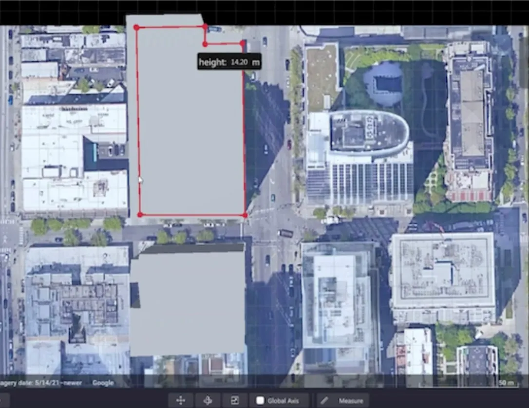
Users can make up their own simulation and environment to choose the best setting for achieving your performance and functionality goals, anticipating performance depending on each set-up and use case.  .

Outsight sought feedback on its beta version "from more than 300 early customers from various contexts, applications and countries".

It points out there is no need to install any software - users simply connect to their Outsight Cloud account, or request access if they do not already have one. 

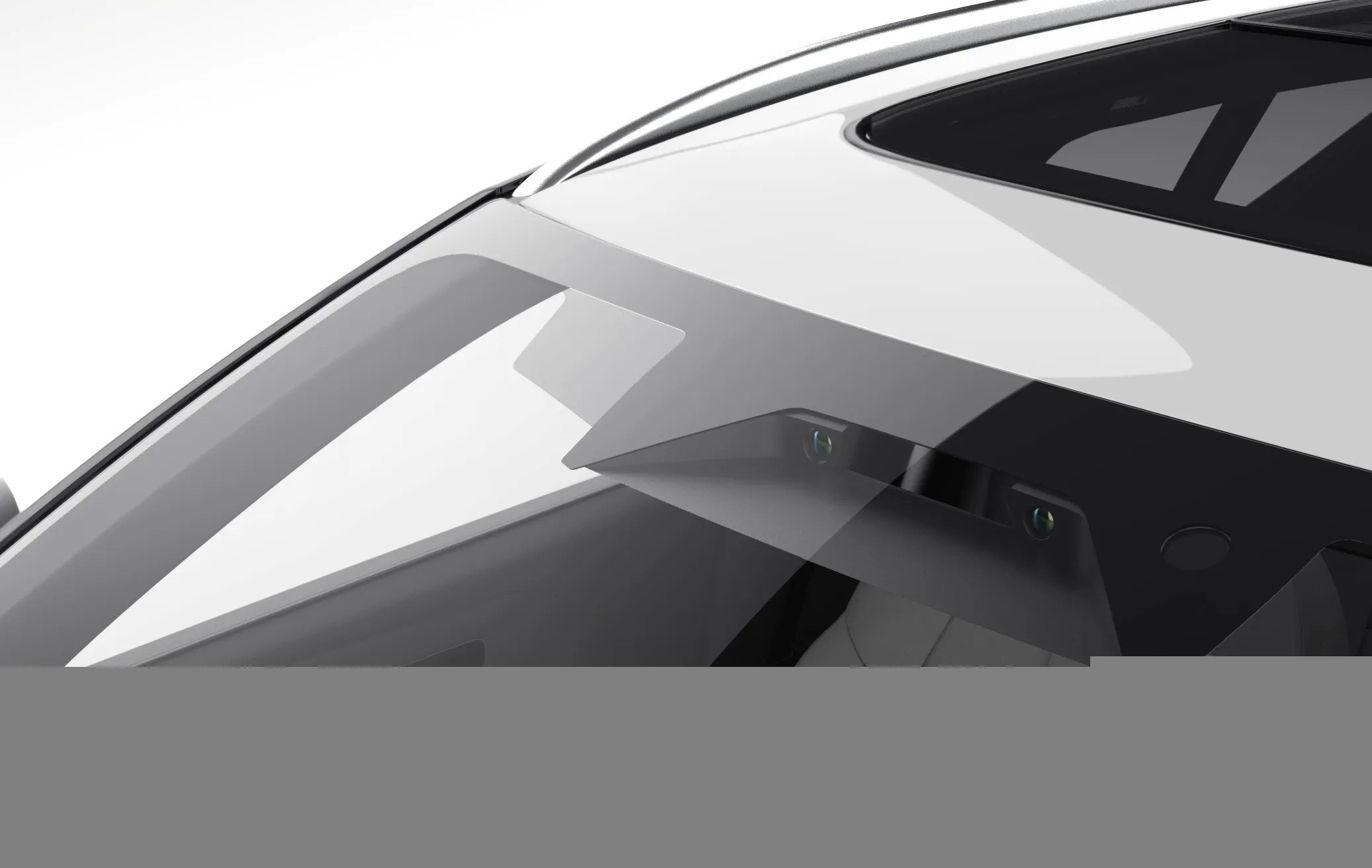
Users can browse a list of compatible Lidars and select the right model or combination of models from different manufacturers (e.g. 360º FoV, Narrow Field of View, Dome).

You can find the optimal Lidar coverage by testing different options and coverage levels, establishing the best trade-off between performance, hardware cost and complexity, Outsight says.

It is possible to insert your own scenes as a background by using built-in tools for modifying 3D shapes.

For more information on companies in this article

Related Content

  • Reducing climate impacts starts at the intersection, says Inrix
    September 11, 2023
    The tools to identify and reduce unnecessary delays at intersections are here – and traffic signal performance improvement is also eligible for US government funding, points out Rick Schuman of Inrix
  • Asecap Days 2023: Data drives the best decisions
    December 22, 2023
    Almost all the data being collected by highway operators is going to waste. But if firms collect and analyse these ‘vast lakes of data’ they can investigate threats, monitor management systems and drive up revenues, delegates were told at Asecap Days 2023. Geoff Hadwick reports
  • Centro demonstrates smart ticketing pilot to European partners
    June 8, 2015
    West Midlands public transport operator Centro has demonstrated its new journey planner system to its partners in the US$4.5 million European MobiWallet project. The system will be integrated with the Swift smartcard system to improve the current journey planner, calculate the best ticket for the journey and enable its purchase through a mobile phone or on-street reader. The two-year, EU funded MobiWallet project includes pilot projects to improve smart ticketing technology in West Midlands, UK; Novi
  • CES 2024: Wideye and Seyond crack in-vehicle Lidar
    January 12, 2024
    Developers say prototype shown at CES is "closer than ever to being market-ready"