Outsight introduces 3D Lidar simulator

New tool allows customers to work out what kit and coverage - and cost - they require
By Adam Hill November 17, 2022 Read time: 2 mins
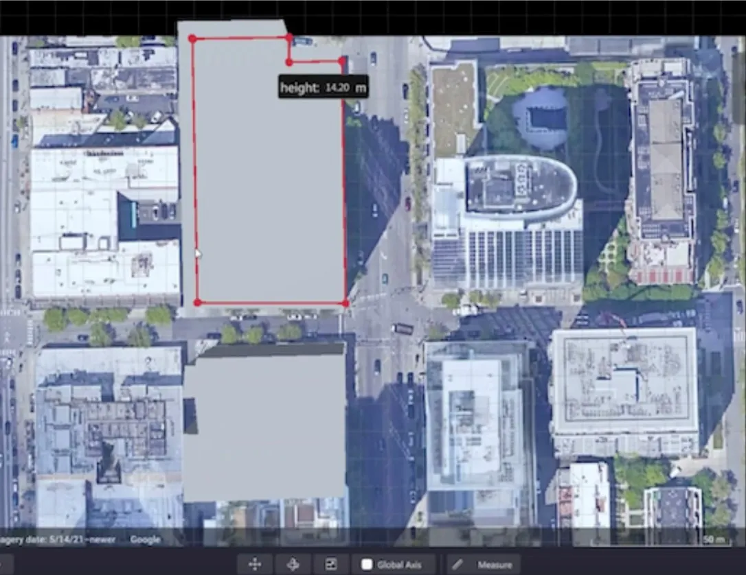
Users can insert their own scenes as a background by using built-in tools for modifying 3D shapes

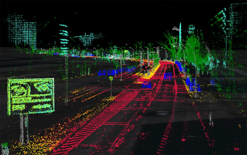
Lidar specialist Outsight has launched a 3D Lidar simulation tool to help customers answer fundamental questions about deployment.

Deciding which and how many Lidars to use, and working out the best locations for them in terms of height, position and orientation, are among the issues the new tool is designed to overcome.

Users can make up their own simulation and environment to choose the best setting for achieving your performance and functionality goals, anticipating performance depending on each set-up and use case.  .

Outsight sought feedback on its beta version "from more than 300 early customers from various contexts, applications and countries".

It points out there is no need to install any software - users simply connect to their Outsight Cloud account, or request access if they do not already have one. 

Users can browse a list of compatible Lidars and select the right model or combination of models from different manufacturers (e.g. 360º FoV, Narrow Field of View, Dome).

You can find the optimal Lidar coverage by testing different options and coverage levels, establishing the best trade-off between performance, hardware cost and complexity, Outsight says.

It is possible to insert your own scenes as a background by using built-in tools for modifying 3D shapes.

For more information on companies in this article

Related Content

  • Aimsun Live landmark deployment
    June 7, 2018
    Aimsun is here at ITS America in Detroit to showcase Aimsun Live, the simulation-based decision support for real-time traffic management that is going from strength to strength. After a successful 24x7 deployment on I-15 in San Diego, the company is announcing that Aimsun Live has been selected by Roads and Maritime Services in New South Wales state, Australia, as the decision support system for managing traffic on a 30-mile corridor for the Sydney M4 Smart Motorway Management System. This is a landmark
  • City Tech to provide CTA occupancy insights 
    March 18, 2021
    Microsoft Azure tool will support data creation and analytics activities
  • Saudi Arabia highlights Tata smart city tech
    January 13, 2022
    Collaboration with Zain will support environmental sustainability measures, Tata says 
  • Septentrio demos AV localisation tech
    January 23, 2020
    Septentrio has provided GPS/global navigation satellite system (GNSS) technology for computer vision supplier Artisense’s Visual Inertial Navigation System (VINS).