Iteris launches computer vision for smarter crosswalks

Iteris has added new pedestrian measurement capabilities to its advanced video detection platforms with PedTrax, which it says automates measurement of the count, direction and speed of pedestrians in crosswalks to provide insights on levels of street life.
October 6, 2016 Read time: 1 min

73 Iteris has added new pedestrian measurement capabilities to its advanced video detection platforms with PedTrax, which it says automates measurement of the count, direction and speed of pedestrians in crosswalks to provide insights on levels of street life.

PedTrax provides transportation professionals and officials with data on foot traffic volume, direction and speed to optimise intersection signal timing and inform proactive improvements to signage and striping, intersection design, overpass locations, school crossing guard deployment and even economic development programs.

Automated counting of the number and speed of pedestrians provides better on-screen reporting in traffic control centres. PedTrax presents reliable, current data for grant applications and performance monitoring with documented down-to-the-minute as well as seasonal trends in pedestrian traffic patterns.
The new PedTrax pedestrian measurement algorithm will be pre-installed on all new Vantage detection systems and will be available as a free firmware upgrade to existing Edge2 and Vantage Next systems.

For more information on companies in this article

Related Content

  • Traffic signal priority initiatives aid better bus travel
    March 15, 2012
    David Crawford investigates traffic signal priority initiatives developing for better bus travel on the US Pacific Coast Transit patronage rises by an average of 35% along commuter corridors equipped with bus rapid transit (BRT) systems, according to the US Department of Transportation’s Federal Transit Administration (FTA). BRT as defined as bus transit enhanced with ITS systems for better services, is winning new passengers attracted by opportunity to avoid increasing fuel costs and traffic congestion.
  • Cloud computing technology benefits GIS
    July 17, 2012
    Geographic Information Systems are a relatively late adopter of cloud computing,but the benefits of host services for geospatial data and analysis are becoming clear. Jason Barnes reports Both the concept and the reality of cloud computing have been around for some time. More and more industry sectors are entrusting external service providers with the provision of their computing services via the internet. However, the Geographic Information System (GIS) industry has been slow to embrace the trend. This is
  • Multi-technology sensor fusion comes into focus
    July 30, 2025

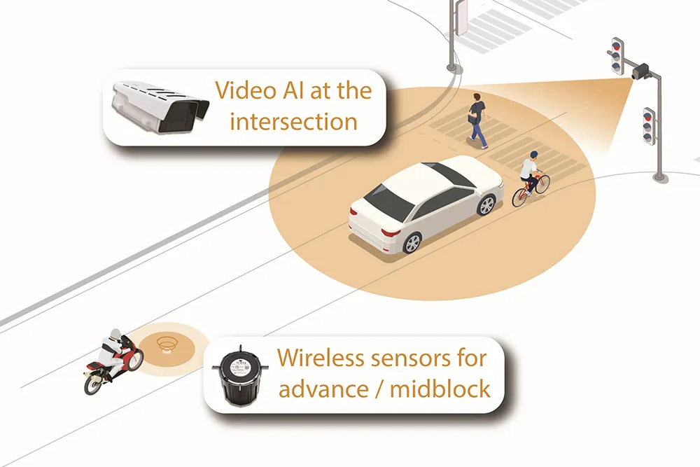
    The future of intelligent transportation is arriving at this year’s Congress with the launch of Sensys Networks’ MultiSens Intersection. This is a practical advancement in traffic detection that merges video AI and wireless sensors into a single, unified platform for signal actuation and traffic analysis. Sensys Networks innovative system delivers true sensor fusion, offering unparalleled insights into traffic flow.

  • SVS trials vehicle sensing tech in UK
    March 29, 2021
    Smartmicro solution includes a radar capable of monitoring 12 lanes of traffic