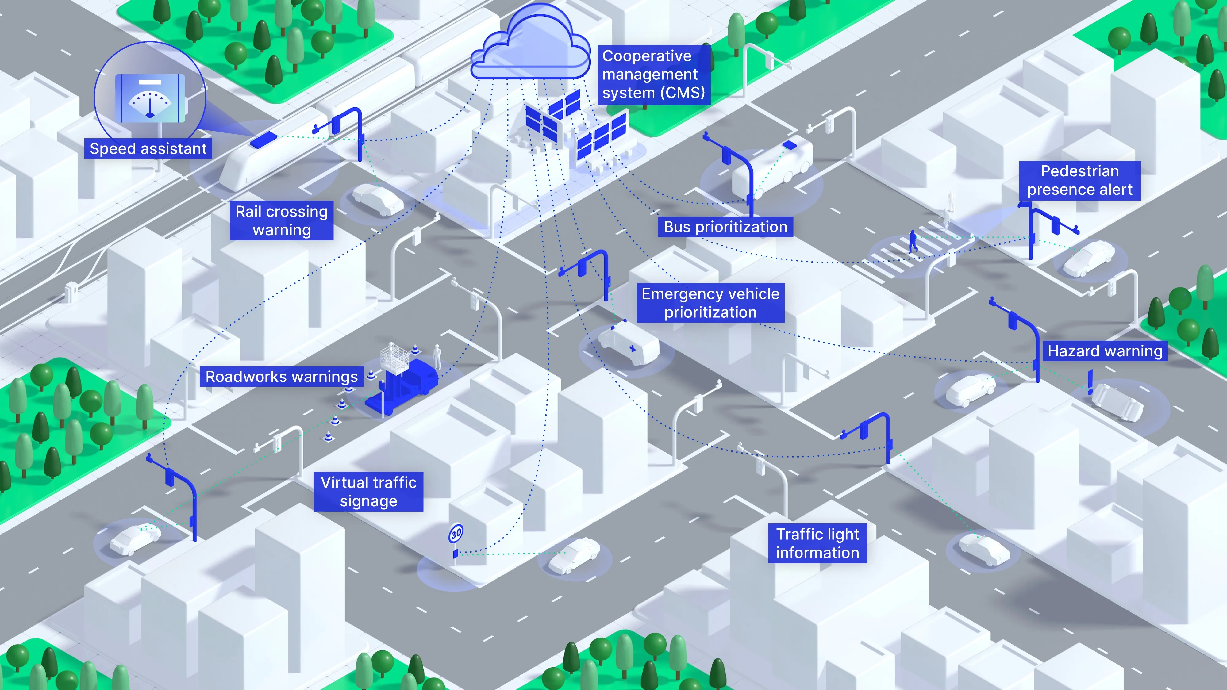
A joint venture between Dominion University and Virginia Beach city planners, the Centre for Innovative Transportation Solutions, will soon be shaping the city’s transportation future using computer simulations. City planners envision that the centre can help answer all sorts of questions, including the best place to add lanes or build a new road, what the traffic from a sports arena would look like, or what contingencies are needed to prepare for an accident or natural disaster that shuts down a key road.
November 5, 2012
Read time: 2 mins
A joint venture between Dominion University and Virginia Beach city planners, the Centre for Innovative Transportation Solutions, will soon be shaping the city’s transportation future using computer simulations.
City planners envision that the centre can help answer all sorts of questions, including the best place to add lanes or build a new road, what the traffic from a sports arena would look like, or what contingencies are needed to prepare for an accident or natural disaster that shuts down a key road.
The simulations will be far more detailed than the regional model now available to planners in Hampton Roads, said Mark Schnaufer, the city's transportation planning coordinator.
Bob Gey, the city's traffic engineer, described the difference this way: “Think of a model that basically tells you how many cars can go down a street. Now think of a simulation that breaks down the traffic counts into individual vehicles and then incorporates those "predictable unpredictables" - breakdowns and accidents - that Gey said cause half of all delays.”
The centre will not be limited to Virginia Beach-specific work, however. Mayor Will Sessoms said Thursday that the centre will partake in "unbiased, nonpartisan and scientific endeavours."
City officials anticipate using the centre to help them develop their long-range transportation plan. One of the first tasks will be to create a base model of Virginia Beach's freeways and other major roads, including intersections with traffic lights, said Mecit Cetin, an associate professor at the centre.
Such a detailed working model of a city's transportation network has been done only in a few places in the country, Cetin said.


