
Vianova data aims to speed up bus flow in City of Light

RATP partners to make public transit vehicles smarter and speed up routes in Paris
By Adam Hill May 15, 2023 Read time: 2 mins
RATP is experimenting with smart cameras and sensors on its buses (© Ampack | Dreamstime.com)

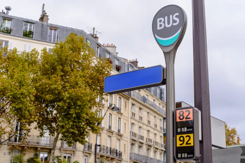
Mobility data platform Vianova is partnering with French public transport operator RATP to understand how the kerb is being used in Paris - or instance, with the increase in online deliveries - and to help prevent infrastructure such as bus lanes from being blocked.

RATP oversees 355 bus routes and 4,700 vehicles; Vianova will utilise data from connected vehicles to better understand how traffic across the city flows.

Vianova’s mobility analytics software leverages data from more than one million connected vehicles every day to provide policymakers, transport and urban planners, consulting firms and data scientists with insights on their own services and projects.

Its platform can take data from multiple different sources and mix different location datasets to create actionable insights.

RATP is experimenting with smart cameras and sensors on its buses, which detect vehicles in real time, feeding the data back to Vianova’s platform.

It builds on work which RATP conducted with the Massachusetts Institute of Technology (MIT) on kerb management.

Thibault Castagne, co-founder and CEO at Vianova, said: “Buses are an integral part of any city’s public transport infrastructure and cover an important portion of the street network."

"This is exactly the kind of challenge Vianova was built to solve and we look forward to seeing the solutions Vianova helps the RATP team implement in Paris.” 

Pauline Baudry, urban ecosystem program manager at RATP, said: “By using technology, we can produce insights on the dynamics of the city. Working with Vianova enables us to analyse and visualise data in an impactful way, revealing insightful patterns of mobility and kerb usage.”

For more information on companies in this article

Related Content

  • IBM and City of Lyon collaborate to create transport management centre of the future
    November 15, 2012
    IBM researchers are piloting a system with the City of Lyon, France which will be used to help traffic operators in its transportation management centre to evaluate an incident and make more informed assessments about which actions would restore traffic flow. Using real-time traffic data, the new analytics and optimisation technology can help officials predict outcomes and analyse ways to resolve problems. The researchers say that, although traffic management centres have sophisticated video walls and colou
  • ITS needs data highways
    November 18, 2014
    Transport and traffic data is on the increase but there must be an integrated data highway to derive the maximum ITS benefits, argues Deutsche Telekom. From public transport operators recording increasingly precise and comprehensive data on their vehicle’s position and driving behaviour to local authorities using RFID and video systems to control traffic on their streets and highways, the amount of traffic data is growing rapidly.
  • ITS America and Terbine set up data exchange
    June 6, 2018
    ITS America has set up an information exchange to make sense of the myriad Internet of Things (IoT) data in the transportation ecosystem. The ITSA Data Exchange, powered by data firm Terbine, is exclusively available to all ITS America members and will enable them to share in one place large volumes of information from multiple sources and platforms. “This is a tremendous new tool that will help our members save lives and improve mobility,” said ITS America president and CEO Shailen Bhatt at ITS America’s
  • Inrix informs FHWA’s data improvements
    December 19, 2017
    Refinements in the data available from the US Federal Highway Administration will improve road management across America. David Crawford reports. In August 2017, the US Federal Highway Administration (FHWA) issued the first results from an upgraded version of its National Performance Management Research Data Set (NPMRDS). Developed to identify the locations and times of high congestion affecting traffic flows along America’s 259,000km (161,000 mile) national highway system, this is a key resource for sta