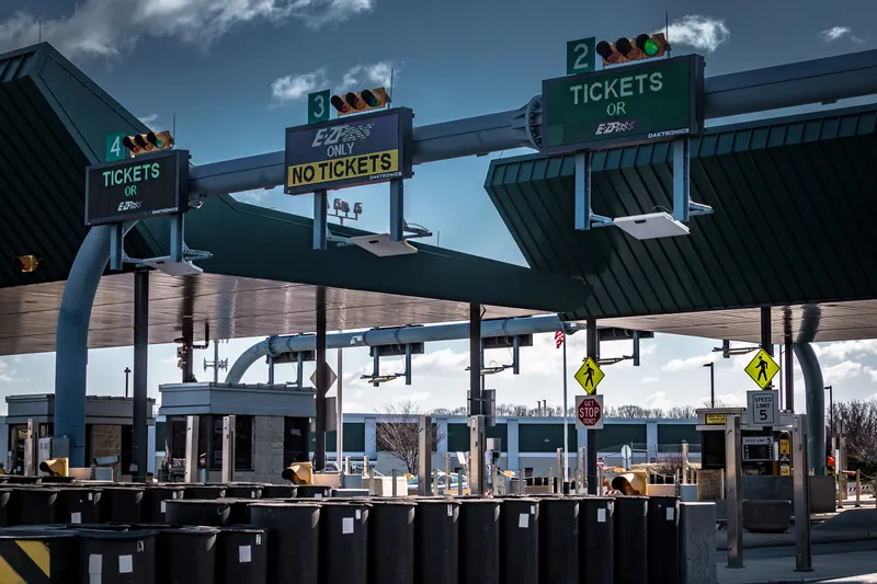
San Francisco mayor Edwin M. Lee has launched the city’s congestion management strategy to improve traffic flow and safety, especially in the South of Market neighbourhood where construction and growth remain the highest in the City.
The strategy outlines additional efforts the city could undertake, beyond traditional approaches such as the Interdepartmental Staff Committee on Traffic and Transportation (ISCOTT). These additional efforts include smarter traffic enforcement, better construction permitt
San Francisco mayor Edwin M. Lee has launched the city’s congestion management strategy to improve traffic flow and safety, especially in the South of Market neighbourhood where construction and growth remain the highest in the City.
The strategy outlines additional efforts the city could undertake, beyond traditional approaches such as the Interdepartmental Staff Committee on Traffic and Transportation (ISCOTT). These additional efforts include smarter traffic enforcement, better construction permitting, and coordinated efforts through the City’s new traffic management centre (TMC).
4802 San Francisco Municipal Transportation Agency (SFMTA) and San Francisco Police Department (SFPD) will coordinate rush hour traffic enforcement and traffic management.
Parking control officers will also focus on preventing gridlock by enforcing ‘blocking the box’ violations, a strategy that proved successful in a summer 2014 pilot.
Over the next two years, additional efforts will focus on data and technology, planning and enforcement. SFMTA will assemble currently available real-time data from traffic cameras and public information cutting-edge public data feeds to establish a monitoring function in its new TMC. By the end of next year, SFMTA will connect the city’s traffic signals to the TMC to allow engineers to diagnose signal problems in real time, fix signals quickly, and manage traffic peaks during rush hours and special events. SFMTA will use its real-time Twitter feed to provide and receive traffic information.
“San Francisco is experiencing unprecedented growth, and as a result, we are seeing increased demand on our streets,” said Mayor Lee. “These new focused measures to combat congestion can help make Muni, taxis, shuttles, bikes, and cars move through the City more smoothly and predictably, and can make the streets safer for everyone, particularly pedestrians. This new strategy will get us to our Vision Zero goal of ending pedestrian fatalities.”
“Smart, data-driven, targeted efforts to reduce congestion in San Francisco can make it easier and smoother for people to get around the City,” said SFMTA Director of Transportation Ed Reiskin. “These efforts will also help us make Muni more reliable and help us reach our long-term goals – to achieve Vision Zero, and to make transit, bicycling, car share, taxi and walking great ways to get around San Francisco.”
The strategy outlines additional efforts the city could undertake, beyond traditional approaches such as the Interdepartmental Staff Committee on Traffic and Transportation (ISCOTT). These additional efforts include smarter traffic enforcement, better construction permitting, and coordinated efforts through the City’s new traffic management centre (TMC).
Parking control officers will also focus on preventing gridlock by enforcing ‘blocking the box’ violations, a strategy that proved successful in a summer 2014 pilot.
Over the next two years, additional efforts will focus on data and technology, planning and enforcement. SFMTA will assemble currently available real-time data from traffic cameras and public information cutting-edge public data feeds to establish a monitoring function in its new TMC. By the end of next year, SFMTA will connect the city’s traffic signals to the TMC to allow engineers to diagnose signal problems in real time, fix signals quickly, and manage traffic peaks during rush hours and special events. SFMTA will use its real-time Twitter feed to provide and receive traffic information.
“San Francisco is experiencing unprecedented growth, and as a result, we are seeing increased demand on our streets,” said Mayor Lee. “These new focused measures to combat congestion can help make Muni, taxis, shuttles, bikes, and cars move through the City more smoothly and predictably, and can make the streets safer for everyone, particularly pedestrians. This new strategy will get us to our Vision Zero goal of ending pedestrian fatalities.”
“Smart, data-driven, targeted efforts to reduce congestion in San Francisco can make it easier and smoother for people to get around the City,” said SFMTA Director of Transportation Ed Reiskin. “These efforts will also help us make Muni more reliable and help us reach our long-term goals – to achieve Vision Zero, and to make transit, bicycling, car share, taxi and walking great ways to get around San Francisco.”