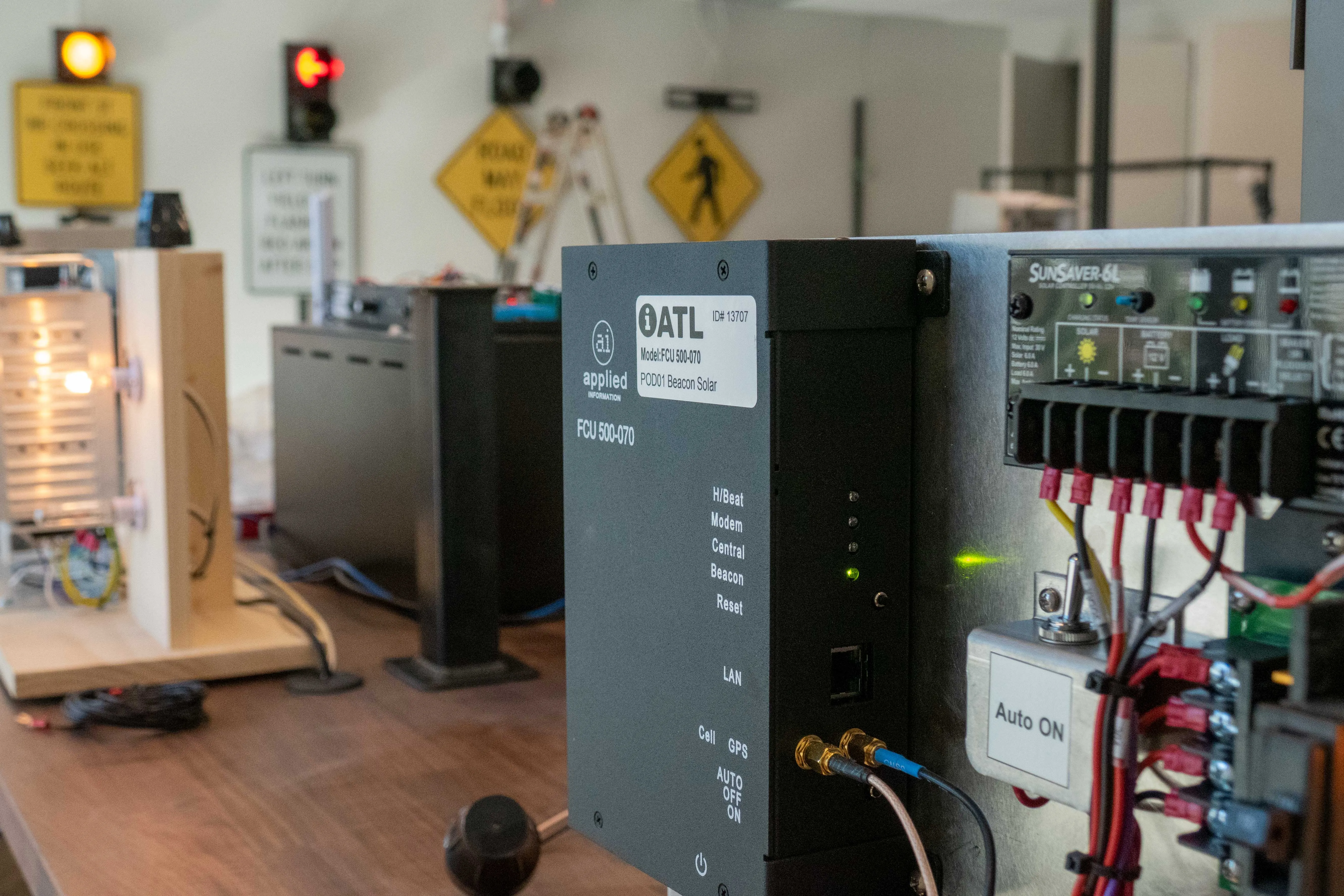
According to city engineers in Los Angeles, they have achieved a major milestone in their efforts to ease traffic congestion in the city; every one of its nearly 4,400 signalised intersections is now monitored and synchronised for more efficient traffic flow. Loop detectors installed under the road surface monitor traffic, providing speed, traffic volume and queue data, while more than 400 cameras each monitor up to twenty intersections, all coordinated by the city’s Automated Traffic Surveillance and Contr
According to city engineers in Los Angeles, they have achieved a major milestone in their efforts to ease traffic congestion in the city; every one of its nearly 4,400 signalised intersections is now monitored and synchronised for more efficient traffic flow.
Loop detectors installed under the road surface monitor traffic, providing speed, traffic volume and queue data, while more than 400 cameras each monitor up to twenty intersections, all coordinated by the city’s Automated Traffic Surveillance and Control System (ATSAC). ATSAC’s team of traffic engineers monitor more than a dozen screens showing live video feeds and animated graphics for every signalised intersection in the city.
Based on data from the loop detectors, a proprietary algorithm developed by ATSAC determines demand on a given intersection. Then, based on time of day or scheduled events, it can modify a signal's timing in order to move traffic along.
A system this complex and adaptive is quietly undermining the city's reputation for terrible traffic, but engineer Edward Yu, who oversees ATSAC, there's always something to improve.
"The city's always growing, it's always developing. We're looking at ways to improve our existing system, upgrading our system, expanding it, using our data to give more motorists information. It'll be a matter of time before we develop the next big thing."