
Iteris launches computer vision for smarter crosswalks

Iteris has added new pedestrian measurement capabilities to its advanced video detection platforms with PedTrax, which it says automates measurement of the count, direction and speed of pedestrians in crosswalks to provide insights on levels of street life. PedTrax provides transportation professionals and officials with data on foot traffic volume, direction and speed to optimise intersection signal timing and inform proactive improvements to signage and striping, intersection design, overpass locations
August 12, 2016 Read time: 2 mins
73 Iteris has added new pedestrian measurement capabilities to its advanced video detection platforms with PedTrax, which it says automates measurement of the count, direction and speed of pedestrians in crosswalks to provide insights on levels of street life.

PedTrax provides transportation professionals and officials with data on foot traffic volume, direction and speed to optimise intersection signal timing and inform proactive improvements to signage and striping, intersection design, overpass locations, school crossing guard deployment and even economic development programs.

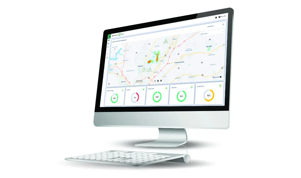
Automated counting of the number and speed of pedestrians provides better on-screen reporting in traffic control centres. PedTrax presents reliable, current data for grant applications and performance monitoring with documented down-to-the-minute as well as seasonal trends in pedestrian traffic patterns.

The data and analytics supplied by PedTrax, along with Iteris’ SmartCycle, can inform agencies where roadway operations should be made more pedestrian- or bicycle-friendly.

The new PedTrax pedestrian measurement algorithm will be pre-installed on all new Vantage detection systems and will be available as a free firmware upgrade to existing Edge2 and Vantage Next systems.

Iteris will unveil PedTrax at the ITE 2016 Annual Meeting in Anaheim, California, next week.

For more information on companies in this article

Related Content

  • ITS America shows vehicle infrastructure integration technology
    March 14, 2012
    A number of ITS America members have signed up to display vehicle-to-vehicle and vehicle-to-infrastructure communication systems and related applications at the Vehicle Infrastructure Integration Technology Showcase being held at the ITS America Annual Meeting in Palm Springs, California, 4-6 June 2007.
  • Econolite raises the innovation bar by introducing Centracs Mobility
    September 4, 2020
    Econolite introduces Centracs Mobility, a highly flexible cloud-based software solution platform, designed to provide added value and actionable information, augmenting the traffic management software toolset. The new software solution combines all the proven capabilities of Centracs Advanced Transportation Management System (ATMS) currently deployed in over 325 agencies in North America, with the cloud-based data analytics of signal performance measures (SPM), signal timing optimisation, and real-time signal control.
  • Benefits of Florida's traffic signal retiming
    November 7, 2012
    Lee County in Florida has consolidated dramatic results of a major traffic signal retiming with installation of advanced monitoring and management technology for generating further benefits. The Lee County Department of Transportation (DOT), in the US State of Florida, has completed retiming of traffic signals for over 50 intersections in the cities of Fort Myers and Bonita Springs. The project aimed to evaluate existing operations and enable adjustments to optimise flows, and has produced dramatic results
  • Cloud computing technology benefits GIS
    July 17, 2012
    Geographic Information Systems are a relatively late adopter of cloud computing,but the benefits of host services for geospatial data and analysis are becoming clear. Jason Barnes reports Both the concept and the reality of cloud computing have been around for some time. More and more industry sectors are entrusting external service providers with the provision of their computing services via the internet. However, the Geographic Information System (GIS) industry has been slow to embrace the trend. This is