Seoul Robotics opens doors of perception

SENSR-I software can capture actionable data on movement of people and vehicles
March 25, 2022 Read time: 1 min
SENSR-I can simultaneously track the precise movements of people, vehicles and bicycles over expansive areas, says Seoul Robotics

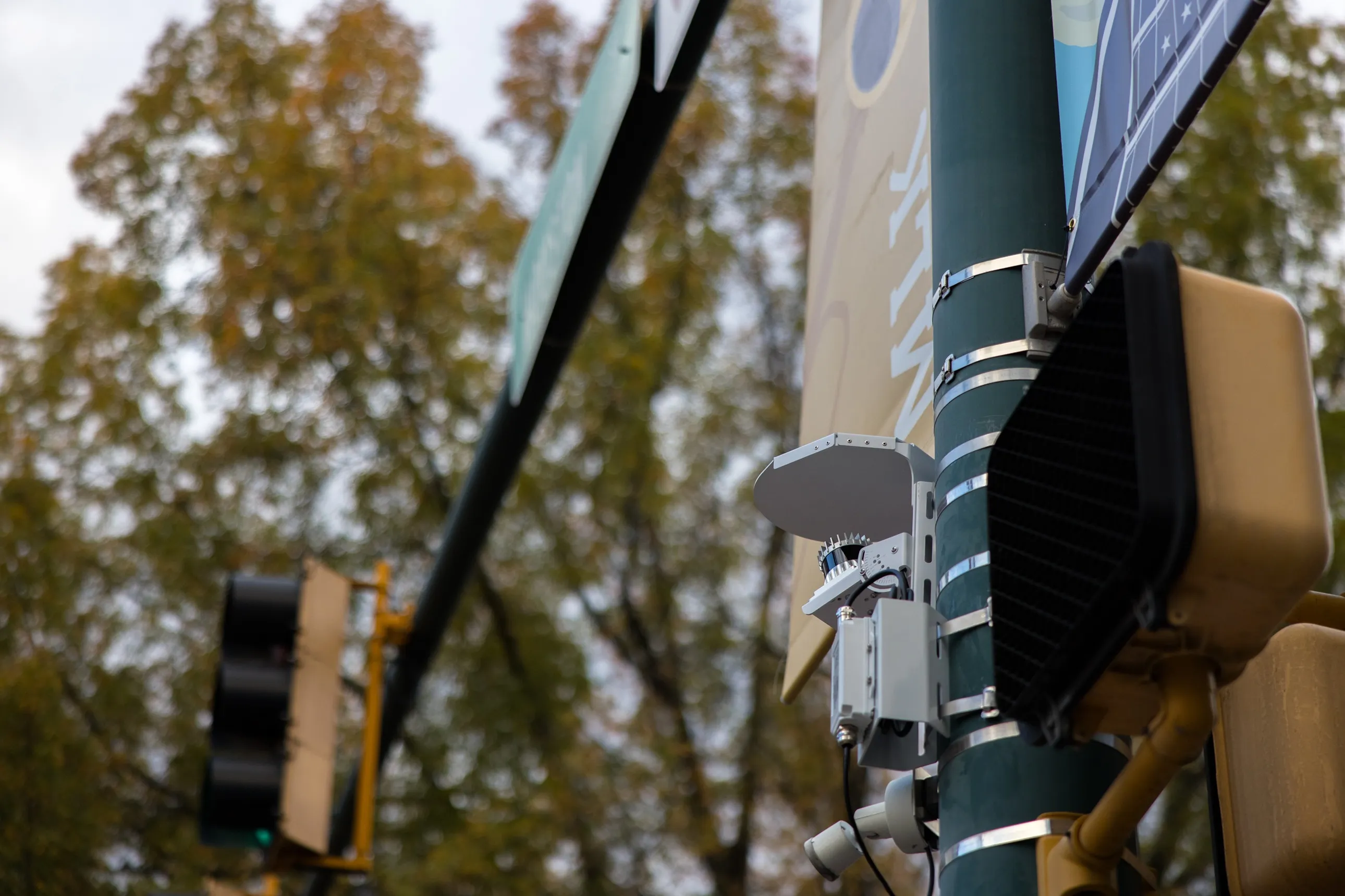
Seoul Robotics has introduced an infrastructure-based version of its SENSR 3D perception software.

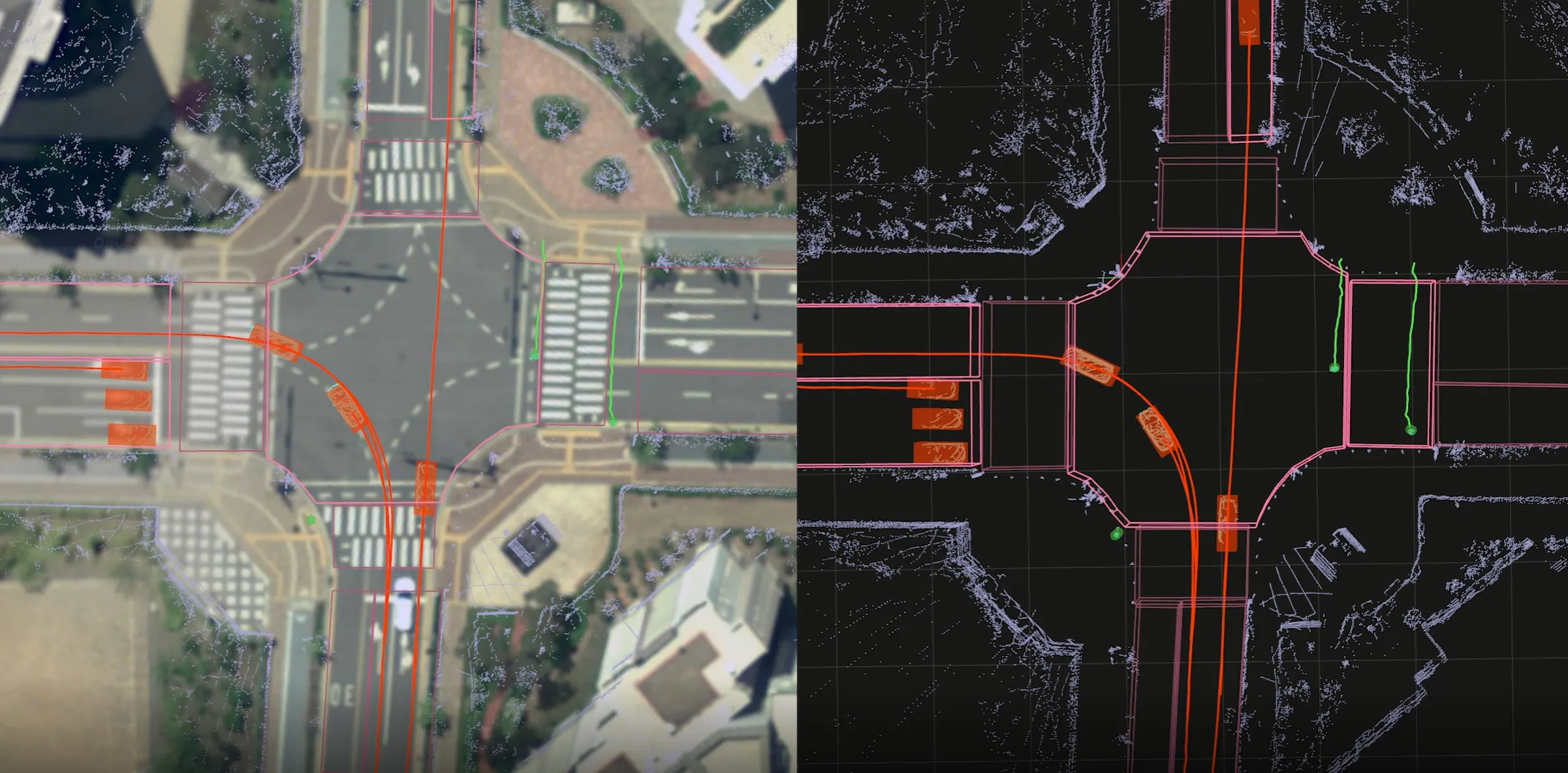
The new product, SENSR-I, processes data captured by 3D sensors to provide high-resolution environmental insights, enabling customers to see how people and vehicles move through large spaces. 

It supports anything from central processing to edge computing and is sensor- and hardware-agnostic, the company says.

When applied to 3D sensors on static infrastructure (indoors and outdoors), SENSR-I can precisely track within an error of 4cm.

“Until now, 2D cameras have been the only accessible, affordable solution, but that is no longer the case," says Jerone Floor, VP of products and solutions at Seoul Robotics.

"Indisputably, 3D systems enable organisations to get deeper, more actionable data. SENSR-I changes the game with its ability to simultaneously track the precise movements of people, vehicles and bicycles over expansive areas – unlocking unprecedented insights that can transform operations in ways never before possible."

3D analytics uses non-biometric data "with more robust 3D vision that is able to accurately detect object movement beyond what is visible from a single perspective, as well as track a single object across multiple sensors", Seoul adds.

The Korean government invested $12m in Seoul Robotics last year.

For more information on companies in this article

Related Content

  • Machine vision needs standards to fulfil ITS demands
    May 28, 2014
    No-one should expect the enabling qualities of machine vision to come free of charge but Jason Barnes finds there is still much that ITS stakeholders can do to help reduce costs. After many years of application in high-end solutions for the enforcement and tolling sectors, machine vision is gaining traction in more general areas of traffic management. Nevertheless, those OEMs producing transport-oriented solutions which incorporate machine vision and looking to increase the technology’s share of the ITS mar
  • Vision technology is bringing 2024 into sharp focus
    January 9, 2024
    What vision trends should we be looking out for? AI? Autonomous vehicles? Video analytics? Let’s ask the experts
  • Utah DoT chooses Econolite & Ouster for Lidar traffic management
    March 13, 2025
    Ouster's 3D digital Lidars are used in combination with its BlueCity platform
  • Cloud computing technology benefits GIS
    July 17, 2012
    Geographic Information Systems are a relatively late adopter of cloud computing,but the benefits of host services for geospatial data and analysis are becoming clear. Jason Barnes reports Both the concept and the reality of cloud computing have been around for some time. More and more industry sectors are entrusting external service providers with the provision of their computing services via the internet. However, the Geographic Information System (GIS) industry has been slow to embrace the trend. This is