
Applied Information at a Glance

Preemption system can control multiple traffic signals in direction of travel
By David Arminas August 5, 2024 Read time: 2 mins
Glance Preemption system provides emergency first responders with vehicle tracking and reporting

Applied Information says that its Glance Preemption system automatically enables optical and cellular Vehicle to Everything (C-V2X) technologies to work together to request a green light.

First responders and transit system operators that use optical preemption, an infrared technology developed in the 1970s, can now easily transition their fleets to Applied’s C-V2X technology to request green lights at intersections, reducing response times and improving safety.

The Glance Preemption system also provides emergency first responders with vehicle tracking and reporting. It can notify the public of a nearby active emergency vehicle on Waze, Haas Alert Safety Cloud and the TravelSafely smartphone app.

“The Glance Preemption system has proven time and time again to provide better response times and now there is a seamless pathway for first responders to easily take advantage of the newer technology,” said Bryan Mulligan, president of Applied Information. “By navigating intersections faster and more safely than before, first responders can focus on what’s important, reaching people in an emergency.”

The company said that where Glance Preemption has replaced optical-only systems, first responders report saving around 10 seconds per signalised intersection on their emergency calls. One study using Glance Priority technology found that it was able to reduce travel times by 47%.

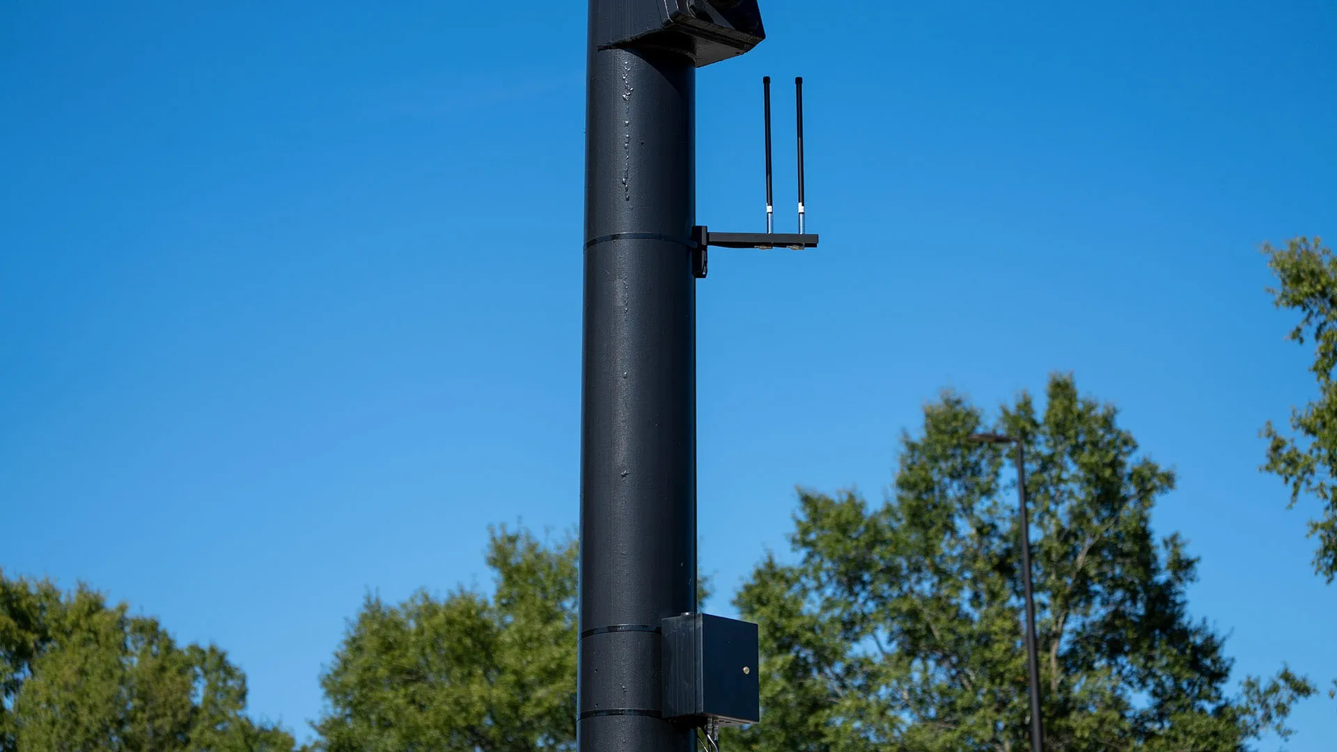
Glance Preemption can control multiple traffic signals in the direction of travel, keeping traffic moving and out of the way of emergency vehicles. It uses a combination of GPS, edge computing and redundant cellular and direct radio communications to work with the traffic signal. Adding the Glance Optical Data Aggregator activates the optical option and provides connectivity and reporting previously not available.

For more information on companies in this article

Related Content

  • VTA demonstrating Smart Stop technology at ITS America San Jose
    June 15, 2016
    The Santa Clara Valley Transportation Authority (VTA) is showing conference attendees how its Smart Stop technology can tell bus drivers that someone is waiting at a particular stop, improving the rider experience while saving fuel costs. The Smart Stop demonstration is designed to highlight Vehicle to Infrastructure (V2I) and Vehicle to Vehicle (V2V) solutions using dedicated short range 5.9 GHz Wi-Fi communications. It was built in partnership with Renesas Electronics America, a semiconductor supplier, a
  • Boston partners with traffic app Waze on traffic management
    February 17, 2015
    Boston, US, has formed a new data-sharing partnership with Google-owned traffic app Waze, to enable the city’s drivers, cyclists and pedestrians to check real time traffic conditions on Boston’s streets. The partnership aims to help improve traffic flow in Boston in two principal ways. As part of the partnership, the City will share information on expected road closures with the 400,000 users of Waze in Greater Boston, helping them find the best way to get around town. In addition, aggregated information o
  • Esri maps cause and effect
    September 26, 2024
    The work of the Connecticut Transportation Safety Research Center means engineers can concentrate on developing more effective safety measures, rather than having to sort out raw crash data
  • Asecap Days 2023: Data drives the best decisions
    December 22, 2023
    Almost all the data being collected by highway operators is going to waste. But if firms collect and analyse these ‘vast lakes of data’ they can investigate threats, monitor management systems and drive up revenues, delegates were told at Asecap Days 2023. Geoff Hadwick reports