Applied Information at a Glance

Preemption system can control multiple traffic signals in direction of travel
By David Arminas August 5, 2024 Read time: 2 mins
Glance Preemption system provides emergency first responders with vehicle tracking and reporting

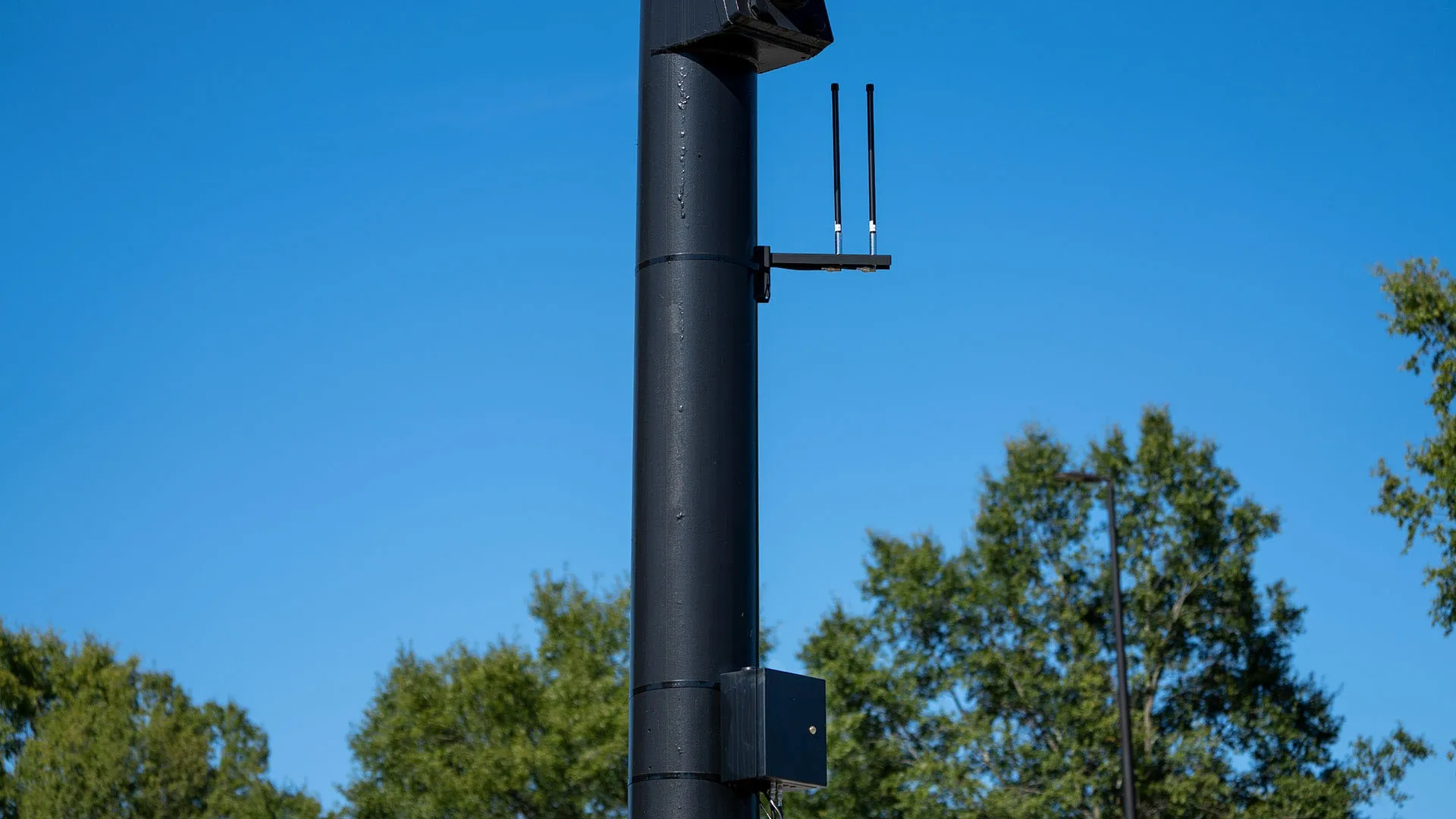
Applied Information says that its Glance Preemption system automatically enables optical and cellular Vehicle to Everything (C-V2X) technologies to work together to request a green light.

First responders and transit system operators that use optical preemption, an infrared technology developed in the 1970s, can now easily transition their fleets to Applied’s C-V2X technology to request green lights at intersections, reducing response times and improving safety.

The Glance Preemption system also provides emergency first responders with vehicle tracking and reporting. It can notify the public of a nearby active emergency vehicle on Waze, Haas Alert Safety Cloud and the TravelSafely smartphone app.

“The Glance Preemption system has proven time and time again to provide better response times and now there is a seamless pathway for first responders to easily take advantage of the newer technology,” said Bryan Mulligan, president of Applied Information. “By navigating intersections faster and more safely than before, first responders can focus on what’s important, reaching people in an emergency.”

The company said that where Glance Preemption has replaced optical-only systems, first responders report saving around 10 seconds per signalised intersection on their emergency calls. One study using Glance Priority technology found that it was able to reduce travel times by 47%.

Glance Preemption can control multiple traffic signals in the direction of travel, keeping traffic moving and out of the way of emergency vehicles. It uses a combination of GPS, edge computing and redundant cellular and direct radio communications to work with the traffic signal. Adding the Glance Optical Data Aggregator activates the optical option and provides connectivity and reporting previously not available.

For more information on companies in this article

Related Content

  • Rochester solves $8.5m transit question
    October 22, 2018
    RTS in Rochester, New York, saves by working with Conduent to upgrade its CAD/AVL systems rather than ripping them up and replacing them. Andrew Bardin Williams hops on for a ride. What to do, what to do?” It’s a question every transportation official must ask when faced with legacy assets, equipment and software that are nearing the end of their useful life. Nothing lasts forever, right? Freeways need to be repaired, bridges replaced, traffic management software updated and railway cars turned into
  • EDI introduces Eberle Glance and RAE Glance
    September 7, 2014

    41 Eberle Design Inc. (EDI), the broad-line industry leader in traffic detection, intersection safety monitoring and access control products, has used its appearance here at the ITS World Congress to introduce Eberle Glance and RAE Glance, the first system capable of accessing real-time intersection and arterial traffic data from any traffic cabinet, regardless of the controller or central ITS system.

  • Big data and GPS combine to cut emergency response times
    April 2, 2014
    David Crawford looks at technologies for better emergency medical service delivery. Emergency medical services (EMS) play key roles in transporting, or bringing treatment to, patients who become ill through medical emergencies or are injured in road traffic accidents (RTAs). But awareness has been rising steadily, in the US and elsewhere, of the extent to which EMS can generate their own emergencies. The most common cause is vehicles causing or becoming involved in RTAs, as a result of driving fast under pr
  • Healthy prospects for floating vehicle data systems
    February 3, 2012
    Elmar Brockfeld, Alexander Sohr and Peter Wagner from the German Aerospace Center's Institute of Transport Systems look at the prospects for floating vehicle data systems. Although Floating Vehicle Data (FVD) or probe vehicle fleets have been around for about a decade, the idea behind them is of course much older: from probe vehicles that flow with the traffic it should be possible to get a precise, fast and spatially near-complete picture of the prevailing traffic flow conditions in an area under surveilla