Ouster's digital Lidar is to help the German city of Aachen build digital twins as it prepares for Vehicle to Everything (V2X) deployments.
The city is working with the Institute for Automotive Engineering at the RWTH Aachen University, Ford Mobility and Voddafone to prepare the city for the widespread adoption of autonomous vehicles (AV) by building a connected infrastructure that supports all road users.
The Corridor of New Mobility Aachen – Düsseldorf project is funded by the German Federal Ministry of Transport and Digital Infrastructure.
The two-year initiative is seeking to create an integrated development environment, involving test facilities such as the KoMoD test site in Düsseldorf or the completed Aldenhoven Testing Center in a bid to test and validate AVs in interaction with networked infrastructure.
In a blog post, Ouster's product marketing manager Samantha Chan says researchers at the university turned to Ouster because they needed detailed data of the infrastructure and “privacy-safe” data of all road users and their movement patterns.
Chan explains that researchers first needed to develop a digital twin of the infrastructure that integrates high-resolution infrastructure data, road user behaviours and vehicle movement patterns, so they can then develop and test AV and V2X simulations on the digital twin.
“With 100+ Ouster OS1 digital Lidar sensors and 200+ cameras, researchers built 60 mobile measuring stations to be deployed across a 4.3km stretch of urban, highway, and rural infrastructure,” she continues.
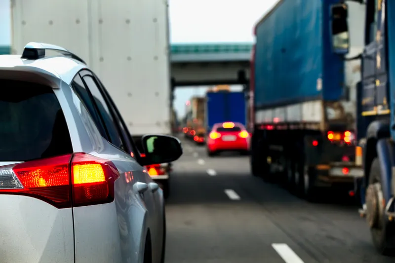
According to Chan, the high-resolution Lidar augments camera output in low light, adverse weather conditions and provides precise object position and location data.
“When measuring and simulating real-world scenarios, this millimetre-level accuracy could be the difference between preventing a fatal collision or near-miss incident,” she adds.
Additionally, Ouster’s 128-channel high-resolution point cloud data is expected to enable longer effective detection range and improves object classification accuracy by providing more points per object.
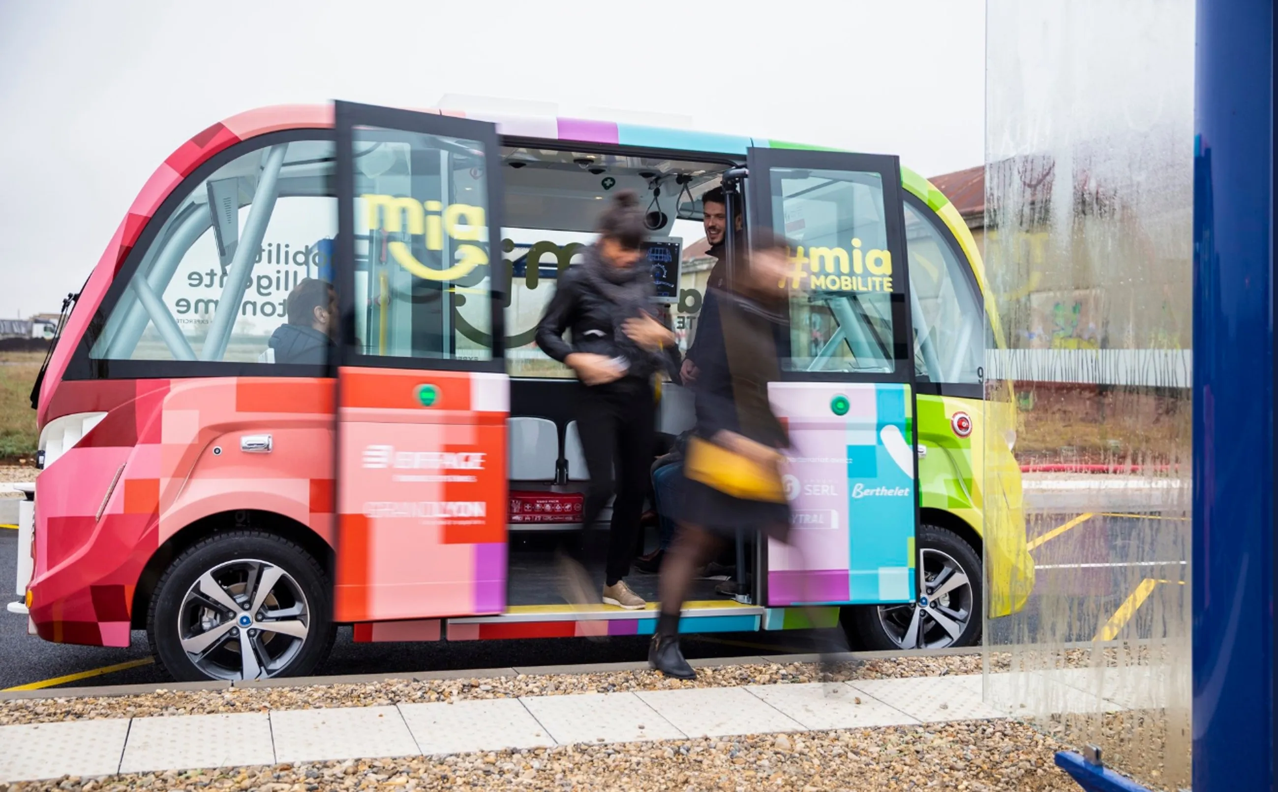
Researchers can then use this point cloud data to develop algorithms that classify cars, trucks, pedestrians, two-wheelers and other road objects.
In August, the researchers deployed the first 46 measuring stations across a 2.4km stretch of urban streets and intersections. Over the next couple of months, they will complete the deployment of all measuring stations across rural and highway testbeds.
“By creating a digital twin that spans Aachen’s diverse urban, highway, and rural roads, researchers are able to capture various edge cases including different terrain and weather conditions,” Chan points out.
A second phase will focus on creating a connected infrastructure that safely integrates connected and autonomous vehicles (C/AV) within mixed traffic.