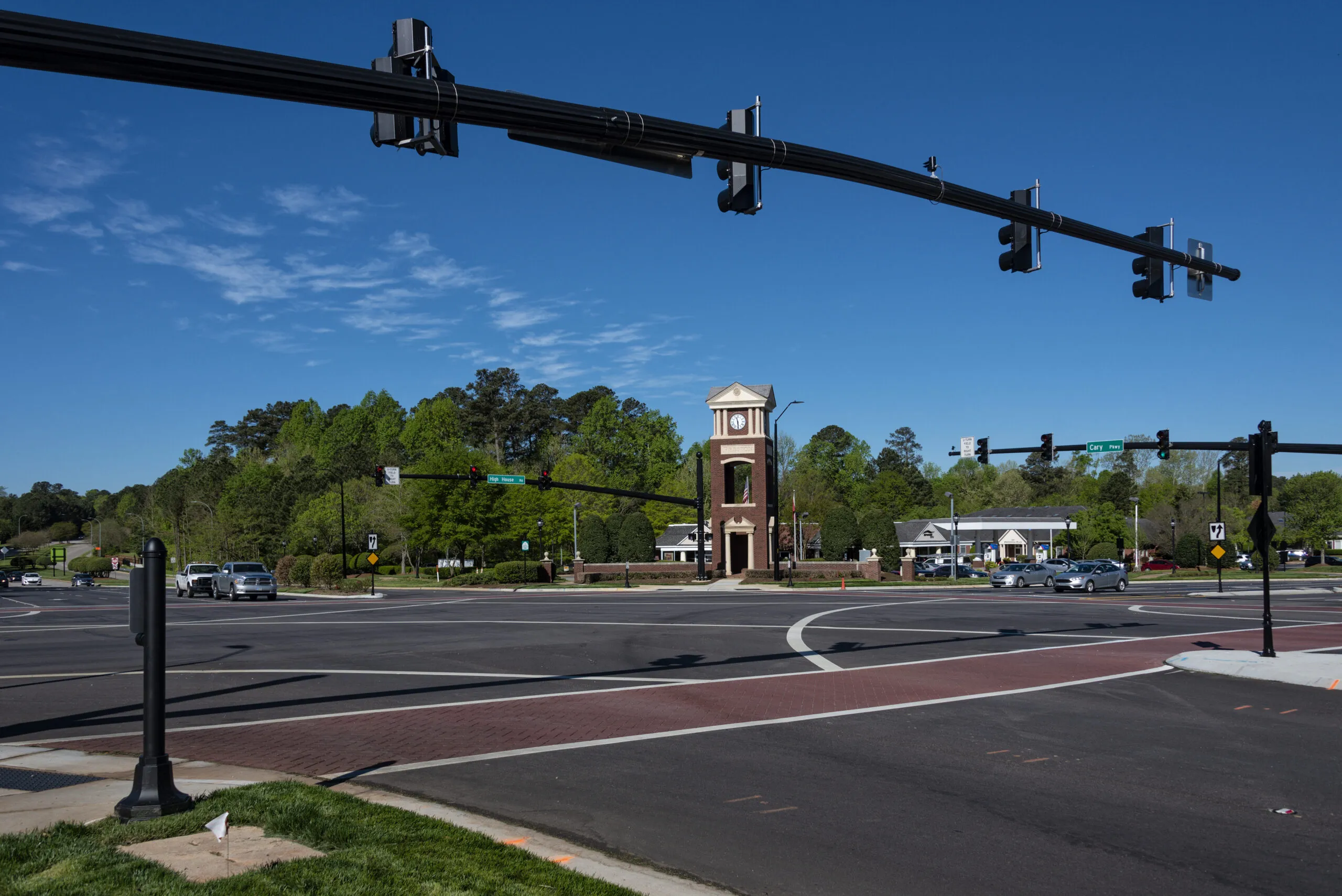
Applied Information is to upgrade a traffic control system with Internet of Things (IoT) technology as part of a $2 million project in Cary, North Carolina.
Applied says the technology will improve safety, maximise responsiveness of traffic for all users, and provide valuable data for future applications and transportation projects.
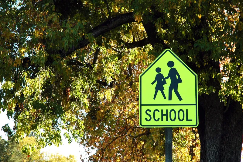
The project will provide IoT connectivity and connected vehicle applications to traffic signals, school zone safety beacons and pedestrian crossings.
The company reveals that opportunities will be available to improve upon existing emergency and public transportation vehicle pre-emption at signals with a GPS-based system, offering greater distance.
The town’s traffic engineers will also be able to monitor and control the technology from their connected devices.
Additionally, citizens can use the TravelSafely app to connect with the infrastructure and other users.
According to Applied, this connectivity facilitates interaction between drivers and traffic control devices delivering an extra layer of awareness and improved safety at intersections, in school zones and areas where vulnerable road users are present.
TravelSafely will alert drivers if they are about to run a red light or are in potential conflict with a pedestrian or cyclist to inform them about where they are and to adjust their actions to be safer.
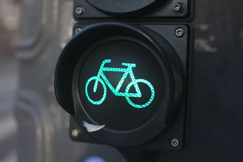
The connectivity for the project is LTE Cellular Vehicle to Everything (C-V2X) network. It enables pedestrians and cyclists to utilise its safety applications while on the streets.
The C-V2X network technology also allows emergency vehicles to communicate with multiple traffic signals in the direction of travel and change the light to green or hold the light green. Traffic in front of the emergency vehicle is kept moving while oncoming and cross-traffic is brought safely to a halt.
Deployments in other municipalities indicate a time savings of about 10 seconds or more per light using the technology, the company adds.