Stalker Radar’s new sensor tracks vehicles up to 400m

Stalker Radar claims its new Stationary Speed Sensor II’s narrow (6°) beam is lane specific and can accurately detect and track up to ten vehicles in a single lane at distances of up to 400 meters. The 6° x 26° sensor is small size and light weight with a broad operating temperature and low power consumption, allowing it to be used in a range of environments and applications, while its target recognition/filtering settings enable it to adapt to any type vehicle or road condition.
June 7, 2016 Read time: 1 min

7624 Stalker Radar claims its new Stationary Speed Sensor II’s narrow (6°) beam is lane specific and can accurately detect and track up to ten vehicles in a single lane at distances of up to 400 meters.

The 6° x 26° sensor is small size and light weight with a broad operating temperature and low power consumption, allowing it to be used in a range of environments and applications, while its target recognition/filtering settings enable it to adapt to any type vehicle or road condition. Three communications ports and 14 data protocols allow it to easily interface with cameras, signs, traffic controls, statistical applications or other systems that require reliable and accurate speed measurement.

For traffic analysis, a narrow-beam sensor with on-board traffic statistics capability, coupled with Stalker’s Traffic Statistics App is said to offer a comprehensive solution, presenting data in a graphing window.

For more information on companies in this article

Related Content

  • SPONSORED CONTENT: Using AI to achieve real traffic intelligence
    June 3, 2020
    The application of artificial intelligence has the potential to transform the performance of vision-based systems used for a wide and growing set of applications. These include vehicle presence detection and identification, count and classification, and enforcement, explains Roy Czinku of International Road Dynamics
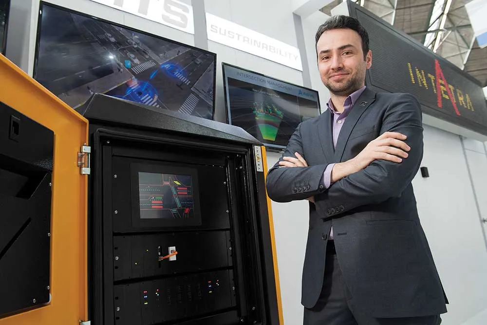
  • Intetra signals a new era
    March 31, 2022
    Intetra is using Intertraffic as the launch platform for its new adaptive traffic signal controller.
  • Data provides structural support for BQE
    July 28, 2025
    Thousands of bridges in the US are ageing and in need of care and attention. Kistler explains how its WiM technology is helping to preserve New York’s famous Brooklyn-Queens Expressway…
  • Calculating the cost of stellar solutions
    August 10, 2016
    The increasing availability and accuracy of global navigation satellite system (GNSS) is opening up low-cost options in many areas as David Crawford finds out. Boosting commercialisation of European global navigation satellite system (EGNSS) technologies for ITS initially depends heavily on demonstrating competitive and cost/benefit advantages obtainable from the deployment of EGNOS (the current European Geostationary Navigation Overlay Service), and ultimately the EU’s Galileo constellation (see box). So,