Laser-based counting and classification

Swiss company ECTN has developed a Traffic Information Collector (TIC) system based on laser scanners. 3D vehicle data is generated by positioning the lasers over each lane, to automatically classify vehicles. Up to 28 different vehicle classes are categorised into standard classification tables, such as TLS5+1, TLS8+1, Swiss 10.
February 1, 2012 Read time: 1 min
Swiss company 535 ECTN has developed a Traffic Information Collector (TIC) system based on laser scanners. 3D vehicle data is generated by positioning the lasers over each lane, to automatically classify vehicles. Up to 28 different vehicle classes are categorised into standard classification tables, such as TLS5+1, TLS8+1, Swiss 10. According to the company, the best classification accuracy (>99 per cent) is obtained by using two laser scanners per lane, but an alternative installation requires one scanner per two lanes.

The system is also a free-flow dimensioning system of vehicles measuring height, width, length and velocity in a speed range up to 250km/h. The resulting data can be used for traffic control, traffic management and security surveillance applications. The system is also available as a portable version that can be installed on a bridge or gantry over the road within minutes.

For more information on companies in this article

Related Content

  • Monitoring, detection and control systems inside tunnels can do much to improve traveller safety
    August 6, 2013
    ITS technology can do a great deal to improve tunnel safety, as Colin Sowman discovers. It was back in April 2004 that the European Parliament adopted the EU Directive which lays down the Minimum Safety Requirements for Tunnels in the Trans-European Road Network (2004/54/EC). This was the first unitary legislation setting minimum safety standards for European road tunnels and was designed to harmonise the management of tunnel safety at a national level. Operators of existing tunnels have until 30 April 201
  • Asking drivers what information they need: radical but effective
    March 19, 2014
    When Texas A&M Transportation Institute was asked to devise a temporary traveller information system for work zones, it started by asking drivers what they need. Robert Brydia explains the thinking, implementation and results. US Interstate 35 (I-35) runs roughly north–south originating in Laredo, Texas and ends 1,500 miles away in Duluth, Minnesota having passed through Oklahoma, Kansas, Missouri and Iowa. Within Texas the I-35 splits into I-35E and I-35W passing through Dallas and Fort Worth respectiv
  • TDS keeps traffic authorities in the loop
    September 4, 2020
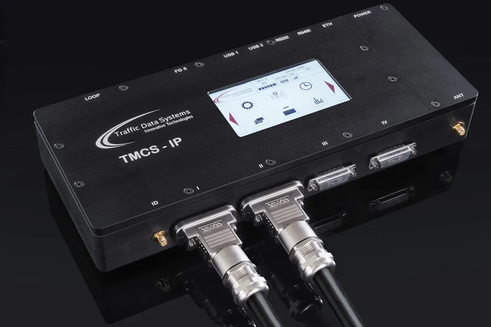
    Traffic Data Systems (TDS) is showcasing its latest development in the field of loop-based traffic monitoring and classification systems.
  • Bringing V2I and V2V communications to workzone safety
    January 26, 2012
    Imran Hayee of the University of Minnesota Duluth's Department of Electrical and Computer Engineering talks about efforts to bring V2I and V2V communications into work zones. With USDOT backing and under the auspices of the ITS Joint Program Office Connected Vehicle Research (formerly IntelliDrive) research programme, M. Imran Hayee of the University of Minnesota Duluth's Department of Electrical and Computer Engineering along with team of his students, have been conducting research into the application of