UK company CA Traffic has combined its Evo8 ANPR camera and Black Cat traffic monitoring technology to provide weigh in motion (WIM) and speed violation detection with high quality ANPR data. Both systems are configured with the local classification scheme, maximum road speed, vehicle speed and weight limits by class. Vehicle data (class, speed and weight) is sent from the Black Cat system to the EVo8, which checks for compliance with the data set for the road. Speed or weight violations cause the system
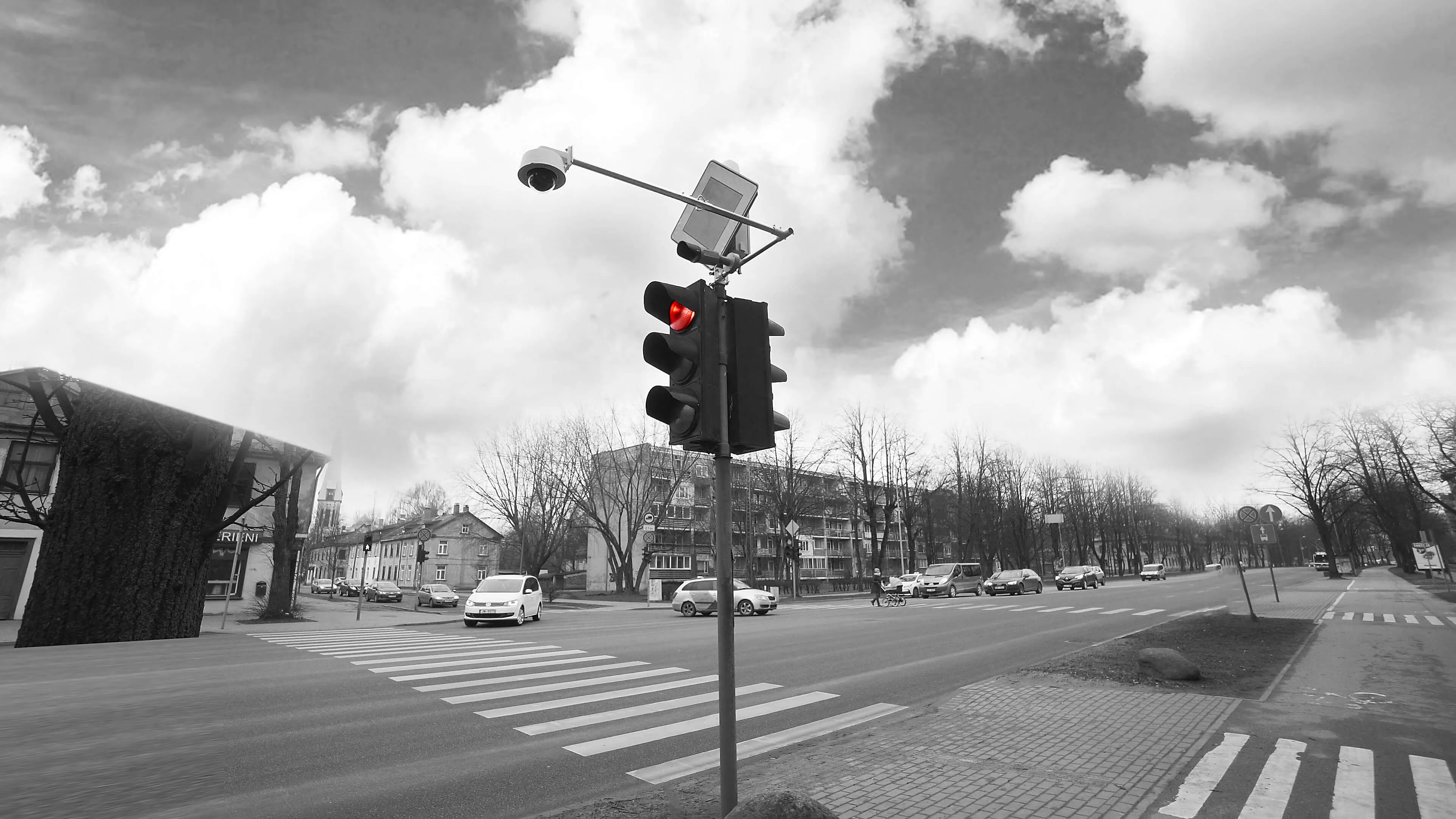
UK company 521 CA Traffic has combined its Evo8 ANPR camera and Black Cat traffic monitoring technology to provide weigh in motion (WIM) and speed violation detection with high quality ANPR data.
Both systems are configured with the local classification scheme, maximum road speed, vehicle speed and weight limits by class. Vehicle data (class, speed and weight) is sent from the Black Cat system to the EVo8, which checks for compliance with the data set for the road. Speed or weight violations cause the system to retrieve the vehicle image, including the violation metadata into the image, which is then sent to the relevant authorities.
The Evo8 is wi-fi enabled, allowing data to be transmitted to a nearby enforcement vehicle if required.
Both systems also continue to operate in their normal configuration; Black Cat as a standard traffic data collection outstation and the EVO8 as a surveillance camera sending police surveillance images or licence plate data for journey time calculations, all to up to four different client systems.