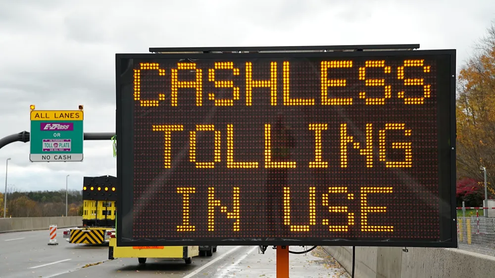
Vehicle Tracking Solutions (VTS) has joined forces with Bestpass to form a combined fleet management and toll management reconciliation platform to offer companies full visibility nationwide into all fleet, driver, and toll management operations. The solution is said to provide commercial fleets access to Bestpass’ national toll coverage network, including 100% of the major U.S. toll roads and more than 40 tolling groups.
The platform combines VTS’ fleet management platform Silent Passenger and Bestpass’ streamlined toll management system.
Within the solution, the consolidated data sets allow fleet managers to manage overall operations more efficiently, while matching key geographic information on drivers, vehicles, as well as other critical fleet operations data.
Managers can also use it to compare GPS-based toll actual usage with billing reports as well as reduce the number of necessary platforms for daily fleet operations. In addition, the technology aims to consolidate nationwide toll management into single-source billing and create savings through top-tier volume discounts on monthly toll expenses.
John Cunningham, CEO at VTS, said: "Today, clients of VTS are driving their enterprise fleet with actionable business intelligence using our dynamic fleet management software, connecting vehicles, drivers, and processes across every touch point within their organizations. This strategic partnership will add tremendous value by allowing fleet managers complete visibility into their nationwide toll usage with one-source consolidated billing. Drivers move seamlessly across the country using real-time toll data to optimize their operations and efficiency, while fleet managers can now reconcile fleet actual usage versus toll reports and billing. Clients also benefit from top-tier toll volume discounts of up to 20%, while reconciling significant savings and credits."
VTS and Bestpass platform unifies fleet and toll management reconciliation
Vehicle Tracking Solutions (VTS) has joined forces with Bestpass to form a combined fleet management and toll management reconciliation platform to offer companies full visibility nationwide into all fleet, driver, and toll management operations. The solution is said to provide commercial fleets access to Bestpass’ national toll coverage network, including 100% of the major U.S. toll roads and more than 40 tolling groups. The platform combines VTS’ fleet management platform Silent Passenger and
January 5, 2018
Read time: 2 mins


