Russia solution digitises city traffic

Moscow-based Urbantech's mobile laboratories use machine vision and Lidars
By Eugene Gerden May 25, 2021 Read time: 2 mins
Digitisation of a 'standard' city takes two weeks, says Urbantech (© BiancoBlue | Dreamstime.com)

A new solution for the digitalisation of a city's roads and infrastructure has been officially presented in Russia.

Created by Moscow-based Urbantech, one of the leading Russian designers of ITS solutions, it was showcased at Intelligent  Transport Systems - Regions, the ITS exhibition recently held in the Kaluga region. 

According to the developers, the solution helps regional transport authorities gather up-to-date data on the condition of road facilities, to take prompt measures to restore damaged infrastructure, as well as to automatically prepare all the necessary documentation for the organisation of a reliable system of road traffic.

Mobile laboratories carry out automated digitisation of highways as they pass through a city to collect reliable information - with accurate measurements of coordinates and parameters of objects with panoramic photographs.

The system uses machine vision, neural network analysis and Lidars, allowing the online regime to identify and classify various road objects (traffic lights, road signs, road surface) and their current state with a positioning accuracy of 10cm.

The data is then supplied to transport authorities. 

One mobile laboratory can cover 150km per day, with photo panoramas and object passports provided the next day.

Digitisation of a 'standard' city (with a road network up to 1,000 km and mainly two-lane traffic in each direction) takes no more than two weeks. 

The system can be used not only for primary digitisation, i.e. the creation of a digital duplicate, but also for regular monitoring of road infrastructure.

The new data is placed on the existing duplicate, which allows weaknesses of road traffic to be identified in a particular city or a region, which means authorities can take necessary measures to prevent possible road accidents and congestion.

Related Content

  • October 5, 2020
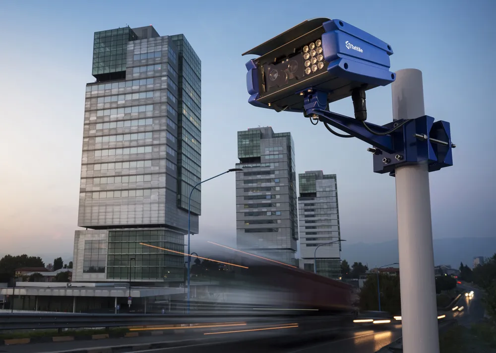
    Tattile explores freedom of movement
    Dense urban centres are complex enforcement environments – but camera-based traffic systems enable all aspects of monitoring, explains Massimiliano Cominelli of Tattile
  • July 22, 2021
    UITP launches city mobility database
    Public transportation body joins with Moscow Transport to launch CityTransitData project
  • January 30, 2012
    Road safety systems on show at ITS World Congress
    A vast array of new products and systems for aiding road safety were displayed at the ITS World Congress in October. David Crawford assesses a selection of safety initiatives exhibited in Orlando. Vital roles for ITS applications in road traffic safety emerge clearly from a new report from the US Transportation Safety Advancement Group. The report has been carried out for the Next Generation 911 What's Next Forum, which is preparing the way for future development of the US national 911 emergency single call
  • June 25, 2012
    UK companies in traffic-monitoring project in Uganda
    UK consultant Roughton International, working on behalf of the Uganda National Roads Authority (UNRA), has teamed up with Sky High and Traffic Technology to deploy traffic flow data collection equipment suitable for the Ugandan road network. In-road sensors were not suitable due to the probability of regular damage. Sky High therefore recommended Traffic Technology’s SDR radar traffic classifier to provide vehicle count, classification and speed data because it provides accurate data even on the uneven or b