Road data role for Sydney buses

Asset AI scheme sees 32 public transport buses equipped with a camera and sensor
By David Arminas July 22, 2022 Read time: 2 mins
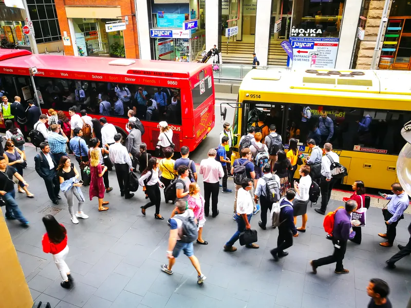
Downtown Sydney: all aboard the AI data bus (© Bundit Minramun | Dreamstime.com)

New South Wales is trialling the use of buses equipped with sensors to predict the rate of road deterioration in order to prioritise road maintenance.

Under the US$1.97 million scheme, called Asset AI, currently 32 public transport buses in the Greater Sydney area each have a camera and sensor.

The technology can be combined with local weather observations to predict the rate of deterioration, according to a statement by the New South Wales government.

The joint initiative by Transport for NSW and the Roads and Transport Directorate includes the technology being mounted onto garbage trucks.

Sam Farraway, minister for regional transport and roads, also said data is being collected outside of the city by a utility vehicle mounted with cameras scanning 100km of rural roads across the state. “We will have it out collecting data along the Great Western Highway between Lithgow and Bathurst, the Sturt Highway near Wagga Wagga and around Spring Ridge in the Upper Hunter.”

Natalie Ward, minister for metropolitan roads, said technology is revolutionising road maintenance across the state. “It’s a brilliant use of resources already on our roads. Mounting cameras and sensors onto vehicles with regular routes, like garbage trucks and public transport buses, ensures road defects are captured incidentally, including those un-reported by residents,” she said.

The NSW government says it is delivering the largest transport infrastructure programme in Australia, a  US$52.15 billion of investment over four years for projects including Sydney Metro, light rail, motorways and road upgrades that will shape the state’s cities, centres and communities for generations to come.

For more information on companies in this article

Related Content

  • LiDAR sets its sights on future problems
    February 23, 2017
    AAdvances in LiDAR are helping transport authorities improve services and identify potential problem areas, as geospatial technology expert Dr Neil Slatcher explains. The effects of climate change on the transport infrastructure have long been a cause of concern within the transportation sector - and not only on the structures themselves but also on the surrounding areas. This year, those concerns have become reality with landslides, structural collapses and surfacing issues impacting services across the wo
  • AI is creating road maintenance savings
    July 30, 2021
    Artificial intelligence is starting to create savings for hard-pressed local authorities when it comes to road maintenance. David Crawford reviews recent advances in cost and performance control
  • Milestone for Opal smart cards in Sydney
    August 1, 2013
    Public transport passengers in Sydney, Australia, have enthusiastically welcomed the city’s new Opal smart card, being progressively rolled out across ferries, trains, buses and light rail in the greater Sydney area, with 10,000 already issued since trials began in December 2012. By 2015 the Opal system, being installed by the Cubic-led Pearl Consortium for Transport New South Wales, will cover 42 ferry wharves, more than 300 train stations and more than 5,000 buses and light rail systems.
  • Sydney gets real-time bus information
    December 18, 2012
    Sydney bus passengers can now track whether their bus service is running late, with the New South Wales (NSW) government making real-time information on bus movements available to mobile app developers. The latest versions of TripView, Arrivo Sydney and TripGo allow users to locate the nearest bus stop and ticket machine, predict when a bus is to arrive and see where a bus is on its route using GPS data from the Public Transport Information Priority System (PTIPS). The real time information will initially b